
Get matched with top land surveyors in Manhattan Beach, CA
Enter your zip and get matched with up to 5 pros
Need a pro for your land surveying project in Manhattan Beach, CA?
Select your specific project to find the pro for you.
Verified Reviews for Land Surveying pros in Manhattan Beach, CA
*The Angi rating for Land Surveying companies in Manhattan Beach, CA is a rating based on verified reviews from our community of homeowners who have used these pros to meet their Land Surveying needs.
*The HomeAdvisor rating for Land Surveying companies in Manhattan Beach, CA is a rating based on verified reviews from our community of homeowners who have used these pros to meet their Land Surveying needs.
Last update on November 27, 2025


Find Land surveyors in Manhattan Beach
VOORHEIS & VOORHEIS, INC.
VOORHEIS & VOORHEIS, INC.
Customers say: Quick response
Recommended by 100% of Angi customers
Recommended by 100% of HomeAdvisor customers
1974 years of experience
Voorheis & Voorheis is a family owned and managed land surveying company with deep roots in the greater Los Angeles community reaching back more than 45 years. The Hallmarks of our company continue to be Reliability, Accuracy, Integrity and Customer Service. Our highly experienced principals and friendly, veteran staff are uniquely qualified to handle a wide variety of surveying challenges both large and small. We utilize the latest technologies to achieve accurate and efficient survey results, which translates into confidence and value for our clients.
"what an amazing team! Communication was first right from the first contact to the follow up after filing the survey with the city. We had a delicate situation with the Neighbor property boundary, and Jeff’s crew couldn’t have been any more professional, polite, and critical to the final settlement of the boundary line . Thank you, Jeff and team. I’ll be back again."
Nancy R on December 2024

Human Nature Design & Construction Inc
Human Nature Design & Construction Inc
Customers say: True professional
Recommended by 95% of Angi customers
Recommended by 95% of HomeAdvisor customers
Human Nature Design & Construction Inc is a design to build and construction firm with a distinguished reputation. Our firm excels in residential and commercial projects. Whether you need help with minor updating, large-scale renovations or new construction, we’ll help you achieve the look you want, on time and within your budget!
"Leo and his crew where wonderful from the beginning to the end. They was very proud of their work and took the time to answer all our questions during the project. Leo supervised his workers on a dally base and devote the time needed to be at the job. The project was done within our budget and finish few weeks ahead of schedule. We where very happy with the final looks of the new guest house."
Ben F on July 2018
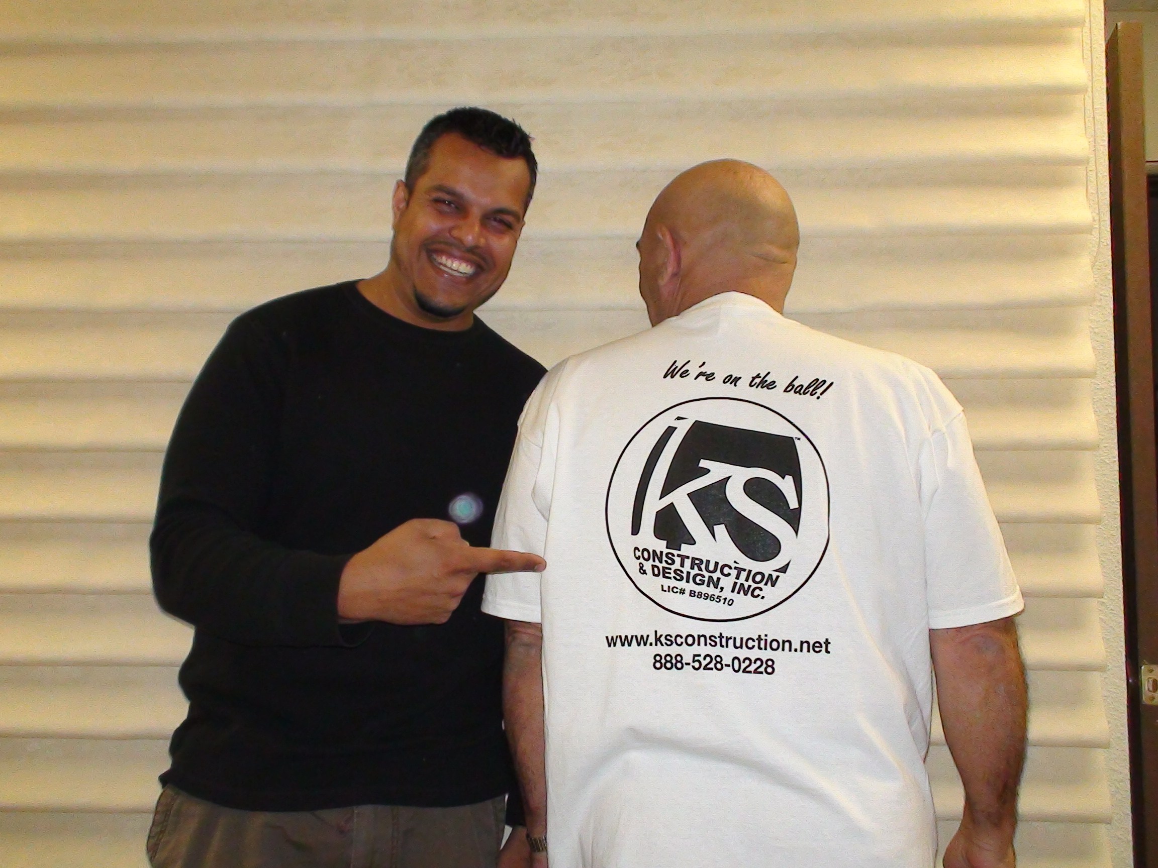
KS Flooring
KS Flooring
Customers say: Quick response
Recommended by 100% of Angi customers
Recommended by 100% of HomeAdvisor customers
KS Flooring is a fully licensed and insured General and Remodeling Contractor. Our innovative solutions have served the California area for the last 21 years.
KS Flooring is a fully licensed and insured General and Remodeling Contractor. Our innovative solutions have served the California area for the last 21 years.
Home Top Construction & Design Inc
Home Top Construction & Design Inc
Customers say: Super punctual
2009 years of experience
HomeTop Construction and Design Inc. has been a leader in construction and remodeling services. We are experts in bathroom remodeling, kitchen remodeling, roofing, room addition, patio cover and many other constructions and remodeling based services. Our team would take your ideas and convert them into reality.
HomeTop Construction and Design Inc. has been a leader in construction and remodeling services. We are experts in bathroom remodeling, kitchen remodeling, roofing, room addition, patio cover and many other constructions and remodeling based services. Our team would take your ideas and convert them into reality.
Go Green Construction, Inc
Go Green Construction, Inc
Customers say: Quick response
Recommended by 100% of Angi customers
Recommended by 100% of HomeAdvisor customers
Go Green Construction (Lic # 889248) is a general contractor serving the greater Los Angeles area. We build healthy homes that not only benefit their owners, but generations to follow. General Contractor specializing in Creating Healthy Living Environment for Your Family: Certified "Build-it-Green" Builder, EPA Lead Safe Certified, Non-Toxic Home Specialist. Whether you're looking to create a bigger kitchen, a new nursery, a completely new dream home, or upgrade your home to lower your energy bills, we can take care of it for you. Owner Fernando Feldman has been in the construction industry for over 35 years, and started his first general contracting business, Hand In Hand Construction (CA License #701965), in 1995. FREE QUOTE for Angie's List Members! Call us at 818-718-7477.
"Fernando and Go Green not only built our dream home, but became a part of our family. He and his team worked daily with care, compassion and were always professional and respectful to our living space and our neighbors. The original portion of our home was built in 1925. Fernando and his crew added a home on the back of our home, a swimming pool, two additional bathrooms and much more, all while my family of 4 lived in the original space. Construction can be very stressful but Fernando and his team always made us feel at ease. We knew we were in good hands. The best part is that all construction was completed and permits were signed off just before the pandemic. We felt like we were the luckiest family on earth living in this beautiful home while working and doing online school. I HIGHLY recommend Fernando Feldman and Go Green Construction for ALL of your construction needs. He does it right the first time and is beyond detailed making sure that you are 100% satisfied with the finished product."
Debra G on February 2021
CAL-QUAKE CONSTRUCTION
CAL-QUAKE CONSTRUCTION
Customers say: Terrific value
1982 years of experience
LICENSE #: 759817.
"Very bad not only did they delay the project 6 times. They also threatened residents in the neighborhood and left a huge mess. They would go days without showing up. Horrible experience never again."
Ashole a on March 2021
LICENSE #: 759817.
"Very bad not only did they delay the project 6 times. They also threatened residents in the neighborhood and left a huge mess. They would go days without showing up. Horrible experience never again."
Ashole a on March 2021
HARBOR LANDSCAPING
HARBOR LANDSCAPING
Customers say: Quick response
Recommended by 100% of Angi customers
Recommended by 100% of HomeAdvisor customers
Fernando Garcia: Founded Harbor Landscaping in 2002, a residential and commercial design, installation and maintenance business. As a second generation landscaper i fell in amour in this field. I earned my certification in Horticulture from Long Beach City College and landscape irrigation and turf management course from Cal Poly Pomona. in 2006 i received my C-27 Landscape Contractors State License.
Fernando Garcia: Founded Harbor Landscaping in 2002, a residential and commercial design, installation and maintenance business. As a second generation landscaper i fell in amour in this field. I earned my certification in Horticulture from Long Beach City College and landscape irrigation and turf management course from Cal Poly Pomona. in 2006 i received my C-27 Landscape Contractors State License.
Homfix Inc.
Homfix Inc.
Customers say: Quick response
Recommended by 100% of Angi customers
Recommended by 100% of HomeAdvisor customers
We are a Home Improvement and design Company that provides all type of home services from A to Z, Kitchen Remodel, Bathroom Remodel, Additions, Roof, Solar Panels, and ect..
We are a Home Improvement and design Company that provides all type of home services from A to Z, Kitchen Remodel, Bathroom Remodel, Additions, Roof, Solar Panels, and ect..
CaliLand Engineering Inc
CaliLand Engineering Inc
Customers say: Quality work
2000 years of experience
Land Surveying & Civil Engineering
"Long story short: Be careful with this company. They provide the services that you didn't ask for and charge the work that they didn't do. I call this company for applying a retaining wall permit. Kevin answered the phone, and I explained him I am going to build a retaining wall in my yard. He said ok. Then he sent me a contract for survey. I didn't look it carefully, then I signed and sent it to them. It is $2982. He sent his daughter here. Even though I explained what I need to do in my yard when they were doing the survey, they still did the survey. Kevin said no matter what, you will need this survey for your land in the future. Okay, I explained what I need to do again, then he charged me $2000 extra. After the first time plan review from the city, it was failed. I talked to Kevin, and he said he knows what to do. He charged me $900 for the soil pressure, I am not sure they did it or not. And he want to charge me $1550 for the quantity of the earth calculation, but I figured it out by myself. Or I will throw $1550 away. He sent me the plan and I submitted to the city again. I also let him know what the city want to correct and show on the plan. You already knew, it failed again! I don't have the patient or money for another failed plan. I already spent $5882 in total, but I didn't even get what I asked for. I will do the small claim and go with other company. In the end: Save your money and choose some other company."
Ryan F on June 2024
C & C Paving Company
C & C Paving Company
Customers say: Quick response
Recommended by 100% of Angi customers
Recommended by 100% of HomeAdvisor customers
C&C Paving Co. is a family owned business that specializes in customer satisfaction, and quality work as our only parameters.
C&C Paving Co. is a family owned business that specializes in customer satisfaction, and quality work as our only parameters.
Land Surveying questions, answered by experts
The Manhattan Beach, CA homeowners’ guide to land surveying services
From average costs to expert advice, get all the answers you need to get your job done.
 •
•Discover site preparation cost estimates, including average prices, cost factors, and tips to help homeowners budget for their next project.

A land survey can determine your property’s borders and settle property disputes. Learn how much a land survey costs and what can affect the price.

Just bought a plot of land and need to get it build-ready? Learn how much it costs to clear land to gauge your initial budget before you break ground.
 •
•Find out how much an elevation certificate costs, including average prices, cost factors, and tips to save money when hiring a surveyor for your property.

Boundary surveys and topographic surveys provide important information about a property. Learn the differences between boundary and topographic surveys.

Wondering whether you need a land survey or a plot plan? Learn about the differences between the two, when to do each, and what information they provide.
- Hermosa Beach, CA Land surveyors
- Redondo Beach, CA Land surveyors
- Lawndale, CA Land surveyors
- El Segundo, CA Land surveyors
- Hawthorne, CA Land surveyors
- Lennox, CA Land surveyors
- Torrance, CA Land surveyors
- Gardena, CA Land surveyors
- Inglewood, CA Land surveyors
- Playa Vista, CA Land surveyors
- Venice, CA Land surveyors
- Playa Del Rey, CA Land surveyors
- Marina Del Rey, CA Land surveyors
- Lomita, CA Land surveyors
- Rolling Hills, CA Land surveyors
- Palos Verdes Estates, CA Land surveyors
- Rolling Hills Estates, CA Land surveyors
- Palos Verdes Peninsula, CA Land surveyors
- Harbor City, CA Land surveyors
- Culver City, CA Land surveyors
- Rancho Palos Verdes, CA Land surveyors
- Baldwin Hills, CA Land surveyors
- Carson, CA Land surveyors
- Compton, CA Land surveyors
- Watts, CA Land surveyors
- Wilmington, CA Land surveyors
- Santa Monica, CA Land surveyors
- San Pedro, CA Land surveyors
- Lynwood, CA Land surveyors