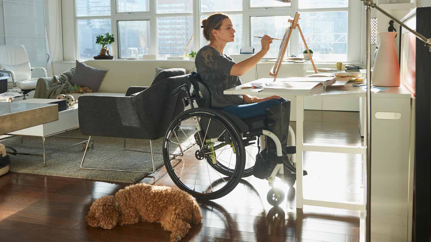
The cost to install a wheelchair platform depends on size, type, labor, and other factors. See how much your wheelchair platform could cost.
Land surveying costs depend on your project and location. Check with a local pro for your specific job.

Elevation certificate costs range from $400 to $750 for your property, with licensed surveyors charging hourly or flat fees near you.
Property type and site complexity drive your total, and multi-family or commercial buildings need more time on-site and more detailed reporting.
You should budget for site map updates and recertification fees after property changes, which can add several hundred dollars to your project.
Hiring a local land surveying professional ensures your certificate is accurate and accepted by FEMA and insurance companies.
This article was created using automation technology and thoroughly fact-checked and edited by an Angi Editor in accordance with our AI policy.
Homeowners pay an average of $600 for an elevation certificate, with most ranging from $400 to $750. Costs depend on property type, location, and the complexity of the survey. Some surveyors may charge per property or certificate. This guide will walk you through all the cost factors and help you understand what to expect for your project.
Understanding how much an elevation certificate costs means looking at more than just a flat fee. Let’s break down the main factors that affect what you’ll pay for this important document.
The type of property you own plays a major role in determining the cost of an elevation certificate. Residential homes, commercial buildings, and multi-family properties each have different requirements and complexity levels.
New construction projects may involve different procedures and documentation compared to existing structures. Multi-family or commercial properties often require more time on-site and more detailed reporting, which increases the cost.
Larger properties or those with complex layouts take more time for a surveyor to measure and document. If your home sits on a large lot or includes several outbuildings, expect your elevation certificate cost to be higher. Properties with multiple structures or unique terrain features (like steep slopes or water features) require extra surveying effort, which increases the fee.
Only licensed land surveyors, professional engineers, or architects can issue valid elevation certificates. Labor costs can be charged hourly or as a flat fee, and rates vary by experience, credentials, and local demand.
Urban areas with high demand may have higher rates, while rural regions can sometimes offer lower pricing. Surveyors may charge more for specialized expertise or when navigating complex local regulations.
| Professional Type | Hourly Rate | Flat Fee Range |
|---|---|---|
| Land surveyor | $175–$250 | $600–$2,000 |
| Professional engineer | $70–$250 | $700–$2,000 |
| Architect | $125–$250 | $600–$1,500 |
Some properties require extra preparation before the survey. If corners are inaccessible due to overgrown vegetation, fences, or other obstructions, you may incur additional fees. Surveyors may also charge for time spent gathering existing records or property documentation if you do not provide these upfront.
For difficult-to-access sites, extra site visits or specialized equipment can further raise the final bill.
Beyond basic survey fees, several other factors can influence how much an elevation certificate costs:
Rush order or expedited service fees if you need the certificate quickly.
Travel surcharges for properties located far from the surveyor’s office or in remote areas.
Administrative or document processing fees for required paperwork.
Fees for additional copies, digital files, or revisions to the certificate.
Building permit or regulatory fees in some localities.
Costs for updating or re-certifying the certificate after property additions or modifications.
Several add-ons may increase the cost of an elevation certificate, depending on your needs:
Site map or updated property plat: $400 to $700 if required
Re-certification after property changes: $25% to 50% of a new survey
These optional services can add value or convenience, but each comes with its own cost.
Let’s look at a few ways you can keep your elevation certificate costs manageable:
Get multiple quotes from local, licensed surveyors or engineers to compare rates and services.
Schedule during off-peak times to avoid rush fees or higher seasonal demand.
Provide existing property records or previous surveys to reduce the surveyor’s workload.
Bundle services if you need additional land surveying or property documentation for your home.
Prepare the site by clearing access points and removing obstacles before the surveyor arrives.
Ask about discounts for multiple properties or group rates if your neighbors also need certificates.
A little preparation and research can go a long way toward reducing your final bill.
When it comes to an elevation certificate, you cannot legally create a valid certificate yourself. Only local land surveyors, engineers, or architects can issue certificates that are accepted by FEMA and insurance companies.
The cost of hiring a licensed pro may seem significant, but it guarantees accuracy, compliance, and peace of mind. Professional surveyors use specialized equipment and have the training to ensure precise, legally defensible measurements.
A certified professional brings expertise that protects you and your property when obtaining an elevation certificate. Here’s why it’s best to work with an expert:
Working with a certified professional ensures your elevation certificate is accurate, reliable, and accepted by insurance companies.
Experienced pros reduce the risk of errors that could affect your flood premiums or insurance coverage.
Pros know how to identify property-specific factors that impact elevation and flood risk.
Experts can complete the process efficiently, saving you time and stress.
If you want to participate in the process, focus on smaller tasks such as:
Clearing the property of obstacles, debris, and overgrowth.
Take photos of your property for easy reference.
Mark general boundaries or key points.
Document any changes or features that could affect the elevation measurements.
Be prepared to discuss the type of elevation certificate you require, whether it is for residential, commercial, or new construction purposes.
Have a clear idea of your property size, boundaries, and structures.
Ask your professional about additional services, such as flood risk assessments or property maps.
Prepare for potential changes in your insurance coverage or premiums based on the updated elevation information.
Home is the most important place on earth, which is why Angi has helped more than 150 million homeowners transform their houses into homes they adore. To help homeowners with their next project, Angi provides readers with the most accurate cost data and upholds strict editorial standards. We extensively research project costs to develop the pricing data you see, so you can make the best decisions for you and your home. We rely on reputable sources, including the U.S. Bureau of Labor Statistics, academic journals, market studies, and interviews with industry experts—all to ensure our prices reflect real-world projects.
Want to help us improve our cost data? Send us a recent project quote to [email protected]. Quotes and personal information will not be shared publicly.
This company does it right. Firstly, I want to say that Landan was a joy to work with. He was so kind, transparent, and had everything under control. His entire team showed up ready to work and they were all very respectful of the fact that we were in an office space. A little backstory – we...
D1 Roofing delivers outstanding service from beginning to end, backed by a strong warranty and expert teams. I highly recommend them for their excellence in meeting and surpassing expectations with unmatched communication. Choosing D1 Roofing was flawless decision
Our homes curb appeal skyrocketed thanks to Custom Paint Jobs LLC s exterior painting.
Visited my home for estimate same day that I called. Painted on Saturday. Great job. Good price!
Excellent experience with hiring Tether House to Mount our 77’ Samsung TV in our bedroom. Fast, friendly, and knowledgeable. Highly recommend.
I had Window Depot USA of Central recommended from a friend and it was a great referral. From the first visit to the final install,my wife and I were very very satisfied. I was updated throughout the whole process. It was a pleasure doing business in a timely professional manner. We have...
Excellent experience! Left my place looking great. Friendly customer service too. Would recommend!
First of all, the gentleman I dealt with (Cam?) was very responsive to my many questions and concerns throughout the project, which is a huge plus to me. From the first time I met him for the estimate all the way til the completion of the job, he and his crew were professional and respectful....
 All Star Paving and Sealing
Manuel Calvillo is the best option in the area for roofing and you won't be disappointed.
Went well overall! The two downsides were 1) they only provided 2 of the 3 men promised and 2). the office guy who surveyed our apartment prior to the move underestimated the amount of stuff we had so the truck was too small. This meant the moving day lasted a bit longer than anticipated....
 Mr. Mover of Ohio Inc
From average costs to expert advice, get all the answers you need to get your job done.
The cost to install a wheelchair platform depends on size, type, labor, and other factors. See how much your wheelchair platform could cost.

Did you know there are different types of roof inspections? This guide will help you weigh roof inspection costs to figure out what’s worth it.
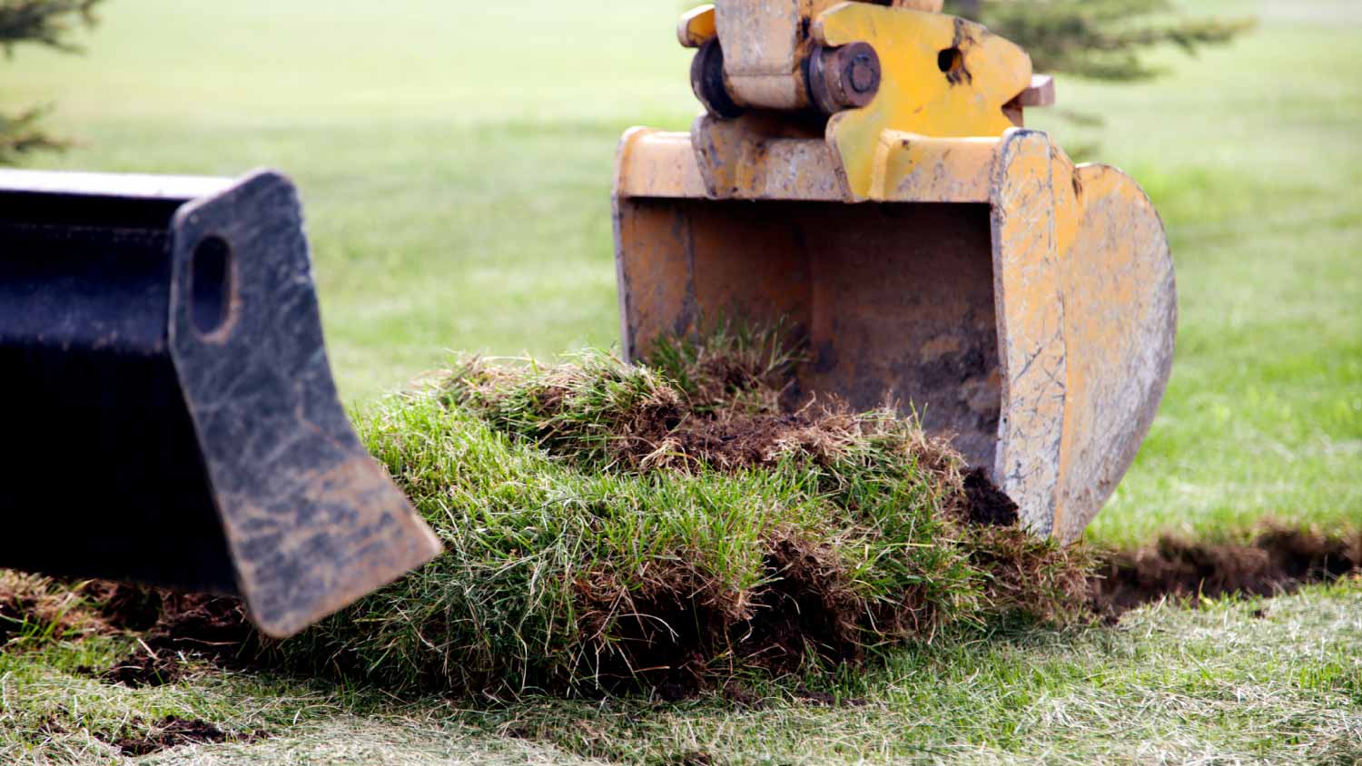
Discover site preparation cost estimates, including average prices, cost factors, and tips to help homeowners budget for their next project.
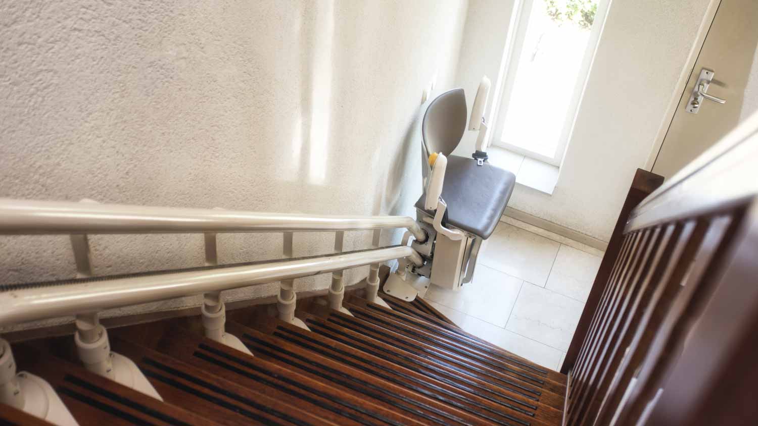
Learn how to hire a stair lift installation professional. Find qualified installers, get the right questions to ask, and ensure safe installation.

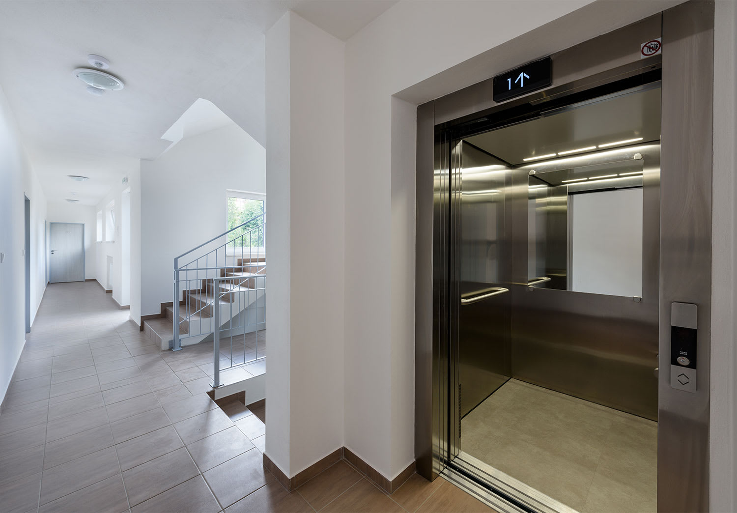
Elevators boost your home’s accessibility while adding a touch of style and value. Learn about the best professionals for installing a home elevator.
Learn how to hire elevator repair professionals with confidence. Find qualified technicians, ask the right questions, and ensure safe, reliable service.