
Get matched with top land surveyors in Holmes, NY
Enter your ZIP and get matched with up to 5 pros
Need a pro for your land surveying project in Holmes, NY?
Select your specific project to find the pro for you.
Verified Reviews for Land Surveying pros in Holmes, NY
*The Angi rating for Land Surveying companies in Holmes, NY is a rating based on verified reviews from our community of homeowners who have used these pros to meet their Land Surveying needs.
*The HomeAdvisor rating for Land Surveying companies in Holmes, NY is a rating based on verified reviews from our community of homeowners who have used these pros to meet their Land Surveying needs.
Last update on December 07, 2025


Find Land surveyors in Holmes

Aerial Land Surveying, D.P.C.
Aerial Land Surveying, D.P.C.
Customers say: Terrific value
292 local quotes requested
5 years of experience
Aerial Land Surveying, D.P.C. is a registered New York State land survey company primarily servicing Long Island, New York (Suffolk, Nassau County, Queens, Brooklyn, and the Bronx). Aerial has very competitive rates and turnaround times on services including mortgage/title surveys for home transactions, ALTA surveys, property corner stakeouts, elevation certificates and more.
"It went well"
Ed F on September 2025
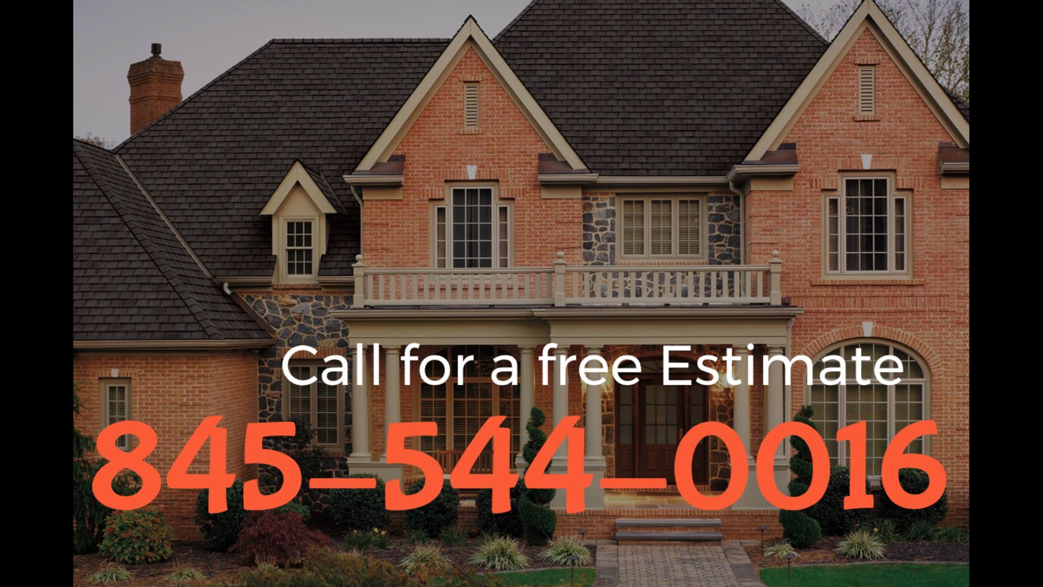
Hudson Valley Drones
Hudson Valley Drones
Free onsite estimate
Hudson Valley Drones is New York's premier aerial service provider. We specializing in providing drone and drone-related services directly to consumers and businesses. Whether you're a realtor looking to separate yourself from your competition, a construction manager interested in managing your job site with drone technology, or an aspiring drone pilot seeking classes or one-on-one instruction, we're the right choice to help make your vision a reality.
Hudson Valley Drones is New York's premier aerial service provider. We specializing in providing drone and drone-related services directly to consumers and businesses. Whether you're a realtor looking to separate yourself from your competition, a construction manager interested in managing your job site with drone technology, or an aspiring drone pilot seeking classes or one-on-one instruction, we're the right choice to help make your vision a reality.
Dippel Land Surveyors
Dippel Land Surveyors
17 years of experience
Professional land Surveying Services. New York State licensed and fully insured.
Professional land Surveying Services. New York State licensed and fully insured.
Northern Dutchess Realty Inc
Northern Dutchess Realty Inc
Cost is determined by the job. Additional email - [email protected].
Cost is determined by the job. Additional email - [email protected].
Land Surveying questions, answered by experts
The Holmes, NY homeowners’ guide to land surveying services
From average costs to expert advice, get all the answers you need to get your job done.
 •
•Discover site preparation cost estimates, including average prices, cost factors, and tips to help homeowners budget for their next project.

A land survey can determine your property’s borders and settle property disputes. Learn how much a land survey costs and what can affect the price.

Just bought a plot of land and need to get it build-ready? Learn how much it costs to clear land to gauge your initial budget before you break ground.
 •
•Find out how much an elevation certificate costs, including average prices, cost factors, and tips to save money when hiring a surveyor for your property.

Real estate transactions often require a survey, but who pays for it? Learn who pays for a land survey in most cases and some exceptions to the norm.

Land surveys provide an accurate record of your property. Learn how long a land survey is good for and when you should have your property resurveyed.
- Carmel, NY Land surveyors
- Patterson, NY Land surveyors
- Brewster, NY Land surveyors
- New Fairfield, CT Land surveyors
- Sherman, CT Land surveyors
- Mahopac, NY Land surveyors
- Croton Falls, NY Land surveyors
- Lincolndale, NY Land surveyors
- Somers, NY Land surveyors
- Baldwin Place, NY Land surveyors
- Lagrangeville, NY Land surveyors
- Danbury, CT Land surveyors
- North Salem, NY Land surveyors
- Putnam Valley, NY Land surveyors
- Fishkill, NY Land surveyors
- Purdys, NY Land surveyors
- Wappingers Falls, NY Land surveyors
- New Hamburg, NY Land surveyors
- Jefferson Valley, NY Land surveyors
- Gaylordsville, CT Land surveyors
- New Milford, CT Land surveyors
- Granite Springs, NY Land surveyors
- Brookfield, CT Land surveyors
- Goldens Bridge, NY Land surveyors
- Plumbing in Holmes
- Septic Tank in Holmes
- Lawn And Yard Work in Holmes
- Cleaning in Holmes
- Deck Maintenance in Holmes
- Concrete Repair in Holmes
- Gutter Cleaning in Holmes
- Electrical in Holmes
- Roofing in Holmes
- Garbage Collection in Holmes
- Stone And Gravel in Holmes
- Flooring in Holmes
- Computer Repair in Holmes
- Painting in Holmes
- Roof Ice And Snow Removal in Holmes
- Excavating in Holmes
- Pest Control in Holmes
- Home Inspection in Holmes
- Tree Service in Holmes
- Cabinet Refinishing in Holmes
- Insulation in Holmes
- Pressure Washing in Holmes
- Window Cleaning in Holmes
- Solar Panels in Holmes
- Dumpster Rental in Holmes
- Welding in Holmes
- Siding in Holmes
- Fireplaces in Holmes
- Mailbox Repair in Holmes
- Kitchen And Bath Remodeling in Holmes
What do you need done? We’ll find top pros.
- 🌱 "Mow a small front yard"
- 🛠 "Fix a leaking pipe under the sink"
- 🏠 "Repair shingles on an asphalt roof"