
Get matched with top land surveyors in Scotia, NY
Enter your ZIP and get matched with up to 5 pros
Need a pro for your land surveying project in Scotia, NY?
Select your specific project to find the pro for you.
Verified Reviews for Land Surveying pros in Scotia, NY
*The Angi rating for Land Surveying companies in Scotia, NY is a rating based on verified reviews from our community of homeowners who have used these pros to meet their Land Surveying needs.
*The HomeAdvisor rating for Land Surveying companies in Scotia, NY is a rating based on verified reviews from our community of homeowners who have used these pros to meet their Land Surveying needs.
Last update on December 07, 2025

Find Land surveyors in Scotia

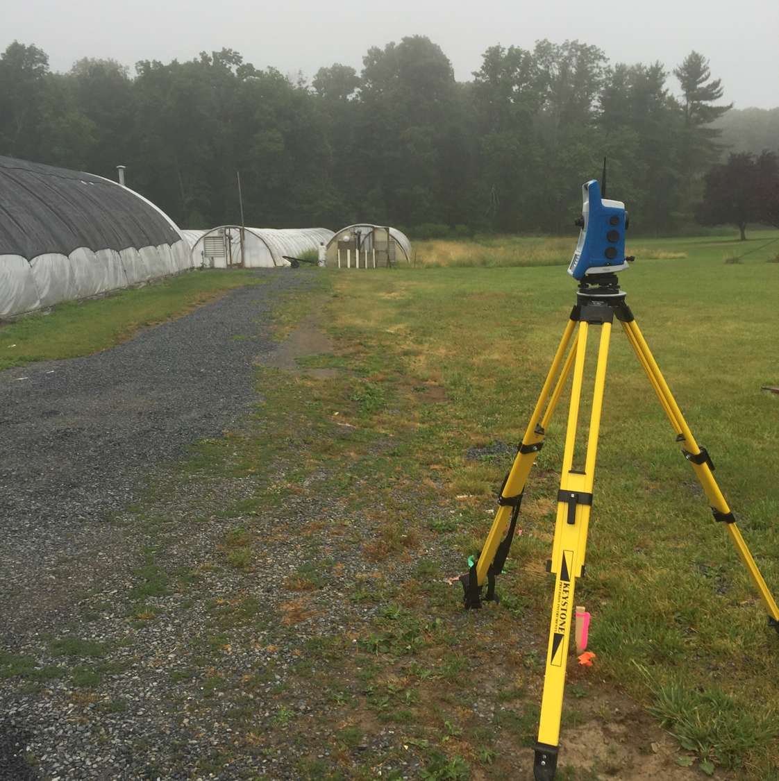
C.T. Male Associates Engineering, Surveying, Architecture, Landscape Architecture & Geology, D.P.C.
C.T. Male Associates Engineering, Surveying, Architecture, Landscape Architecture & Geology, D.P.C.
115 years of experience
Full services Architecture, Engineering and Surveying Firm located in the Capital District. In business since 1910. Services include Architecture, Energy & Building Systems, Civil Engineering, Environmental Services, Land Services and Survey.
Full services Architecture, Engineering and Surveying Firm located in the Capital District. In business since 1910. Services include Architecture, Energy & Building Systems, Civil Engineering, Environmental Services, Land Services and Survey.

Danskin Land Surveying LLC
Danskin Land Surveying LLC
68 years of experience
Here at Danskin Land Surveying LLC we understand the customer. We specialize in pipelines, gas and oil well locations, unit surveys, construction layouts, topographical boundaries, subdivision design, title and boundary surveys, unitization surveying, geodetic control surveys, digitizing, map reproduction and preparation, wetlands delineation, and dedicated mapping services. Call us today!
Here at Danskin Land Surveying LLC we understand the customer. We specialize in pipelines, gas and oil well locations, unit surveys, construction layouts, topographical boundaries, subdivision design, title and boundary surveys, unitization surveying, geodetic control surveys, digitizing, map reproduction and preparation, wetlands delineation, and dedicated mapping services. Call us today!
S Y KIM SURVEYORS
S Y KIM SURVEYORS
Customers say: Quality work
Recommended by 100% of Angi customers
Recommended by 100% of HomeAdvisor customers
We have been involved in all types of land surveys since 1974, and have provided services throughout the State of New York with the majority of our work performed within 100 miles of the Capital District.
We have been involved in all types of land surveys since 1974, and have provided services throughout the State of New York with the majority of our work performed within 100 miles of the Capital District.
OJ Meyer and Son Land Surveyors, PC
OJ Meyer and Son Land Surveyors, PC
Customers say: Quality work
67 years of experience
We are a family owned NYS Licensed and Insured Land Surveying Company. We have been servicing the Capital District and surrounding areas for close to 60 years. .We service the Capital District, as well as the entire NYS region.
"This company went above and beyond. We needed a survey done asap and they accommodated our request and went above and beyond to help our circumstances in order to sell our home. They were very friendly and very accommodating and got the report to the real estate agent the next day. They are lifesavers."
Joe D on September 2023
Johnson Surveying
Johnson Surveying
Customers say: Super punctual
Recommended by 90% of Angi customers
Recommended by 90% of HomeAdvisor customers
I provide professional surveying services for locations in PA, NJ and NY with very competitive prices, quality and timeliness. I have 30 years of experience. I now accept credit cards.
"Johnson Surveying came out and marked my daughter's property for a planned fence installation. I spoke with the owner Tim Johnson to set up the work and he came in just a couple days. He was very knowledgeable and professional. He answered all our questions and concerns and left us feeling very reassured and comfortable with the process. I would highly recommend Johnson Surveying"
Gina V on February 2025
Land Surveying questions, answered by experts
The Scotia, NY homeowners’ guide to land surveying services
From average costs to expert advice, get all the answers you need to get your job done.
 •
•Discover site preparation cost estimates, including average prices, cost factors, and tips to help homeowners budget for their next project.

A land survey can determine your property’s borders and settle property disputes. Learn how much a land survey costs and what can affect the price.

Just bought a plot of land and need to get it build-ready? Learn how much it costs to clear land to gauge your initial budget before you break ground.
 •
•Find out how much an elevation certificate costs, including average prices, cost factors, and tips to save money when hiring a surveyor for your property.

Not sure what kind of property survey you need? Learn about the differences between a land survey vs. a boundary survey to get started.

Real estate transactions often require a survey, but who pays for it? Learn who pays for a land survey in most cases and some exceptions to the norm.
- Schenectady, NY Land surveyors
- Burnt Hills, NY Land surveyors
- Charlton, NY Land surveyors
- Ballston Lake, NY Land surveyors
- Clifton Park, NY Land surveyors
- Round Lake, NY Land surveyors
- Guilderland, NY Land surveyors
- Malta, NY Land surveyors
- Ballston Spa, NY Land surveyors
- Altamont, NY Land surveyors
- Amsterdam, NY Land surveyors
- Colonie, NY Land surveyors
- Galway, NY Land surveyors
- Latham, NY Land surveyors
- Waterford, NY Land surveyors
- Mechanicville, NY Land surveyors
- Cohoes, NY Land surveyors
- Loudonville, NY Land surveyors
- Stillwater, NY Land surveyors
- Watervliet, NY Land surveyors
- Slingerlands, NY Land surveyors
- Green Island, NY Land surveyors
- Plumbing in Scotia
- Roofing in Scotia
- Kitchen And Bath Remodeling in Scotia
- Tree Service in Scotia
- Electrical in Scotia
- Swimming Pools in Scotia
- Moving in Scotia
- Lawn And Yard Work in Scotia
- Pest Control in Scotia
- Siding in Scotia
- Cleaning in Scotia
- Landscaping in Scotia
- Driveways in Scotia
- Windows in Scotia
- Pressure Washing in Scotia
- Concrete Repair in Scotia
- Garbage Collection in Scotia
- Flooring in Scotia
- Handyman Service in Scotia
- Foundation Repair in Scotia
- Garage Doors in Scotia
- Septic Tank in Scotia
- Gutter Cleaning in Scotia
- Landscaping Hardscaping And Pavers in Scotia
- Exterior Painting in Scotia
- Contractor in Scotia
- Insulation in Scotia
- Computer Repair in Scotia
- Doors in Scotia
- Excavating in Scotia
What do you need done? We’ll find top pros.
- 🌱 "Mow a small front yard"
- 🛠 "Fix a leaking pipe under the sink"
- 🏠 "Repair shingles on an asphalt roof"