
Get matched with top land surveyors in Stockholm, NJ
Enter your ZIP and get matched with up to 5 pros
Need a pro for your land surveying project in Stockholm, NJ?
Select your specific project to find the pro for you.
TRUSTED BY STOCKHOLM, NJ HOMEOWNERS
 4.9 Average homeowner rating
 10 Verified land surveying services reviews
Verified Reviews for Land Surveying pros in Stockholm, NJ
*The Angi rating for Land Surveying companies in Stockholm, NJ is a rating based on verified reviews from our community of homeowners who have used these pros to meet their Land Surveying needs.
*The HomeAdvisor rating for Land Surveying companies in Stockholm, NJ is a rating based on verified reviews from our community of homeowners who have used these pros to meet their Land Surveying needs.
Last update on December 08, 2025

Find Land surveyors in Stockholm
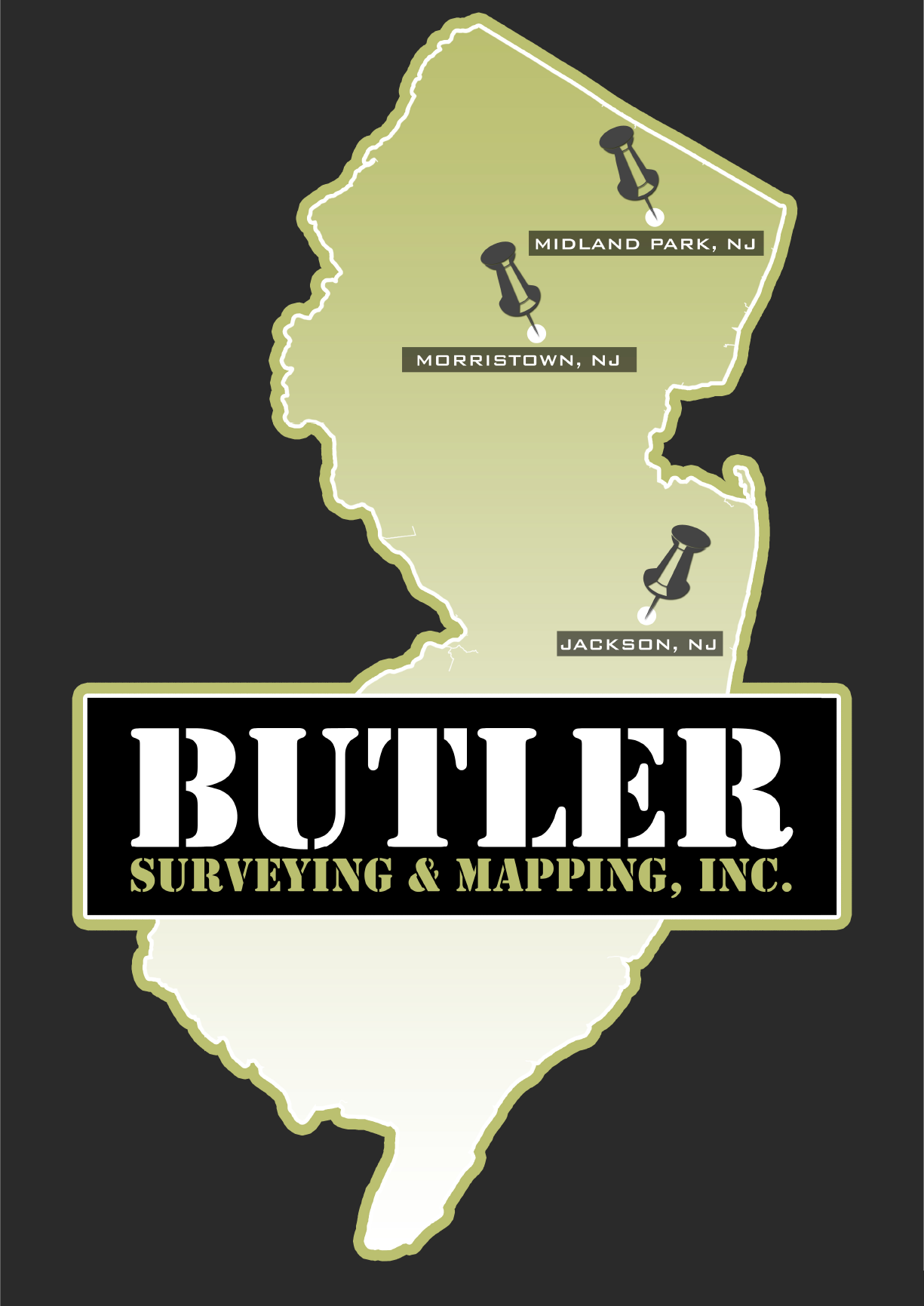
BUTLER SURVEYING AND MAPPING INC.
BUTLER SURVEYING AND MAPPING INC.
Customers say: Quick response
Recommended by 100% of Angi customers
Recommended by 100% of HomeAdvisor customers
2008 years of experience
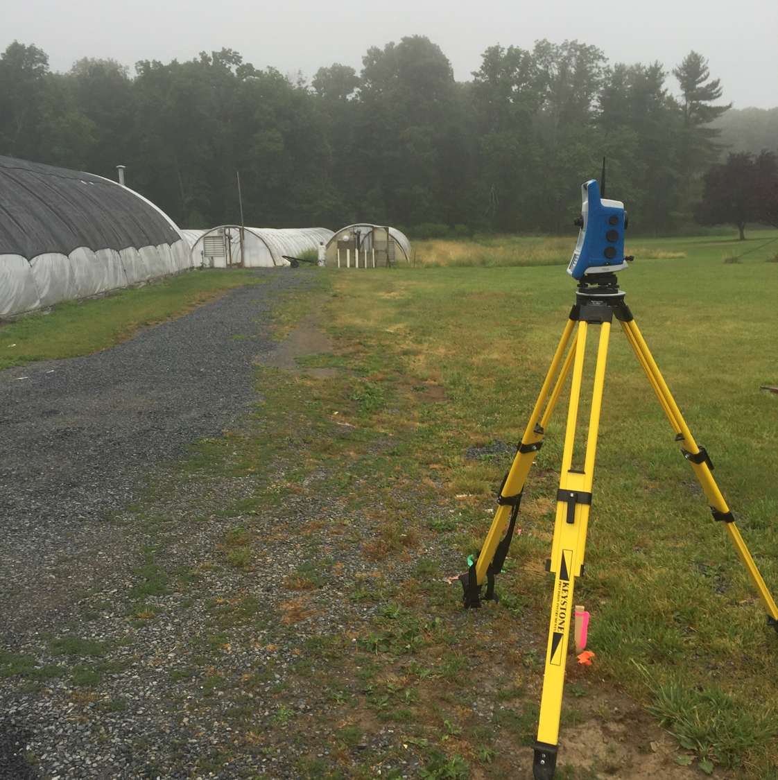
BUTLER SURVEYING AND MAPPING, INC. is a Bergen County based land surveying firm specializing in boundary and topographic surveys of all sizes. Our principals have worked together for the past forty years providing professional services to both private and public sector clients throughout all of New Jersey. Our key to success is the quality of work we produce, coupled with the timely service we provide to all of our clients.
"They understood the urgency of my request and delivered on time. Awesome service!"
Christian P on January 2025
ACCURATE TANK TESTING LLC
ACCURATE TANK TESTING LLC
Customers say: Quality work
Recommended by 96% of Angi customers
Recommended by 96% of HomeAdvisor customers
NJDEP Certified Company, NJDEP Certified Individual Technicians, Fully Insured
"They were responsive, flexible in scheduling, early to arrive, professional, and informative. The findings were told to us on site, and emailed within hours. Definitely would hire again!"
Sarah Brett E on November 2018
NJDEP Certified Company, NJDEP Certified Individual Technicians, Fully Insured
"They were responsive, flexible in scheduling, early to arrive, professional, and informative. The findings were told to us on site, and emailed within hours. Definitely would hire again!"
Sarah Brett E on November 2018
Johnson Surveying
Johnson Surveying
Customers say: Super punctual
Recommended by 90% of Angi customers
Recommended by 90% of HomeAdvisor customers
I provide professional surveying services for locations in PA, NJ and NY with very competitive prices, quality and timeliness. I have 30 years of experience. I now accept credit cards.
"Johnson Surveying came out and marked my daughter's property for a planned fence installation. I spoke with the owner Tim Johnson to set up the work and he came in just a couple days. He was very knowledgeable and professional. He answered all our questions and concerns and left us feeling very reassured and comfortable with the process. I would highly recommend Johnson Surveying"
Gina V on February 2025
SCANAPICO LANDSCAPING
SCANAPICO LANDSCAPING
Customers say: Quality work
Recommended by 97% of Angi customers
Recommended by 97% of HomeAdvisor customers
Lawn care, masonry, blacktop. Additional address: 573 Sunrise Highway, W. Babylon, NY 11704
"Never came back to make repairs that were needed as promised and was to replace the blacktop driveway it is now 19 months later always a bs story lies and false promises stay away from this clown now in process of legally taking it to another level in"
Robert T on July 2020
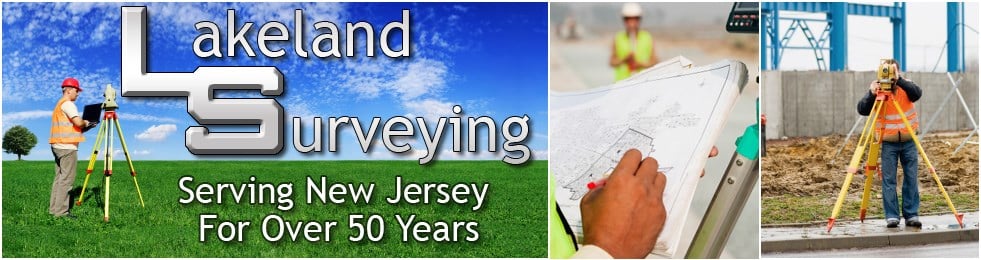
Lakeland Surveying, Inc.
Lakeland Surveying, Inc.
Customers say: Quality work
Recommended by 95% of Angi customers
Recommended by 95% of HomeAdvisor customers
We are a state wide New Jersey licensed professional land surveying company providing affordable professional products in a timely basis. For any inquiries, please include property address.
"Terrible communication. ‘Boss’ hides upstairs, and downstairs office people duck questions. Job start was delayed by 2 weeks and job was not completed to original description and agreement. State of job is not satisfactory. They do not respond to any request to discuss anything. 5 revisions to the map and it still is not right. They should not be on Angi. Not recommended. Use any other company."
Linda B on February 2023
Summit Land Surveying PC
Summit Land Surveying PC
Customers say: True professional
Recommended by 94% of Angi customers
Recommended by 94% of HomeAdvisor customers
With over thirty years of personal experience in land surveying, Summit Land Surveying P.C. is solely dedicated to the production of quality surveying. The company achieves this goal by using state of the art technology both in the field and in the office. Summit Land Surveying P.C. uses electronic total stations, robotic total stations, GPS (global positioning system), auto levels, and AutoCAD Land Development software. The final project is executed per the projects scope of work. The final product can be delivered in a digitized drawing along with hard copies.
With over thirty years of personal experience in land surveying, Summit Land Surveying P.C. is solely dedicated to the production of quality surveying. The company achieves this goal by using state of the art technology both in the field and in the office. Summit Land Surveying P.C. uses electronic total stations, robotic total stations, GPS (global positioning system), auto levels, and AutoCAD Land Development software. The final project is executed per the projects scope of work. The final product can be delivered in a digitized drawing along with hard copies.
Lantelme, Kurens & Associates
Lantelme, Kurens & Associates
Customers say: Quick response
Recommended by 100% of Angi customers
Recommended by 100% of HomeAdvisor customers
Civil Engineering and Land Surveying Firm, Based in Bergen County NJ.
Civil Engineering and Land Surveying Firm, Based in Bergen County NJ.
DAB Surveying Inc
DAB Surveying Inc
Customers say: Quality work
Recommended by 100% of Angi customers
Recommended by 100% of HomeAdvisor customers
Licensed & family owned & operated. Staff: David A. Brooks - Professional Land Surveyor, License #37577, and Douglas B. Smith - Professional Land Surveyor, License #43234.
"Our office has been working with Doug Smith and DAB Surveying for 20 years now. Every survey we have received was highly detailed and very accurate."
Todd L on September 2024
Leonard J Strandberg & Associates
Leonard J Strandberg & Associates
Customers say: True professional
Recommended by 100% of Angi customers
Recommended by 100% of HomeAdvisor customers
Consulting Engineers.
"Fantastic! I had a property survey and property stakeout conducted at my home residence earlier this month. The crew that conducted my survey and stakeout were very professional, courteous and thorough. They took the time to explain everything to me in detail in what they were doing and the results of their survey on my property. Based on my pleasant experience, I would highly recommend the firm and use them again if need be."
Dana G on May 2018

MAP Engineering
MAP Engineering
2000 years of experience
MAP Engineering, Inc. has been working with private and corporate clients in northern New Jersey since 2000. We provide comprehensive Professional Engineering and related services associated with the permitting process in today's difficult development landscape for residential and commercial projects.
"Smooth, Fast And efficient!"
Aaron A on February 2025
Land Surveying questions, answered by experts
The Stockholm, NJ homeowners’ guide to land surveying services
From average costs to expert advice, get all the answers you need to get your job done.
 •
•Discover site preparation cost estimates, including average prices, cost factors, and tips to help homeowners budget for their next project.

A land survey can determine your property’s borders and settle property disputes. Learn how much a land survey costs and what can affect the price.

Just bought a plot of land and need to get it build-ready? Learn how much it costs to clear land to gauge your initial budget before you break ground.
 •
•Find out how much an elevation certificate costs, including average prices, cost factors, and tips to save money when hiring a surveyor for your property.

Not sure what kind of property survey you need? Learn about the differences between a land survey vs. a boundary survey to get started.

If you've just been told that you need a land survey to continue your project, what time of land survey do you really need? Here are eight main options.
- Oak Ridge, NJ Land surveyors
- Ogdensburg, NJ Land surveyors
- Franklin, NJ Land surveyors
- Newfoundland, NJ Land surveyors
- Hamburg, NJ Land surveyors
- Vernon, NJ Land surveyors
- Sparta, NJ Land surveyors
- West Milford, NJ Land surveyors
- Highland Lakes, NJ Land surveyors
- Lafayette, NJ Land surveyors
- Hewitt, NJ Land surveyors
- Butler, NJ Land surveyors
- Kinnelon, NJ Land surveyors
- Hibernia, NJ Land surveyors
- Victory Gardens, NJ Land surveyors
- Rockaway, NJ Land surveyors
- Augusta, NJ Land surveyors
- Lake Hopatcong, NJ Land surveyors
- Bloomingdale, NJ Land surveyors
- Sussex, NJ Land surveyors
- Wantage, NJ Land surveyors
- Ringwood, NJ Land surveyors
- Wanaque, NJ Land surveyors
- Boonton, NJ Land surveyors
- Mount Arlington, NJ Land surveyors
- Wharton, NJ Land surveyors
- Hopatcong, NJ Land surveyors
- Pompton Lakes, NJ Land surveyors
- Newton, NJ Land surveyors
- Fredon Township, NJ Land surveyors
- Tree Service in Stockholm
- Gutter Cleaning in Stockholm
- Electrical in Stockholm
- Cleaning in Stockholm
- Stone And Gravel in Stockholm
- Flooring in Stockholm
- Lawn And Yard Work in Stockholm
- Roofing in Stockholm
- Plumbing in Stockholm
- Swimming Pools in Stockholm
- Home Inspection in Stockholm
- Siding in Stockholm
- Basement Waterproofing in Stockholm
- Handyman Service in Stockholm
- Deck Maintenance in Stockholm
- Painting in Stockholm
- Garbage Collection in Stockholm
- Pressure Washing in Stockholm
- Septic Tank in Stockholm
- Mulch And Topsoil in Stockholm
- Kitchen And Bath Remodeling in Stockholm
- Dumpster Rental in Stockholm
- Mailbox Repair in Stockholm
- Locksmiths in Stockholm
- Leaf Removal in Stockholm
- Landscaping Hardscaping And Pavers in Stockholm
- Gas Grill Repair in Stockholm
- Energy Audit in Stockholm
- Fireplaces in Stockholm
- Insulation in Stockholm
What do you need done? We’ll find top pros.
- 🌱 "Mow a small front yard"
- 🛠 "Fix a leaking pipe under the sink"
- 🏠 "Repair shingles on an asphalt roof"