
Get matched with top land surveyors in Hopatcong, NJ
Enter your ZIP and get matched with up to 5 pros
Need a pro for your land surveying project in Hopatcong, NJ?
Select your specific project to find the pro for you.
TRUSTED BY HOPATCONG, NJ HOMEOWNERS
 4.9 Average homeowner rating
 11 Verified land surveying services reviews
Verified Reviews for Land Surveying pros in Hopatcong, NJ
*The Angi rating for Land Surveying companies in Hopatcong, NJ is a rating based on verified reviews from our community of homeowners who have used these pros to meet their Land Surveying needs.
*The HomeAdvisor rating for Land Surveying companies in Hopatcong, NJ is a rating based on verified reviews from our community of homeowners who have used these pros to meet their Land Surveying needs.
Last update on December 03, 2025


Find Land surveyors in Hopatcong
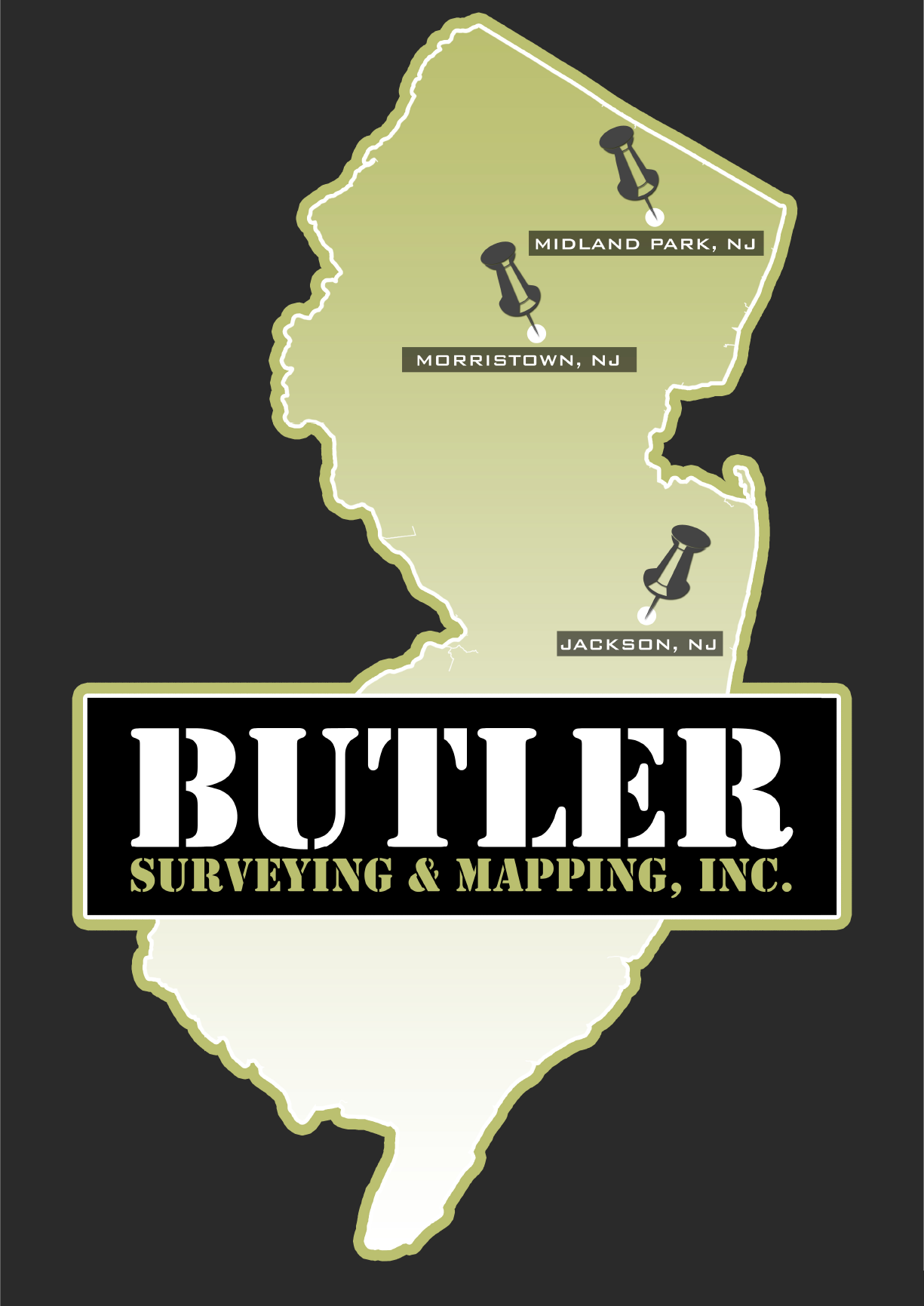
BUTLER SURVEYING AND MAPPING INC.
BUTLER SURVEYING AND MAPPING INC.
Customers say: Quick response
Recommended by 100% of Angi customers
Recommended by 100% of HomeAdvisor customers
192 local quotes requested
BUTLER SURVEYING AND MAPPING, INC. is a Bergen County based land surveying firm specializing in boundary and topographic surveys of all sizes. Our principals have worked together for the past forty years providing professional services to both private and public sector clients throughout all of New Jersey. Our key to success is the quality of work we produce, coupled with the timely service we provide to all of our clients.
"They understood the urgency of my request and delivered on time. Awesome service!"
Christian P on January 2025
Vallee Surveying
Vallee Surveying
17 years of experience
We support builders, developers, engineers, and homeowners throughout New Jersey when Land Surveying services are required. Vallee Surveying is an established Land Surveying company with nearly 15 years of experience. We pride ourselves on sustaining a wide verity of land surveying services with a responsive customer service approach. If you have any current needs, please provide us with the information and I can give you a quote. Vallee Surveying is owned and operated by Robert Vallee, P.L.S. Robert is a New Jersey Professional Land Surveyor and a member of the New Jersey Society of Professional Surveyors.
We support builders, developers, engineers, and homeowners throughout New Jersey when Land Surveying services are required. Vallee Surveying is an established Land Surveying company with nearly 15 years of experience. We pride ourselves on sustaining a wide verity of land surveying services with a responsive customer service approach. If you have any current needs, please provide us with the information and I can give you a quote. Vallee Surveying is owned and operated by Robert Vallee, P.L.S. Robert is a New Jersey Professional Land Surveyor and a member of the New Jersey Society of Professional Surveyors.

GTS Consultants
GTS Consultants
28 years of experience
GTS Consultants has earned a reputation as a Minority Owned and Operated business since 1997. GTS Consultants are known for: -being highly regarded-with warm referrals -client responsiveness -professional surveyors -providing excellent communication -quick turnaround -competitive prices We have gained the respect and confidence of our clients by providing technical excellence and quality services throughout New York, New Jersey and Pennsylvania. Our corporate headquarters is located in the beautiful city of Newark, New Jersey. We look forward to hearing from and working with you soon.
GTS Consultants has earned a reputation as a Minority Owned and Operated business since 1997. GTS Consultants are known for: -being highly regarded-with warm referrals -client responsiveness -professional surveyors -providing excellent communication -quick turnaround -competitive prices We have gained the respect and confidence of our clients by providing technical excellence and quality services throughout New York, New Jersey and Pennsylvania. Our corporate headquarters is located in the beautiful city of Newark, New Jersey. We look forward to hearing from and working with you soon.
Coastal Environmental Solutions, Inc.
Coastal Environmental Solutions, Inc.
8 years of experience
Coastal Environmental Solutions is a full-service environmental firm headed by Mr. Marc Morgenstern and Mr. Thomas Fitzpatrick, with expertise in all aspects of the environmental industry, including; environmental site assessments, testing, monitoring, and remediation services. Coastal's mission is to provide an efficient and unparalleled service at a competitive price.
Coastal Environmental Solutions is a full-service environmental firm headed by Mr. Marc Morgenstern and Mr. Thomas Fitzpatrick, with expertise in all aspects of the environmental industry, including; environmental site assessments, testing, monitoring, and remediation services. Coastal's mission is to provide an efficient and unparalleled service at a competitive price.
C.D. Development
C.D. Development
9 years of experience
C.D. Development provides small remodeling services, full restorations, new construction and everything in between. Based on the south shore of Long Island, servicing all of Long Island, New York City, Upstate New York and New Jersey.
C.D. Development provides small remodeling services, full restorations, new construction and everything in between. Based on the south shore of Long Island, servicing all of Long Island, New York City, Upstate New York and New Jersey.
Braswell Tower & Iron, LLC
Braswell Tower & Iron, LLC
14 years of experience
Full service telecommunications company that offers a wide range of installation, maintenance and decommissioning of communication appertanances.
Full service telecommunications company that offers a wide range of installation, maintenance and decommissioning of communication appertanances.
William Held Associates, Inc.
William Held Associates, Inc.
49 years of experience
William Held Associates, Inc. is a Licensed Professional New Jersey Land Surveying and Professional Planning firm with an office located in Central New Jersey. We offer land surveying and planning services throughout most of New Jersey. We are family owned and operated for over 50 years. Please contact us by phone, fax or email. We look forward to working with you.
William Held Associates, Inc. is a Licensed Professional New Jersey Land Surveying and Professional Planning firm with an office located in Central New Jersey. We offer land surveying and planning services throughout most of New Jersey. We are family owned and operated for over 50 years. Please contact us by phone, fax or email. We look forward to working with you.

Z Renovation Inc.
Z Renovation Inc.
11 years of experience
Our most recent contract was a SpeedWay Gas Station in NY. We can provide you with pictures. You are more than welcome to visit any of our current work sites with owners approval. Z Renovation Inc. is not like the rest that have 1-3 guys doing all sorts of work which they have minimal experience in. All of our contractors are experienced in their trade and will only be doing their specific duty. Z Renovation will make sure all the work is done in accordance with NY State Law. We will file all paperwork and pull permits when necessary as well as getting the Final CO at the end of the job. We take great pride in our work, and maintain to keep our name as a reputable company. Our number once goal is Client Satisfaction. We will not leave until you are 100% satisfied.
Our most recent contract was a SpeedWay Gas Station in NY. We can provide you with pictures. You are more than welcome to visit any of our current work sites with owners approval. Z Renovation Inc. is not like the rest that have 1-3 guys doing all sorts of work which they have minimal experience in. All of our contractors are experienced in their trade and will only be doing their specific duty. Z Renovation will make sure all the work is done in accordance with NY State Law. We will file all paperwork and pull permits when necessary as well as getting the Final CO at the end of the job. We take great pride in our work, and maintain to keep our name as a reputable company. Our number once goal is Client Satisfaction. We will not leave until you are 100% satisfied.
MYND Workshop
MYND Workshop
10 years of experience
MYND Workshop is a New York based company providing Architectural CAD Drafting, Surveying and 3D Visualization Services. Our clients include Architects, Engineers, Contractors, Developers, Asset Managers, Inventors and other professionals in the Design, Construction and Urban Development Industries. The mission of MYND Workshop is to provide truly useful drawings and renderings which are both clear and attractive.
MYND Workshop is a New York based company providing Architectural CAD Drafting, Surveying and 3D Visualization Services. Our clients include Architects, Engineers, Contractors, Developers, Asset Managers, Inventors and other professionals in the Design, Construction and Urban Development Industries. The mission of MYND Workshop is to provide truly useful drawings and renderings which are both clear and attractive.

SmithSurveying, Inc.
SmithSurveying, Inc.
45 years of experience
The Firm, founded in 1980, offers diversified land surveying services. Development surveying services include boundary and topographic analysis and mapping, utility and infrastructure investigation and mapping, project construction control and staking and as-built mapping. Our particular specialization is in investigations and boundary conflict resolution and FEMA Flood Zone Determinations
The Firm, founded in 1980, offers diversified land surveying services. Development surveying services include boundary and topographic analysis and mapping, utility and infrastructure investigation and mapping, project construction control and staking and as-built mapping. Our particular specialization is in investigations and boundary conflict resolution and FEMA Flood Zone Determinations
Land Surveying questions, answered by experts
The Hopatcong, NJ homeowners’ guide to land surveying services
From average costs to expert advice, get all the answers you need to get your job done.
 •
•Discover site preparation cost estimates, including average prices, cost factors, and tips to help homeowners budget for their next project.

A land survey can determine your property’s borders and settle property disputes. Learn how much a land survey costs and what can affect the price.

Just bought a plot of land and need to get it build-ready? Learn how much it costs to clear land to gauge your initial budget before you break ground.

A land surveyor can perform a land survey and help clarify your property boundaries and features. Use this guide to find the right professional.

Wondering whether you need a land survey or a plot plan? Learn about the differences between the two, when to do each, and what information they provide.

Land surveys provide an accurate record of your property. Learn how long a land survey is good for and when you should have your property resurveyed.
- Mount Arlington, NJ Land surveyors
- Stanhope, NJ Land surveyors
- Landing, NJ Land surveyors
- Lake Hopatcong, NJ Land surveyors
- Netcong, NJ Land surveyors
- Wharton, NJ Land surveyors
- Ledgewood, NJ Land surveyors
- Kenvil, NJ Land surveyors
- Andover, NJ Land surveyors
- Mine Hill, NJ Land surveyors
- Budd Lake, NJ Land surveyors
- Succasunna, NJ Land surveyors
- Flanders, NJ Land surveyors
- Dover, NJ Land surveyors
- Sparta, NJ Land surveyors
- Victory Gardens, NJ Land surveyors
- Newton, NJ Land surveyors
- Fredon Township, NJ Land surveyors
- Randolph, NJ Land surveyors
- Allamuchy, NJ Land surveyors
- Hibernia, NJ Land surveyors
- Ogdensburg, NJ Land surveyors
- Rockaway, NJ Land surveyors
- Denville, NJ Land surveyors
- Chester, NJ Land surveyors
- Lafayette, NJ Land surveyors
- Oak Ridge, NJ Land surveyors
- Hackettstown, NJ Land surveyors
- Mount Tabor, NJ Land surveyors
- Mendham, NJ Land surveyors
- Septic Tank in Hopatcong
- Kitchen And Bath Remodeling in Hopatcong
- Plumbing in Hopatcong
- Roofing in Hopatcong
- Lawn And Yard Work in Hopatcong
- Handyman Service in Hopatcong
- Leaf Removal in Hopatcong
- Gutter Cleaning in Hopatcong
- Cleaning in Hopatcong
- Siding in Hopatcong
- Home Inspection in Hopatcong
- Landscaping in Hopatcong
- Tree Service in Hopatcong
- Foundation Repair in Hopatcong
- Excavating in Hopatcong
- Painting in Hopatcong
- Mailbox Repair in Hopatcong
- Concrete Repair in Hopatcong
- Electrical in Hopatcong
- Windows in Hopatcong
- Pressure Washing in Hopatcong
- Fireplaces in Hopatcong
- Flooring in Hopatcong
- Moving in Hopatcong
- Insulation in Hopatcong
- Deck Maintenance in Hopatcong
- Chimney Sweep in Hopatcong
- Garbage Collection in Hopatcong
- Doors in Hopatcong
- Glass And Mirrors in Hopatcong
What do you need done? We’ll find top pros.
- 🌱 "Mow a small front yard"
- 🛠 "Fix a leaking pipe under the sink"
- 🏠 "Repair shingles on an asphalt roof"