Get matched with top land surveyors in Millersville, MD
Enter your ZIP and get matched with up to 5 pros
Need a pro for your land surveying project in Millersville, MD?
TRUSTED BY MILLERSVILLE, MD HOMEOWNERS
4.5
Average homeowner rating24
Verified land surveying services reviews
Verified Reviews for Land Surveying pros in Millersville, MD
*The Angi rating for Land Surveying companies in Millersville, MD is a rating based on verified reviews from our community of homeowners who have used these pros to meet their Land Surveying needs.
*The HomeAdvisor rating for Land Surveying companies in Millersville, MD is a rating based on verified reviews from our community of homeowners who have used these pros to meet their Land Surveying needs.
Last update on December 11, 2025
Find Land surveyors in Millersville
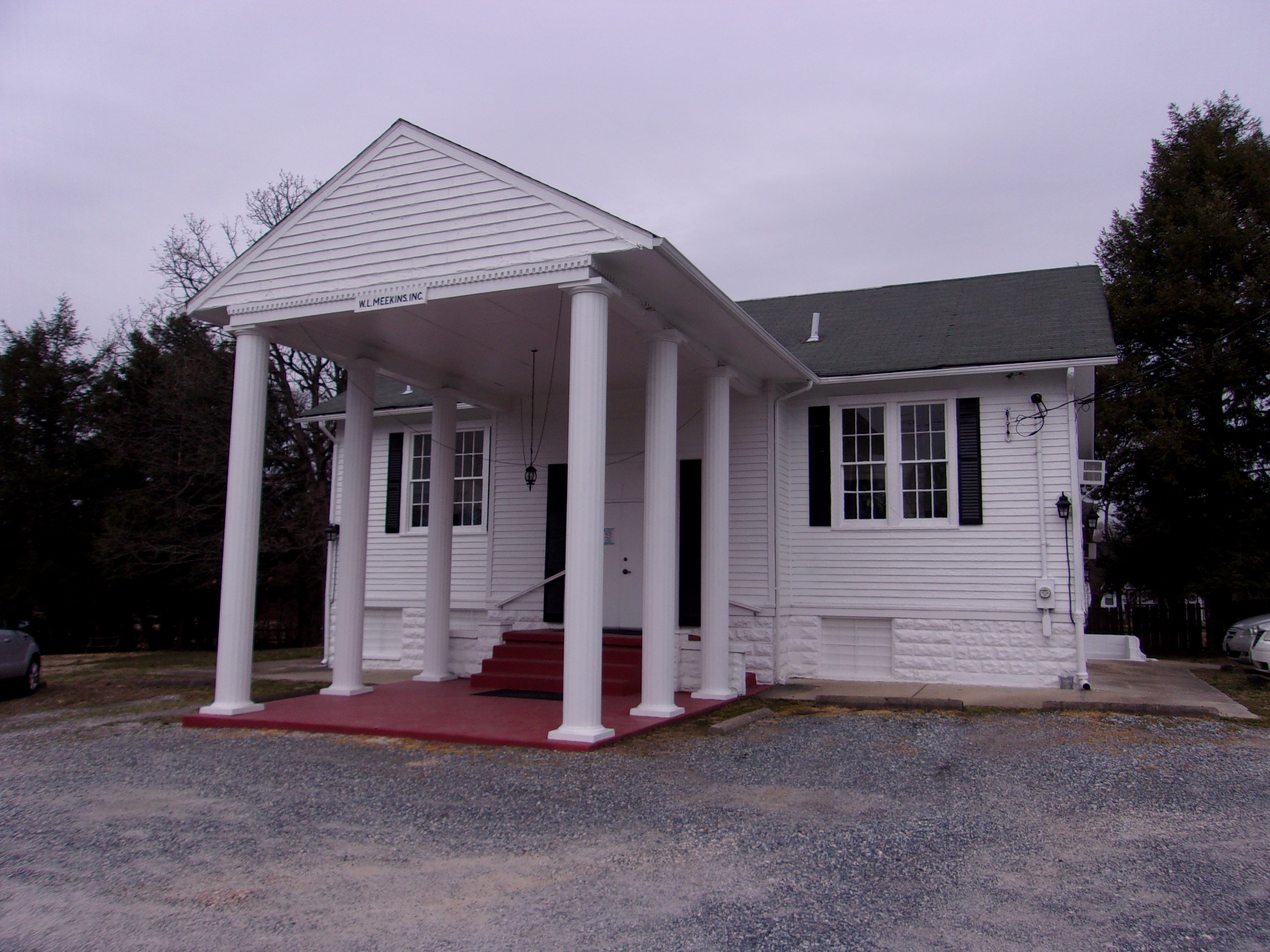
WL Meekins Inc Land Surveyors
WL Meekins Inc Land Surveyors
We have been providing land surveying services to the Maryland and Washington D.C. area since 1951 and specialize in residential site grading plans, boundary surveys, house location surveys, civil engineering services, site plans, and more.
"Great work"
Winstone N on June 2023
We have been providing land surveying services to the Maryland and Washington D.C. area since 1951 and specialize in residential site grading plans, boundary surveys, house location surveys, civil engineering services, site plans, and more.
"Great work"
Winstone N on June 2023

Messick Group, Inc.
Messick Group, Inc.
With 35+ years of experience, we work hard to bring each customer the best possible service and quality available. We look forward to working with you on your next project. We welcome your questions and thank you for your interest.
"My experience with Messick & Associates has been very disappointing. I paid the full contract amount of $26,500 for a subdivision project that remains unfinished. They now claim I owe more money but have provided no proof that I approved any extra charges, despite repeated requests. I even offered to resolve the matter through mediation or arbitration, but they refused. In my view, this conduct is unethical and unprofessional. I upheld my end of the contract, but they failed to complete theirs."
BOB B on October 2025

Cub Survey Group LLC
Cub Survey Group LLC
Cub Survey Group LLC is a leader in providing our customers with the highest quality service in an honest, efficient, and professional way. Our pledge is to create successful relationships with our customers, employees and community by building trust, treating every project with the utmost integrity and exceeding expectations. We look forward to working with you!
"Timely response, accurate, and friendly. "
Michael K on September 2025
Exterior Expressions Landscaping, L.L.C.
Exterior Expressions Landscaping, L.L.C.
Exterior Expressions Landscaping is a family owned buisness since 1998 Servicing Anne Arundel and neighboring Counties.
Exterior Expressions Landscaping is a family owned buisness since 1998 Servicing Anne Arundel and neighboring Counties.
EDWIN L SMITH
EDWIN L SMITH
I am a one-person sole proprietorship, using a robotic total station to do my surveying work, which I do in Baltimore and surrounding counties. I haven't used subcontractors in the past. My West Virginia licenses are Professional Engineer #9188, Professional Land Surveyor #828. I don't have a lot of experience in structural engineering, and I am not insured for that, so I don't practice it.
I am a one-person sole proprietorship, using a robotic total station to do my surveying work, which I do in Baltimore and surrounding counties. I haven't used subcontractors in the past. My West Virginia licenses are Professional Engineer #9188, Professional Land Surveyor #828. I don't have a lot of experience in structural engineering, and I am not insured for that, so I don't practice it.

Pyramid Land Development Solutions
Pyramid Land Development Solutions
A premier Land Development Solutions company and a commercial residential build and design management company all in one. Celebrating 31 years of increasing success in the highly competitive development industry. We can help make your next venture successful and profitable. Additional DBA - Pyramid Land Development.
A premier Land Development Solutions company and a commercial residential build and design management company all in one. Celebrating 31 years of increasing success in the highly competitive development industry. We can help make your next venture successful and profitable. Additional DBA - Pyramid Land Development.
RTF Associates Inc
RTF Associates Inc
Full service land surveying, planning and civil engineering firm. Established in 1972. Member of the better business bureau (bbb), maryland society of surveyors, and national society of professional surveyors. Additional DBA - R T F Inc, Professional land surveyors and planners.
Full service land surveying, planning and civil engineering firm. Established in 1972. Member of the better business bureau (bbb), maryland society of surveyors, and national society of professional surveyors. Additional DBA - R T F Inc, Professional land surveyors and planners.
PRESIDENTIAL LAND TITLE
PRESIDENTIAL LAND TITLE
4 EMPLOYEES. USES SUBS FOR SETTLEMENETS. COST DETERMINED BY THE JOB. NO TRAVEL CHARGES.
4 EMPLOYEES. USES SUBS FOR SETTLEMENETS. COST DETERMINED BY THE JOB. NO TRAVEL CHARGES.

Edward Glawe, LLC
Edward Glawe, LLC
Maryland Licensed Surveyor #21391, specializing in boundary surveys and elevation certificates for residential clients.
Maryland Licensed Surveyor #21391, specializing in boundary surveys and elevation certificates for residential clients.
The Millersville, MD homeowners’ guide to land surveying services
From average costs to expert advice, get all the answers you need to get your job done.
 •
•Discover site preparation cost estimates, including average prices, cost factors, and tips to help homeowners budget for their next project.

A land survey can determine your property’s borders and settle property disputes. Learn how much a land survey costs and what can affect the price.
 •
•Just bought a plot of land and need to get it build-ready? Learn how much it costs to clear land to gauge your initial budget before you break ground.

A land surveyor can perform a land survey and help clarify your property boundaries and features. Use this guide to find the right professional.

Wondering whether you need a land survey or a plot plan? Learn about the differences between the two, when to do each, and what information they provide.

Land surveys provide an accurate record of your property. Learn how long a land survey is good for and when you should have your property resurveyed.
- Lake Shore, MD Land surveyors
- Riviera Beach, MD Land surveyors
- Pasadena, MD Land surveyors
- Severna Park, MD Land surveyors
- Summerfield, MD Land surveyors
- Glen Burnie, MD Land surveyors
- Crownsville, MD Land surveyors
- Arnold, MD Land surveyors
- Curtis Bay, MD Land surveyors
- Parole, MD Land surveyors
- Annapolis, MD Land surveyors
- Severn, MD Land surveyors
- Ferndale, MD Land surveyors
- Gambrills, MD Land surveyors
- Odenton, MD Land surveyors
- Harmans, MD Land surveyors
- Cape Saint Claire, MD Land surveyors
- Linthicum Heights, MD Land surveyors
- Linthicum, MD Land surveyors
- Brooklyn Park, MD Land surveyors
- Brooklyn, MD Land surveyors
- Hanover, MD Land surveyors
- Crofton, MD Land surveyors
- Edgemere, MD Land surveyors
- Sparrows Point, MD Land surveyors
- Riva, MD Land surveyors
- Dundalk, MD Land surveyors
- Elkridge, MD Land surveyors
- Highlandtown, MD Land surveyors
- Arbutus, MD Land surveyors
- Plumbing in Millersville
- Kitchen And Bath Remodeling in Millersville
- Roofing in Millersville
- Pest Control in Millersville
- Swimming Pools in Millersville
- Electrical in Millersville
- Cleaning in Millersville
- Tree Service in Millersville
- Deck Maintenance in Millersville
- Moving in Millersville
- Landscaping in Millersville
- Gutter Cleaning in Millersville
- Driveways in Millersville
- Lawn And Yard Work in Millersville
- Landscaping Hardscaping And Pavers in Millersville
- Concrete Repair in Millersville
- Fireplaces in Millersville
- Garage Doors in Millersville
- Carpet Cleaning in Millersville
- Lawn Irrigation in Millersville
- Basement Waterproofing in Millersville
- Septic Tank in Millersville
- Foundation Repair in Millersville
- Handyman Service in Millersville
- Pressure Washing in Millersville
- Computer Repair in Millersville
- Window Cleaning in Millersville
- Leaf Removal in Millersville
- Upholstering in Millersville
- Concrete Driveways in Millersville
- 🌱 "Mow a small front yard"
- 🛠 "Fix a leaking pipe under the sink"
- 🏠 "Repair shingles on an asphalt roof"
