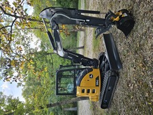
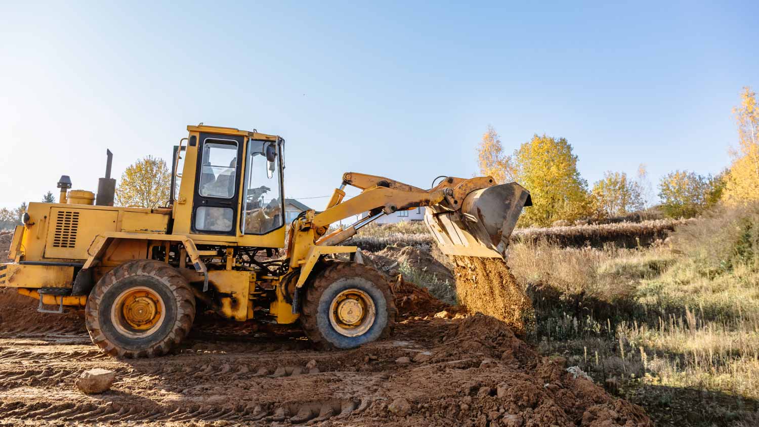
"Tanner did an awesome job cleaning and clearing out all of the old bushes and trees and a falling down garage on our rental property! Very happy with how it turned out! Thank you!"
"Even with the delay with some machinery and waiting on the weather to cooperate, Mr Byassee was on the ball to explain the process and risks of paving without the machine that needed repair. He explained the whole process and did an excellent job. I will by hiring him again to seal the driveway next year, too. My wife is very excited about the driveway."
Hello everyone! My name is Randy Harper, and I?m proud to introduce my business, Harper?s Contracting LLC!
\n
\nWe are a locally owned and operated business serving Western Kentucky and surrounding areas. Our goal is to provide dependable, affordable, and quality work while building lasting relationships with our customers.
\n
\nOur services include:
\n
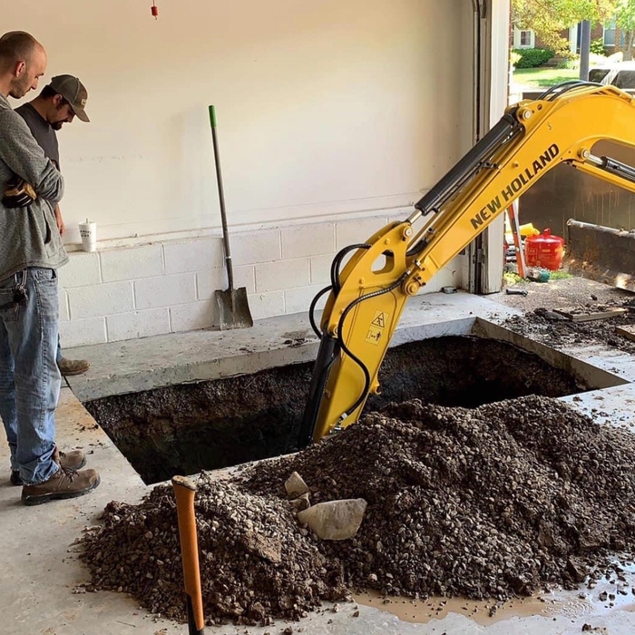
\n* Land clearing and property cleanup
\n* Excavation and dirt work
\n* Driveway installation
\n* Heavy equipment services
\n
\nWhether you?re looking to clean up an overgrown property, prepare land for a new project, install a driveway, or tackle another outdoor project, we?re here to help!
We are a locally owned and operated company that values honesty and integrity and treats your home as if it were our own. We offer a variety of General Contractor services that are customizable to each individual project. You will find us to be competitively priced, paying close attention to the details of each and every project that we are involved with. We look forward to building lasting relationships and guarantee your satisfaction!
\n
There are a couple of ways you can determine the depth of your well. One method is to use a device called a well sounder. This tool has a long measuring tape containing a sensor to alert you once the end reaches the water.
Or you can DIY it by using a long tape measure with a half-filled bottle of water attached to it. Lower the tape measure into your well. Once you feel tension on the tape, you’ll know the bottle has reached your static water level. This will give you an approximate idea of your well’s depth.
Depending on the type of land survey, the report will mark the boundaries of your property, the topographical changes of the landscape, as well as major natural and added structures to the plot. A more detailed survey, like an as-built survey, will note the measurements of the structures and landscape following major construction. A topographic survey will also help your contractor determine the cost of land development projects.
Land survey reports have a boatload of information relevant to several scenarios. Here are the types of information contained with a survey, though it depends on your chosen type of land survey. Exact boundaries and dimensions of a given property General topography, including both natural and artificial landmarks Location of utility fixtures, like water mains Confirmation of any easements or encroachments on a piece of property Assessment of land elevation to buy flood insurance Updated information to add to a pre-existing property map
A land survey includes the layout of a single property, including precise measurements and to-scale drawings of boundary lines, land improvements, and sometimes other features, like topography and drainage information. A plat map includes the layouts and boundary lines of several adjacent plots and basic structure measurements. Surveys are normally more valuable for homeowners and buyers, and plat maps are for governmental use.
Professional well contractors may use electromagnetic mapping to look for places with a high likelihood of water. Water access can vary significantly, even on the same property, so it can be difficult to know where to drill if you don’t have specialized tools to look for water.
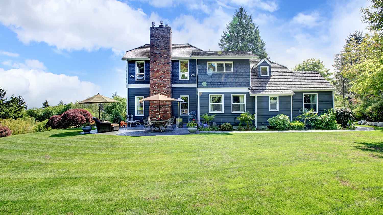
The Wickliffe, KY homeowners’ guide to land clearing services
From average costs to expert advice, get all the answers you need to get your job done.