


Top-rated land clearing pros.

Get matched with top land clearing pros in Benton, MO

Enter your zip and get matched with up to 5 pros

Need a pro for your land clearing project in Benton, MO?

Select your specific project to find the pro for you.

TRUSTED BY BENTON, MO HOMEOWNERS

  • Average homeowner rating star icon4.1
    Average homeowner rating
  • Verified reviews icon23
    Verified land clearing services reviews

Find Land clearing pros in Benton

DOTY CONSTRUCTION & EXCAVATION LLC
New to Angi

Serving Benton, MO and surrounding areas

Approved

In business since 2022

Free estimates

Credit card accepted

We take great pride in our experience, expertise, quality and customer service that we provide to meet every consumer's needs.\nIt is our mission to provide excellent customer service from start to completion of a project.\nTo understand the needs and expectations of our customers, we take great care to work and communicate with every customer in a personal and professional manner.\nOur reputation is based on service, safety and quality, regardless of how large or small the job.\n

Avatar for DTR Farms LLC
DTR Farms LLC
5.0(
12
)

Serving Benton, MO and surrounding areas

In business since 2019

Free estimates

Offers commercial services

"Darin responded to my inquiry quickly and was able to complete the job very quickly with clear understanding of the issue and was able to communicate with me about the process."
walk around
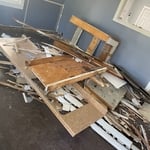
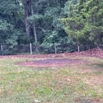
before photo
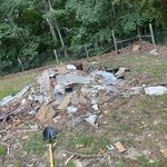
during the clean out
after cleaning
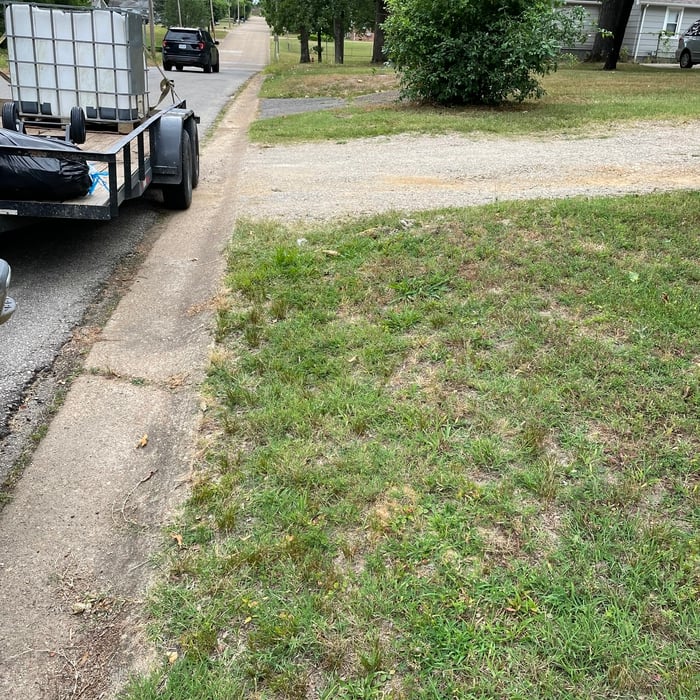
after photo

+37

Response time3 days
Recommended by100%of homeowners
Showing 1-10 of 28
Land Clearing Services questions, answered by experts

A land survey includes the layout of a single property, including precise measurements and to-scale drawings of boundary lines, land improvements, and sometimes other features, like topography and drainage information. A plat map includes the layouts and boundary lines of several adjacent plots and basic structure measurements. Surveys are normally more valuable for homeowners and buyers, and plat maps are for governmental use.

The small lines on the tape measure either indicate inches, fractions of an inch, or centimeters and millimeters. On the imperial unit side (aka the inches side), the longest lines indicate inches, followed by the next shortest lines that indicate a half-inch, and then the quarter, eighth, and sixteenth-inch. On the metric side, the lines break down meters, centimeters, and millimeters.

A land survey defines and records the physical aspects of a property, including its boundaries, dimensions, easements, features, and sometimes topographical information. In contrast, a land appraisal determines the property's monetary value. While an appraiser will often consult a land survey to understand the property's physical specifications, the survey itself does not determine the land's value.

Depending on the type of land survey, the report will mark the boundaries of your property, the topographical changes of the landscape, as well as major natural and added structures to the plot. A more detailed survey, like an as-built survey, will note the measurements of the structures and landscape following major construction. A topographic survey will also help your contractor determine the cost of land development projects.

If a buyer pays for a survey, the surveyor they hired will only provide results to them. It’s up to the buyer whether they share the survey results with the seller or not, even if they ultimately walk away from the deal. It’s considered good faith to share the results with the seller, though, especially if you back out of the deal, as the seller can then provide that survey to future interested parties.

The Benton, MO homeowners’ guide to land clearing services

From average costs to expert advice, get all the answers you need to get your job done.