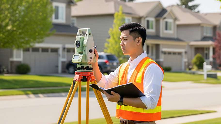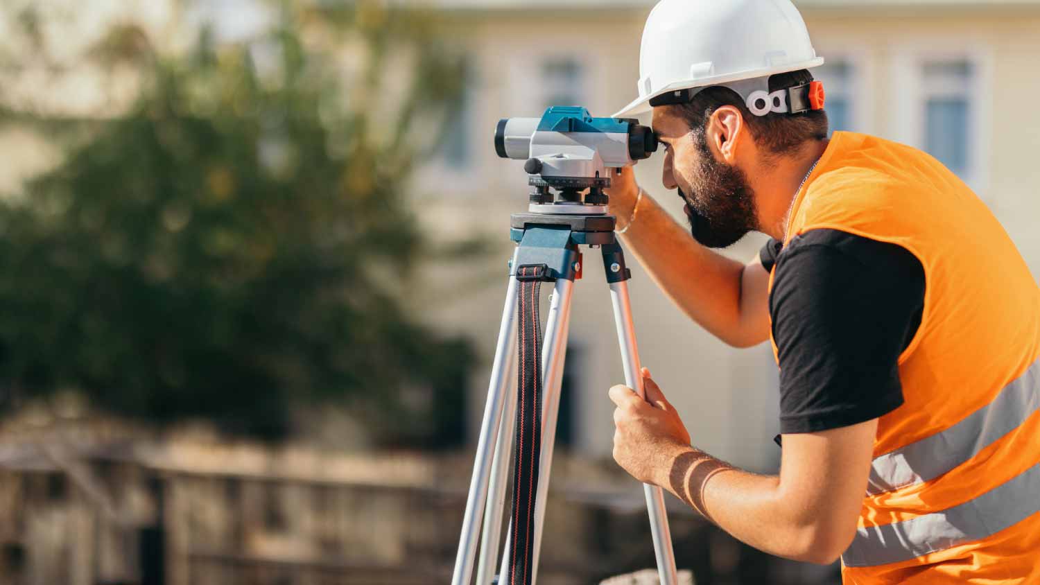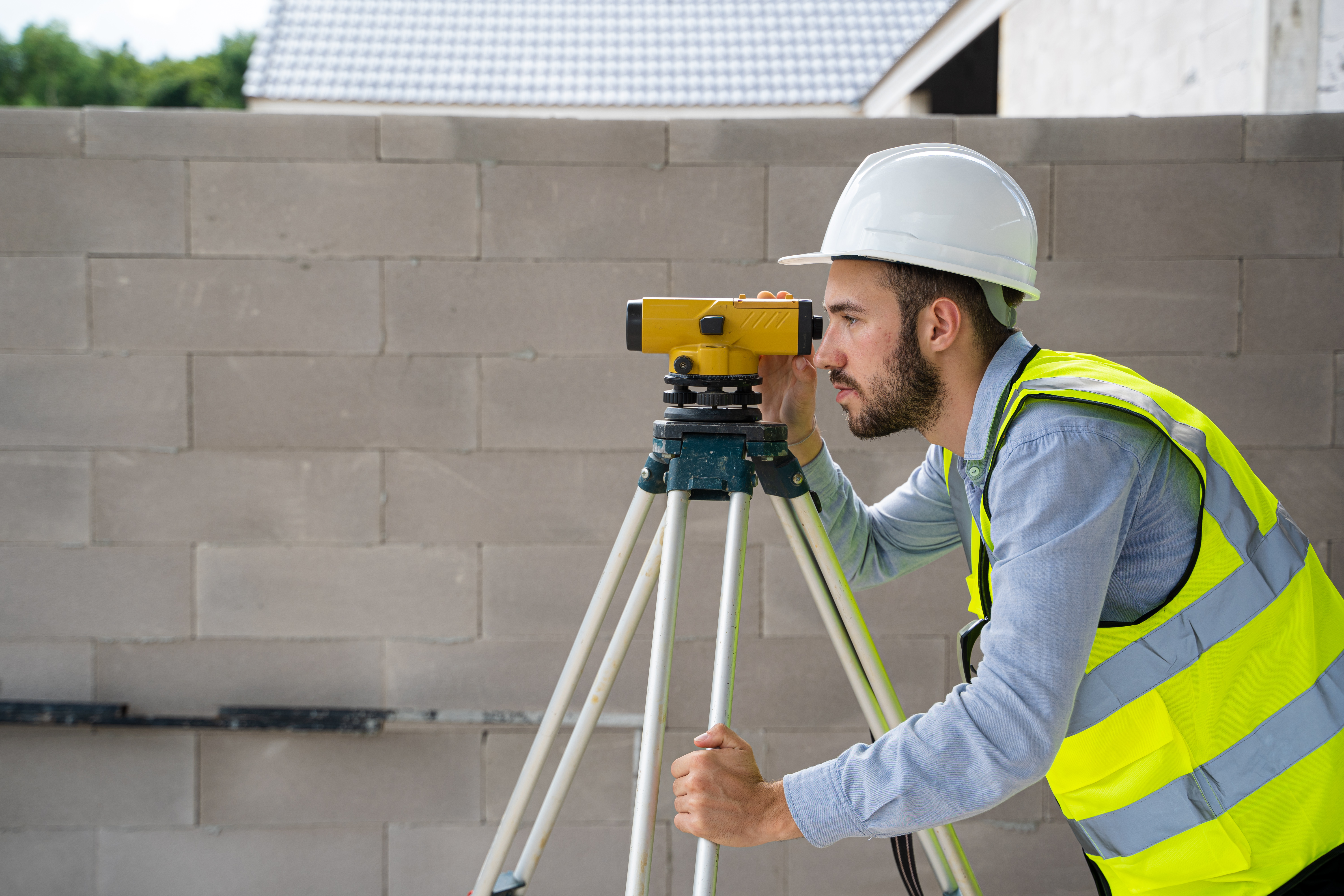

Top-rated land surveyors.

Best land surveyors near Pace, FL

Enter your zip and get matched with up to 5 pros

Need a pro for your land surveying project in Pace, FL?

Select your specific project to find the pro for you.

Top-Rated Land surveyors in Pace - Updated Nov 2026

Barrett Land Surveying
New to Angi
Land Surveyor

Serving Pace, FL and surrounding areas

In business since 2024

Free estimates

Credit card accepted

Barrett Land Surveying is committed to excellence every aspect of our business. We uphold a standard of integrity bound by fairness, honesty and personal responsibility. Our distinction is the quality of service we bring to our customers. Accurate knowledge of our trade, combined with our ability, is what makes us true professionals. Above all, we are watchful of our customers' interests and make their concerns the basis of our business.

Land Surveying FAQs, answered by experts

With proper training and experience, reading blueprints is fairly straightforward and not very difficult. If you don’t have the necessary knowledge to interpret the symbols, abbreviations, and other notations used, blueprints may not make sense. Learning to read blueprints can help you understand the construction process and keep you more involved and informed when you’re building a house.

Building a road on a slope requires careful planning and will normally require a drainage system underneath to prevent flooding and damage to the road over time. Your professional may lengthen your road to create switchbacks if the slope directly to your home is too steep, as there are regulations for maximum road slope. The drainage system will help prevent runoff from the higher side of the slope from damaging the asphalt or concrete. Keep in mind that building a road on a slope isn’t a good DIY project, as a lot can go wrong.

Professional well contractors may use electromagnetic mapping to look for places with a high likelihood of water. Water access can vary significantly, even on the same property, so it can be difficult to know where to drill if you don’t have specialized tools to look for water.

A land survey includes the layout of a single property, including precise measurements and to-scale drawings of boundary lines, land improvements, and sometimes other features, like topography and drainage information. A plat map includes the layouts and boundary lines of several adjacent plots and basic structure measurements. Surveys are normally more valuable for homeowners and buyers, and plat maps are for governmental use.

Surveys completed by licensed surveyors can be recorded with a local surveying records office, and in most cases, they will be. Filing survey reports categorize them as legal documents, and they can be used whenever legal documentation of your property’s boundaries is needed. While you’re not required to file survey documents, it’s a good idea to do so. 

The Pace, FL homeowners’ guide to land surveying services

From average costs to expert advice, get all the answers you need to get your job done.