
Get matched with top land surveyors in Ranson, WV
Enter your ZIP and get matched with up to 5 pros
Need a pro for your land surveying project in Ranson, WV?
Select your specific project to find the pro for you.
Verified Reviews for Land Surveying pros in Ranson, WV
*The Angi rating for Land Surveying companies in Ranson, WV is a rating based on verified reviews from our community of homeowners who have used these pros to meet their Land Surveying needs.
*The HomeAdvisor rating for Land Surveying companies in Ranson, WV is a rating based on verified reviews from our community of homeowners who have used these pros to meet their Land Surveying needs.
Last update on December 05, 2025

Find Land surveyors in Ranson
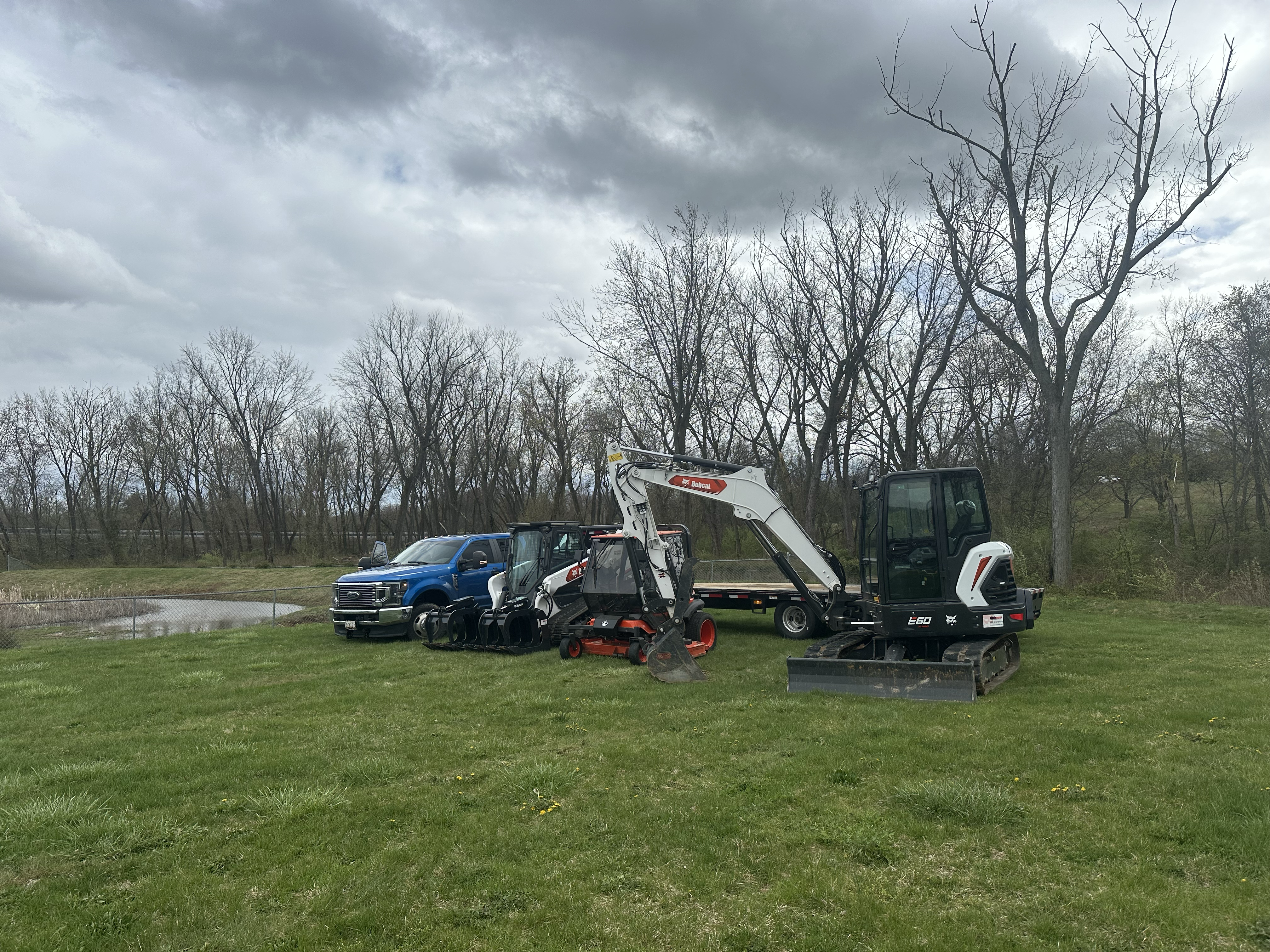
Diamonds Excavating
Diamonds Excavating
Customers say: Quick response
Recommended by 100% of Angi customers
Recommended by 100% of HomeAdvisor customers
Diamonds Excavating is dedicated to providing professional excavation services for a variety of projects, including residential, commercial, and industrial developments. Unlike the competition, we keep it clean and organized throughout the whole process we only do top quality work. With a team of skilled professionals, we deliver superior results in site preparation, Excavation/landscaping Land Clearing Demolition Driveways/pads Snow removal Grading Tree removal Inground pools Digging for water /electric lines Driveway/roadway removal Junk removal Retaining walls Rock and debris removal/hauling Ditching and drainage And More! Our commitment to safety, efficiency, and quality ensures that every job is completed to the highest standards. Contact us today to discuss your excavation needs and let us help you bring your project to life.
"Very punctual and went over and beyond expectations when encountered the unexpected."
Suman R on May 2024
Pathfinder Land Surveying LLC
Pathfinder Land Surveying LLC
Free onsite estimate
At Pathfinder Land Surveying, our mission is to provide a superior service to the public by striving to be the industry's most accurate, efficient, and reliable land surveying company.
At Pathfinder Land Surveying, our mission is to provide a superior service to the public by striving to be the industry's most accurate, efficient, and reliable land surveying company.
Rinker Design Associates, P.C.
Rinker Design Associates, P.C.
43 years of experience
Transportation/Utility Design, Traffic, Land Development and Planning, Surveying, Right-of-way Acquisition, Environmental, Construction Engineering and Inspection, Structural, Litigation Support
Transportation/Utility Design, Traffic, Land Development and Planning, Surveying, Right-of-way Acquisition, Environmental, Construction Engineering and Inspection, Structural, Litigation Support

Sustainable Solutions LLC
Sustainable Solutions LLC
23 years of experience
Natural Resource Management
Natural Resource Management
Land Surveying questions, answered by experts
The Ranson, WV homeowners’ guide to land surveying services
From average costs to expert advice, get all the answers you need to get your job done.
 •
•Discover site preparation cost estimates, including average prices, cost factors, and tips to help homeowners budget for their next project.

A land survey can determine your property’s borders and settle property disputes. Learn how much a land survey costs and what can affect the price.

Just bought a plot of land and need to get it build-ready? Learn how much it costs to clear land to gauge your initial budget before you break ground.
 •
•Find out how much an elevation certificate costs, including average prices, cost factors, and tips to save money when hiring a surveyor for your property.

Not sure what kind of property survey you need? Learn about the differences between a land survey vs. a boundary survey to get started.

Wondering whether you need a land survey or a plot plan? Learn about the differences between the two, when to do each, and what information they provide.
- Bolivar, WV Land surveyors
- Bunker Hill, WV Land surveyors
- Inwood, WV Land surveyors
- Knoxville, MD Land surveyors
- Sharpsburg, MD Land surveyors
- Brunswick, MD Land surveyors
- Lovettsville, VA Land surveyors
- Berryville, VA Land surveyors
- Martinsburg, WV Land surveyors
- Round Hill, VA Land surveyors
- Hillsboro, VA Land surveyors
- Clear Brook, VA Land surveyors
- Purcellville, VA Land surveyors
- Keedysville, MD Land surveyors
- Waterford, VA Land surveyors
- Stephenson, VA Land surveyors
- Bluemont, VA Land surveyors
- Gerrardstown, WV Land surveyors
- Hamilton, VA Land surveyors
- Jefferson, MD Land surveyors
- Paeonian Springs, VA Land surveyors
- Point Of Rocks, MD Land surveyors
- Fairplay, MD Land surveyors
- Winchester, VA Land surveyors
- Tree Service in Ranson
- Plumbing in Ranson
- Roofing in Ranson
- Moving in Ranson
- Kitchen And Bath Remodeling in Ranson
- Pressure Washing in Ranson
- Deck Maintenance in Ranson
- Landscaping in Ranson
- Electrical in Ranson
- Flooring in Ranson
- Doors in Ranson
- Lawn And Yard Work in Ranson
- Garbage Collection in Ranson
- Mailbox Repair in Ranson
- Garage Doors in Ranson
- Windows in Ranson
- Cleaning in Ranson
- Stone And Gravel in Ranson
- Painting in Ranson
- Swimming Pools in Ranson
- Drywall in Ranson
- Handyman Service in Ranson
- Ceiling Fans in Ranson
- Home Inspection in Ranson
- Epoxy Flooring in Ranson
- Gutter Cleaning in Ranson
- Gas Leak Repair in Ranson
- Pest Control in Ranson
- Locksmiths in Ranson
- Mold Testing And Remediation in Ranson
What do you need done? We’ll find top pros.
- 🌱 "Mow a small front yard"
- 🛠 "Fix a leaking pipe under the sink"
- 🏠 "Repair shingles on an asphalt roof"