Get matched with top land surveyors in Rib Mountain, WI
Enter your ZIP and get matched with up to 5 pros
Need a pro for your land surveying project in Rib Mountain, WI?
Verified Reviews for Land Surveying pros in Rib Mountain, WI
*The Angi rating for Land Surveying companies in Rib Mountain, WI is a rating based on verified reviews from our community of homeowners who have used these pros to meet their Land Surveying needs.
*The HomeAdvisor rating for Land Surveying companies in Rib Mountain, WI is a rating based on verified reviews from our community of homeowners who have used these pros to meet their Land Surveying needs.
Last update on December 08, 2025
Find Land surveyors in Rib Mountain

Riverside Land Surveying, LLC
Riverside Land Surveying, LLC
Our vision was to create a unique firm in which clients benefit from technical expertise and long-term value and business referral sources are well served through our unwavering commitment to the success of their businesses. The Partners of Riverside Land Surveying, LLC, guided by a strong work ethic, established this firm with a clear foundation: values, purpose, and competency. We strive to be a trusted advisor to our clients in a variety of practice areas that includes public infrastructure, land planning, boundary resolution, and residential and commercial development. We bring a comprehensive understanding of our client's goals to the table along.
"Sam has been very responsive. We are still having him complete phase 2 of our project."
Cynthia W on February 2021
Quest Civil Engineers, LLC
Quest Civil Engineers, LLC
Quest Civil Engineers, LLC is a WBE certified consulting engineer in firm, Providing a full range of professional services through the state of Wisconsin, with offices Located in Wisconsin Rapids, rice lake, and Green Bay as well as employees throughout the state. Quest employees a highly motivated group of professionals that include professional engineers, engineering specialist, professional land surveyors, Environmental specialist, materials specialist, engineering technicians, and drafting technicians. Our diverse and talented staff creates a close working environment, of which, we consider our clients to be an integral part.
Quest Civil Engineers, LLC is a WBE certified consulting engineer in firm, Providing a full range of professional services through the state of Wisconsin, with offices Located in Wisconsin Rapids, rice lake, and Green Bay as well as employees throughout the state. Quest employees a highly motivated group of professionals that include professional engineers, engineering specialist, professional land surveyors, Environmental specialist, materials specialist, engineering technicians, and drafting technicians. Our diverse and talented staff creates a close working environment, of which, we consider our clients to be an integral part.

Gaulke Drone Services
Gaulke Drone Services
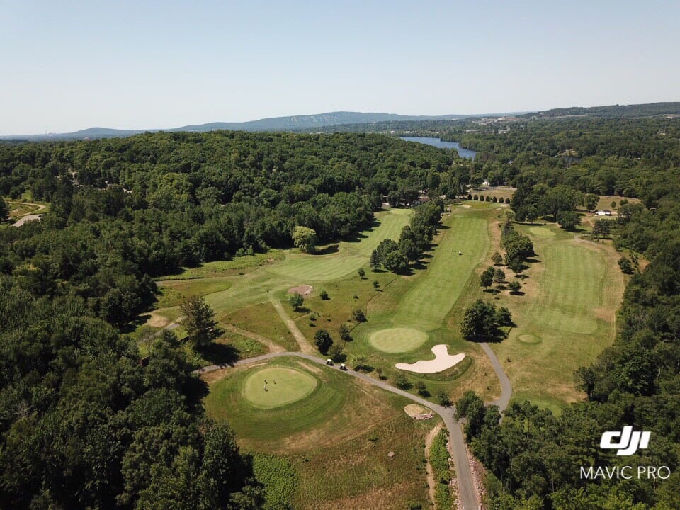
FAA licensed drone operator providing affordable, professional, and responsible aerial photography/videography for Madison area business needs. This service is well suited for roof and tower inspections, real estate ads, wedding photography/video, private property surveillance, and more. Pricing is determined by intended use, desired product, and location. Please do not hesitate to contact me to learn more about pricing, capabilities, and limitations.
FAA licensed drone operator providing affordable, professional, and responsible aerial photography/videography for Madison area business needs. This service is well suited for roof and tower inspections, real estate ads, wedding photography/video, private property surveillance, and more. Pricing is determined by intended use, desired product, and location. Please do not hesitate to contact me to learn more about pricing, capabilities, and limitations.
Northcentral Land Surveying, LLC
Northcentral Land Surveying, LLC
Boundary Surveys Land Divisions Elevation Surveys Fence Surveys GPS
Boundary Surveys Land Divisions Elevation Surveys Fence Surveys GPS
Wagner Surveying Associates Inc
Wagner Surveying Associates Inc
We have over 40 years of experience providing accurate land survey and mapping data. We are fully licensed and certified with state and national land surveying organizations and can provide boundary and elevation data for construction, real estate, flood certifications, and much more. If you need land surveyors you can truly rely on, call Wagner Surveying Associates today!
We have over 40 years of experience providing accurate land survey and mapping data. We are fully licensed and certified with state and national land surveying organizations and can provide boundary and elevation data for construction, real estate, flood certifications, and much more. If you need land surveyors you can truly rely on, call Wagner Surveying Associates today!
North Coast Surveying
North Coast Surveying
We are a full service Land Surveying firm. Also providing Marine Surveying and Crash Reconstruction services.
We are a full service Land Surveying firm. Also providing Marine Surveying and Crash Reconstruction services.
A.R. Jones Land Surveying
A.R. Jones Land Surveying
A.R. Jones opened its doors in 2006 in Rhinelander, Wisconsin and has been serving Northern and Central Wisconsin since. We use modern surveying equipment, AutoCadd drafting software and offer a wide variety of services.
A.R. Jones opened its doors in 2006 in Rhinelander, Wisconsin and has been serving Northern and Central Wisconsin since. We use modern surveying equipment, AutoCadd drafting software and offer a wide variety of services.
Riverside Land Surveying LLC
Riverside Land Surveying LLC
Locally owned and operated. Keith J. Walkowski (715) 675-6767.
Locally owned and operated. Keith J. Walkowski (715) 675-6767.
The Rib Mountain, WI homeowners’ guide to land surveying services
From average costs to expert advice, get all the answers you need to get your job done.
 •
•Discover site preparation cost estimates, including average prices, cost factors, and tips to help homeowners budget for their next project.

A land survey can determine your property’s borders and settle property disputes. Learn how much a land survey costs and what can affect the price.

Just bought a plot of land and need to get it build-ready? Learn how much it costs to clear land to gauge your initial budget before you break ground.

Boundary surveys and topographic surveys provide important information about a property. Learn the differences between boundary and topographic surveys.

If you've just been told that you need a land survey to continue your project, what time of land survey do you really need? Here are eight main options.

Real estate transactions often require a survey, but who pays for it? Learn who pays for a land survey in most cases and some exceptions to the norm.
- Weston, WI Land surveyors
- Schofield, WI Land surveyors
- Maine, WI Land surveyors
- Marathon, WI Land surveyors
- Mosinee, WI Land surveyors
- Kronenwetter, WI Land surveyors
- Ringle, WI Land surveyors
- Merrill, WI Land surveyors
- Edgar, WI Land surveyors
- Aniwa, WI Land surveyors
- Athens, WI Land surveyors
- Birnamwood, WI Land surveyors
- Stratford, WI Land surveyors
- Wittenberg, WI Land surveyors
- Antigo, WI Land surveyors
- Hewitt, WI Land surveyors
- Deerbrook, WI Land surveyors
- Gleason, WI Land surveyors
- Abbotsford, WI Land surveyors
- Colby, WI Land surveyors
- Dorchester, WI Land surveyors
- Roofing in Rib Mountain
- Plumbing in Rib Mountain
- Tree Service in Rib Mountain
- Kitchen And Bath Remodeling in Rib Mountain
- Electrical in Rib Mountain
- Landscaping in Rib Mountain
- Siding in Rib Mountain
- Lawn And Yard Work in Rib Mountain
- Windows in Rib Mountain
- Pest Control in Rib Mountain
- Garage Doors in Rib Mountain
- Flooring in Rib Mountain
- Cleaning in Rib Mountain
- Garbage Collection in Rib Mountain
- Foundation Repair in Rib Mountain
- Pressure Washing in Rib Mountain
- Exterior Painting in Rib Mountain
- Concrete Repair in Rib Mountain
- Air Duct Cleaning in Rib Mountain
- Insulation in Rib Mountain
- Gutter Cleaning in Rib Mountain
- Handyman Service in Rib Mountain
- Epoxy Flooring in Rib Mountain
- Doors in Rib Mountain
- Driveways in Rib Mountain
- Moving in Rib Mountain
- Remodeling Basements in Rib Mountain
- Basement Waterproofing in Rib Mountain
- Leaf Removal in Rib Mountain
- Swimming Pools in Rib Mountain
- 🌱 "Mow a small front yard"
- 🛠 "Fix a leaking pipe under the sink"
- 🏠 "Repair shingles on an asphalt roof"


