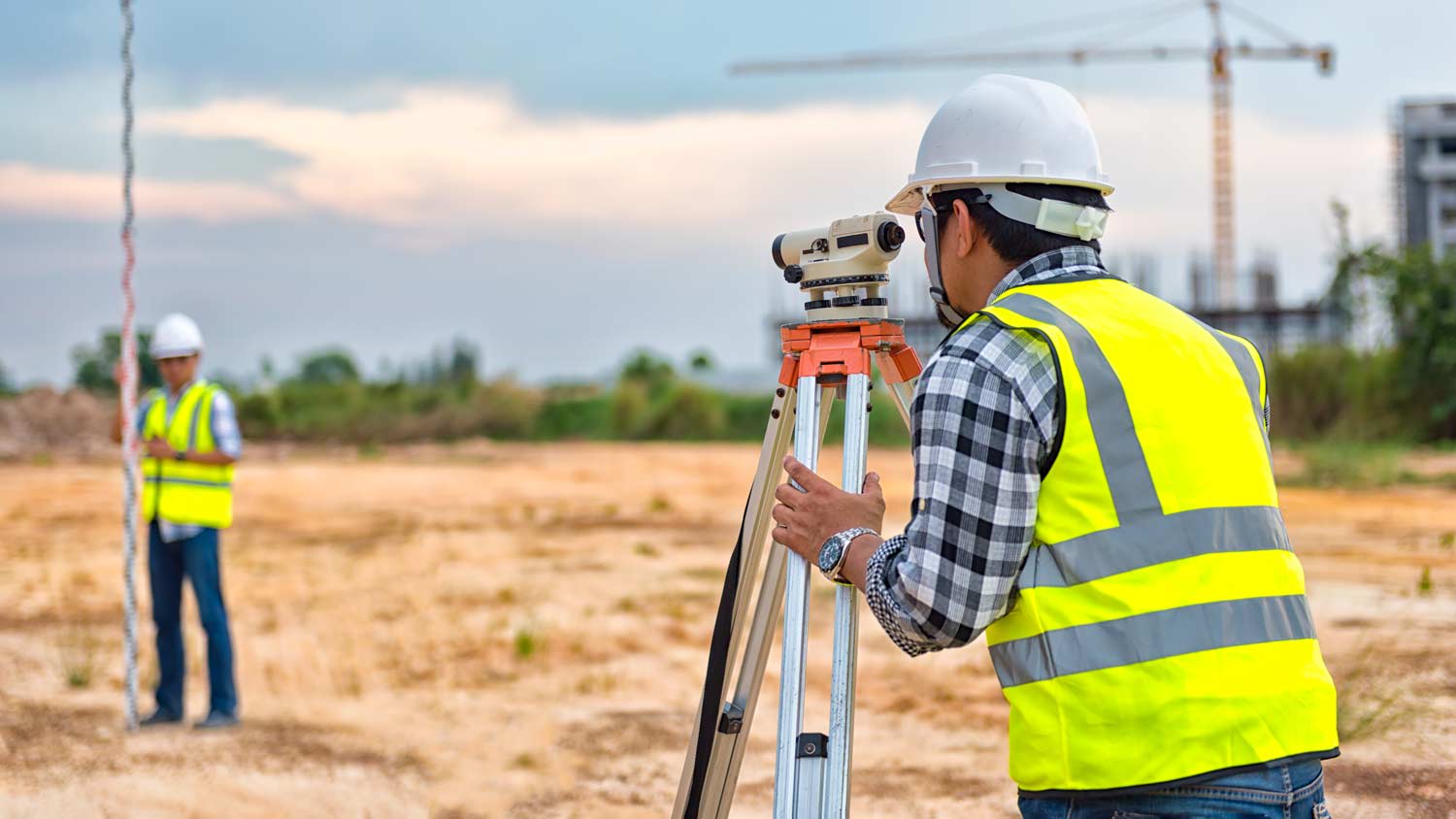


Our vision was to create a unique firm in which clients benefit from technical expertise and long-term value and business referral sources are well served through our unwavering commitment to the success of their businesses. The Partners of Riverside Land Surveying, LLC, guided by a strong work ethic, established this firm with a clear foundation: values, purpose, and competency. We strive to be a trusted advisor to our clients in a variety of practice areas that includes public infrastructure, land planning, boundary resolution, and residential and commercial development. We bring a comprehensive understanding of our client's goals to the table along.

Property lines, building locations, and potential encroachments are mapped.
A few different types of land surveys can help determine certain features and boundaries of your property. These include:
Boundary surveys describe the actual borders of a property. These are generally required when trying to get construction permits issued.
Location surveys provide much of the same information as a boundary survey but also include in-depth information about any improvements made to your property.
Mortgage location surveys are usually required by lenders and title companies before financing or offering an insurance policy.
Site-planning surveys are done before applying for building permits and can be issued before any major home improvements.
Topographic surveys provide a formal map of land elevations. It can also describe the location and size of natural features and any land improvements.
Building a road on a slope requires careful planning and will normally require a drainage system underneath to prevent flooding and damage to the road over time. Your professional may lengthen your road to create switchbacks if the slope directly to your home is too steep, as there are regulations for maximum road slope. The drainage system will help prevent runoff from the higher side of the slope from damaging the asphalt or concrete. Keep in mind that building a road on a slope isn’t a good DIY project, as a lot can go wrong.
A land survey provides precise property boundaries, reveals legal encroachments, and identifies rights-of-way, minimizing disputes. Understanding the exact dimensions and features of the property aids in informed decision-making and safeguards the buyer's investment.
There are a couple of ways you can determine the depth of your well. One method is to use a device called a well sounder. This tool has a long measuring tape containing a sensor to alert you once the end reaches the water.
Or you can DIY it by using a long tape measure with a half-filled bottle of water attached to it. Lower the tape measure into your well. Once you feel tension on the tape, you’ll know the bottle has reached your static water level. This will give you an approximate idea of your well’s depth.
The Aniwa, WI homeowners’ guide to land surveying services
From average costs to expert advice, get all the answers you need to get your job done.
Find out how much an elevation certificate costs, including average prices, cost factors, and tips to save money when hiring a surveyor for your property.
Planning to build a fence or home addition? Learn about land surveying costs, property boundaries, and how to hire the right local pro for your project.
If you've just been told that you need a land survey to continue your project, what time of land survey do you really need? Here are eight main options.