




Top-rated land clearing pros.

Get matched with top land clearing pros in Conestee, SC

Enter your zip and get matched with up to 5 pros

Need a pro for your land clearing project in Conestee, SC?

Select your specific project to find the pro for you.

TRUSTED BY CONESTEE, SC HOMEOWNERS

  • Average homeowner rating star icon4.6
    Average homeowner rating
  • Verified reviews icon1.2k+
    Verified land clearing services reviews

Find Land clearing pros in Conestee

Avatar for Too Tall Grading
Too Tall Grading
4.8(
27
)
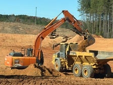
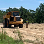
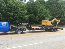
Building Site - Preparation and ClearingBuilding Site - Preparation and Clearing - For Business

Serving Conestee, SC and surrounding areas

Approved

In business since 2001

Free estimates

Small jobs welcome

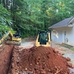
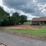
"Ed was the first person to reply to any of my inquiries. He showed up quickly to assess the job and provide an estimate. He kept me informed as the schedule changed due to weather. He finished a great job today. He is friendly, professional, and honest. And he does great work."
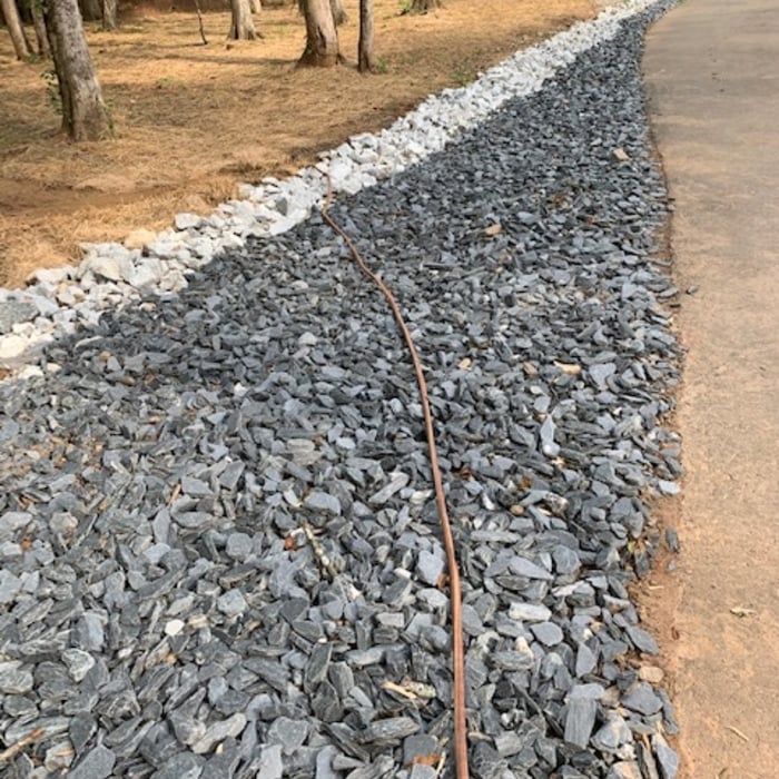
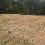
Before
Before
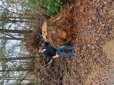
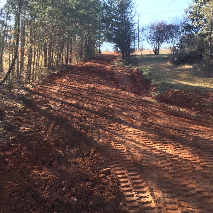
After
After
After

+3

Response time3 hrs
Recommended by96%of homeowners
...
Showing 1-10 of 104
Land Clearing Services questions, answered by experts

ALTA/ACSM surveys are the most comprehensive type of land survey and, as such, tend to be the most expensive. These surveys have standardized guidelines and reports and are used in many kinds of real estate transactions to ensure consistent and accurate information is available for properties.

You will find a collection of licensed land surveyors in your area. Your real estate agent or construction manager may also be able to recommend a trusted professional. When speaking with prospective pros in your area, ask the land surveyor if they are licensed in the state, have liability insurance, and can quote you a fee before starting.

There are a couple of ways you can determine the depth of your well. One method is to use a device called a well sounder. This tool has a long measuring tape containing a sensor to alert you once the end reaches the water. 

Or you can DIY it by using a long tape measure with a half-filled bottle of water attached to it. Lower the tape measure into your well. Once you feel tension on the tape, you’ll know the bottle has reached your static water level. This will give you an approximate idea of your well’s depth.

Permit requirements to clear land vary by municipality, so whether or not you need permits depends on where you live and what you’re removing from the land. Some building departments will require permits for any underground work or excavation, meaning grinding down tree stumps on your property would require permits. Others mandate individual permits for each tree you remove. You can contact your local building department or a land-clearing specialist near you to see if permits are necessary for your job.

A few different types of land surveys can help determine certain features and boundaries of your property. These include:

  • Boundary surveys describe the actual borders of a property. These are generally required when trying to get construction permits issued. 

  • Location surveys provide much of the same information as a boundary survey but also include in-depth information about any improvements made to your property. 

  • Mortgage location surveys are usually required by lenders and title companies before financing or offering an insurance policy. 

  • Site-planning surveys are done before applying for building permits and can be issued before any major home improvements. 

  • Topographic surveys provide a formal map of land elevations. It can also describe the location and size of natural features and any land improvements.

The Conestee, SC homeowners’ guide to land clearing services

From average costs to expert advice, get all the answers you need to get your job done.