
Get matched with top land surveyors in Laurys Station, PA
Enter your ZIP and get matched with up to 5 pros
Need a pro for your land surveying project in Laurys Station, PA?
Select your specific project to find the pro for you.
TRUSTED BY LAURYS STATION, PA HOMEOWNERS
 4.1 Average homeowner rating
 14 Verified land surveying services reviews
Verified Reviews for Land Surveying pros in Laurys Station, PA
*The Angi rating for Land Surveying companies in Laurys Station, PA is a rating based on verified reviews from our community of homeowners who have used these pros to meet their Land Surveying needs.
*The HomeAdvisor rating for Land Surveying companies in Laurys Station, PA is a rating based on verified reviews from our community of homeowners who have used these pros to meet their Land Surveying needs.
Last update on November 24, 2025


Find Land surveyors in Laurys Station
Thomas Kolesa, PLS
Thomas Kolesa, PLS
14 years of experience
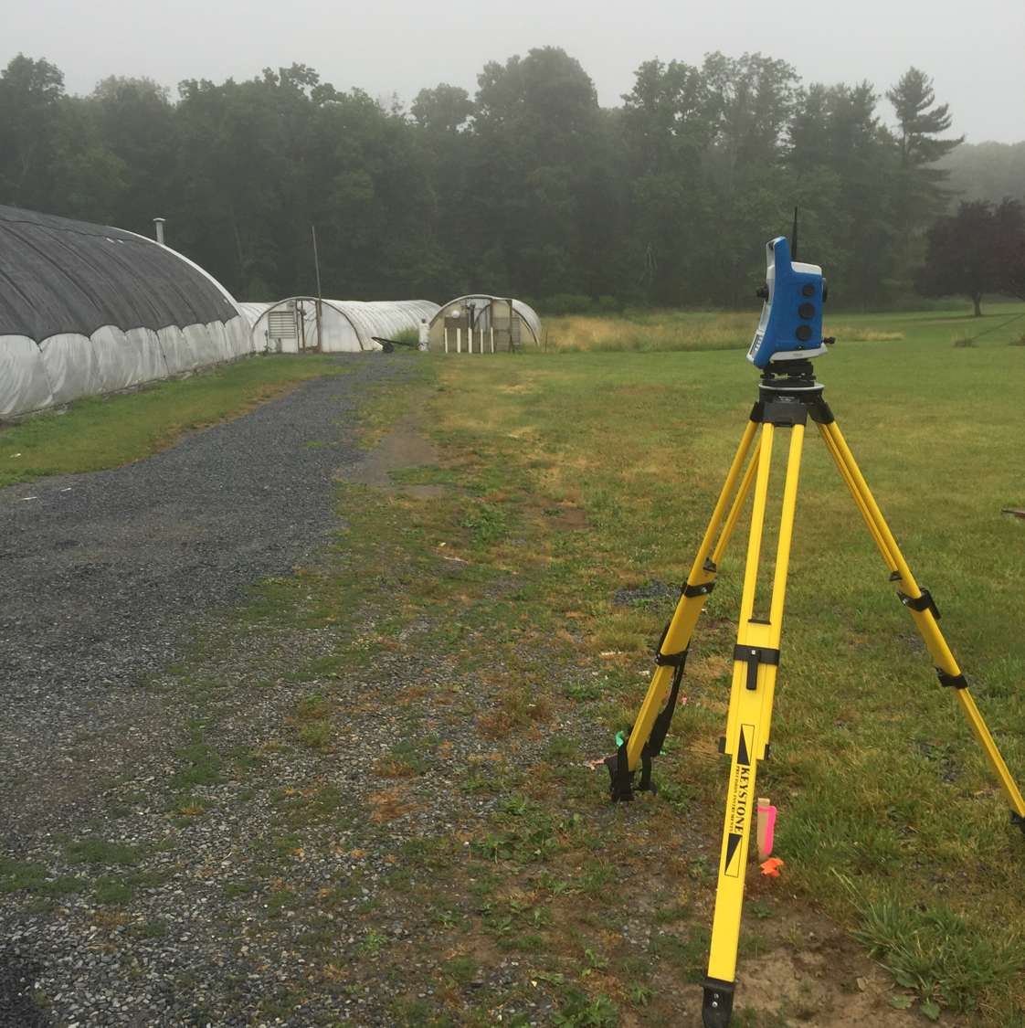
Professional Land Surveying Services that includes Boundary Surveys, Topographic Surveys, ALTA/ACSM Surveys, Aerial Surveys, Subdivisions, Elevation Certificates, Construction Layout and As-Built Surveys. Over 25 years of professional experience. Utilizing the latest equipment and technology to get your project completed.
Professional Land Surveying Services that includes Boundary Surveys, Topographic Surveys, ALTA/ACSM Surveys, Aerial Surveys, Subdivisions, Elevation Certificates, Construction Layout and As-Built Surveys. Over 25 years of professional experience. Utilizing the latest equipment and technology to get your project completed.
Keystone Consulting Engineers, Inc.
Keystone Consulting Engineers, Inc.
53 years of experience
We are committed to delivering the most creative and highest quality civil engineering and surveying services in a timely manner with the greatest value to our clients. Our firm represents many municipalities in the Greater Lehigh Valley and Pocono Regions. Our personnel regularly provide engineering services to the municipalities we now serve and, therefore, we feel that we are well qualified to serve you in this same capacity. These services include, but are not necessarily limited to inspection; roadway, bridges, storm sewer, sanitary sewer and water system design; sewage enforcement officer services; postal address systems; subdivision and zoning ordinance technical revisions; traffic studies; roadway improvement programs; Wetland delineation / Phase I Environmental Site Assessments and sewer system infiltration/inflow removal programs.
We are committed to delivering the most creative and highest quality civil engineering and surveying services in a timely manner with the greatest value to our clients. Our firm represents many municipalities in the Greater Lehigh Valley and Pocono Regions. Our personnel regularly provide engineering services to the municipalities we now serve and, therefore, we feel that we are well qualified to serve you in this same capacity. These services include, but are not necessarily limited to inspection; roadway, bridges, storm sewer, sanitary sewer and water system design; sewage enforcement officer services; postal address systems; subdivision and zoning ordinance technical revisions; traffic studies; roadway improvement programs; Wetland delineation / Phase I Environmental Site Assessments and sewer system infiltration/inflow removal programs.
Cowan Associates
Cowan Associates
67 years of experience
Cowan Associates is one of the oldest full-service civil engineering firms in the Region. We have been providing multi-disciplinary engineering and technical services to our clients since 1958. CAI has designed many specialty and challenging land developments and facilities over the last fifty years. We cover assignments locally and throughout the Eastern United States.
Cowan Associates is one of the oldest full-service civil engineering firms in the Region. We have been providing multi-disciplinary engineering and technical services to our clients since 1958. CAI has designed many specialty and challenging land developments and facilities over the last fifty years. We cover assignments locally and throughout the Eastern United States.

Impact Engineering Group
Impact Engineering Group
12 years of experience
Impact Engineering Group is a civil engineering firm that specializes in services and consulting relating to real estate, construction, land planning, surveying, site permitting and structural engineering.
Impact Engineering Group is a civil engineering firm that specializes in services and consulting relating to real estate, construction, land planning, surveying, site permitting and structural engineering.

McCarthy Engineering Associates, Inc.
McCarthy Engineering Associates, Inc.
25 years of experience
McCarthy Engineering Associates offers clients a knowledgeable and determined team, complemented by the highest level of service and the utmost attention to quality.
McCarthy Engineering Associates offers clients a knowledgeable and determined team, complemented by the highest level of service and the utmost attention to quality.
Acoterra, LLC
Acoterra, LLC
19 years of experience
Acoterra, LLC is a full service landscape contracting company in Eastern Pennsylvania servicing our customers since 2006. Our knowledgeable staff has the experience to create and maintain sustainable, intriguing and dynamic outdoor spaces that are a seamless extension of your home or business. Acoterra is licensed, insured and is a registered home improvement contractor in Pennsylvania. Commercial and Residential.
Acoterra, LLC is a full service landscape contracting company in Eastern Pennsylvania servicing our customers since 2006. Our knowledgeable staff has the experience to create and maintain sustainable, intriguing and dynamic outdoor spaces that are a seamless extension of your home or business. Acoterra is licensed, insured and is a registered home improvement contractor in Pennsylvania. Commercial and Residential.
Waldraff Land Surveying
Waldraff Land Surveying
21 years of experience
Waldraff Land Surveying is owned and operated by Richard F. Waldraff, a Professional Land Surveyor Licensed in Pennsylvania since 1997 specializing in Boundary Retracement Surveys (Property Line Surveys) on properties of all sizes, from small residential lots to large multi-acre rural properties using some of the latest technological tools including a Robotic Instrument, GPS and Electronic Data Collection. All surveys are conducted directly by Mr. Waldraff who prides himself in his attention to detail and positive customer feedback. Waldraff Land Surveying serves primarily Northampton, Lehigh and Upper Bucks Counties as well as the southerly portions of Monroe, Carbon and Schuylkill Counties, and northerly portions of Montgomery County. Richard particularly enjoys the personal interaction with his clients, which include homeowners, builders and architects and often conducts surveys for clients planning fences, landscaping, garages, sheds, building additions, pools, or entirely new houses on vacant lots. Richard is passionate about surveying. He loves to survey and derives great satisfaction in a job well done. Richard also loves music, in particular, guitar music - his other passion.
Waldraff Land Surveying is owned and operated by Richard F. Waldraff, a Professional Land Surveyor Licensed in Pennsylvania since 1997 specializing in Boundary Retracement Surveys (Property Line Surveys) on properties of all sizes, from small residential lots to large multi-acre rural properties using some of the latest technological tools including a Robotic Instrument, GPS and Electronic Data Collection. All surveys are conducted directly by Mr. Waldraff who prides himself in his attention to detail and positive customer feedback. Waldraff Land Surveying serves primarily Northampton, Lehigh and Upper Bucks Counties as well as the southerly portions of Monroe, Carbon and Schuylkill Counties, and northerly portions of Montgomery County. Richard particularly enjoys the personal interaction with his clients, which include homeowners, builders and architects and often conducts surveys for clients planning fences, landscaping, garages, sheds, building additions, pools, or entirely new houses on vacant lots. Richard is passionate about surveying. He loves to survey and derives great satisfaction in a job well done. Richard also loves music, in particular, guitar music - his other passion.

Elwell Studio Landscape Architecture
Elwell Studio Landscape Architecture
Customers say: Quick response
Recommended by 100% of Angi customers
Recommended by 100% of HomeAdvisor customers
-Registered Landscape Architects -Land Planning -Construction Documentation and Permitting -Construction Administration -Construction
-Registered Landscape Architects -Land Planning -Construction Documentation and Permitting -Construction Administration -Construction

Hanover Engineering Associates Inc
Hanover Engineering Associates Inc
Customers say: Quick response
Recommended by 100% of Angi customers
Recommended by 100% of HomeAdvisor customers
Hanover Engineering is an employee-owned engineering firm which has been providing engineering services & designs for over 40 years. We proudly serve our clients & the community with eight offices throughout Pennsylvania. Our commitment to exceptional service and lifelong relationships results in improvements to our community and our natural surroundings—engineering solutions that are sustainable, cost-effective, and environmentally responsible.
Hanover Engineering is an employee-owned engineering firm which has been providing engineering services & designs for over 40 years. We proudly serve our clients & the community with eight offices throughout Pennsylvania. Our commitment to exceptional service and lifelong relationships results in improvements to our community and our natural surroundings—engineering solutions that are sustainable, cost-effective, and environmentally responsible.
Land Surveying questions, answered by experts
The Laurys Station, PA homeowners’ guide to land surveying services
From average costs to expert advice, get all the answers you need to get your job done.
 •
•Discover site preparation cost estimates, including average prices, cost factors, and tips to help homeowners budget for their next project.

A land survey can determine your property’s borders and settle property disputes. Learn how much a land survey costs and what can affect the price.

Just bought a plot of land and need to get it build-ready? Learn how much it costs to clear land to gauge your initial budget before you break ground.

What is a property line? Find out everything you need to know about property lines, from easements to where to build a fence and how land surveys work.

If you've just been told that you need a land survey to continue your project, what time of land survey do you really need? Here are eight main options.

Knowing where your property lines are can help settle a dispute with a neighbor and even prevent an ugly legal battle. This guide will help you draw the line.
- Walnutport, PA Land surveyors
- Northampton, PA Land surveyors
- Coplay, PA Land surveyors
- Slatington, PA Land surveyors
- Schnecksville, PA Land surveyors
- Danielsville, PA Land surveyors
- Whitehall, PA Land surveyors
- North Catasauqua, PA Land surveyors
- Catasauqua, PA Land surveyors
- Germansville, PA Land surveyors
- Palmerton, PA Land surveyors
- Bath, PA Land surveyors
- Orefield, PA Land surveyors
- Bowmanstown, PA Land surveyors
- Lehigh Valley, PA Land surveyors
- Parryville, PA Land surveyors
- Allentown, PA Land surveyors
- Fogelsville, PA Land surveyors
- Bethlehem, PA Land surveyors
- Nazareth, PA Land surveyors
- New Tripoli, PA Land surveyors
- Lehighton, PA Land surveyors
- Freemansburg, PA Land surveyors
- Fountain Hill, PA Land surveyors
- Trexlertown, PA Land surveyors
- Wind Gap, PA Land surveyors
- Breinigsville, PA Land surveyors
- Center Valley, PA Land surveyors
- Emmaus, PA Land surveyors
- Macungie, PA Land surveyors
What do you need done? We’ll find top pros.
- 🌱 "Mow a small front yard"
- 🛠 "Fix a leaking pipe under the sink"
- 🏠 "Repair shingles on an asphalt roof"