


Top-rated land surveyors.

Best land surveyors near Stem, NC

Enter your zip and get matched with up to 5 pros

Need a pro for your land surveying project in Stem, NC?

Select your specific project to find the pro for you.

Top-Rated Land surveyors in Stem - Updated Nov 2026

Avatar for Bateman Civil Survey Company, PC
Bateman Civil Survey Company, PC
3.2(
14
)
Land Surveyor

Serving Stem, NC and surrounding areas

In business since 1995

Free estimates

Emergency services offered

"These folks were an absolute pleasure to work with. They were extremely responsive, competitively priced, survey was extremely accurate, and they provided excellent customer service. I highly recommend this company and will refer them to my friends."
Recommended by87%of homeowners
Canoy Surveying, PLLC
New to Angi
Land Surveyor

Serving Stem, NC and surrounding areas

In business since 2019

Free estimates

We take great pride in our experience, expertise, quality, and customer service that we provide to meet the consumers' needs. It is our mission to provide excellent workmanship, and complete customer satisfaction from start to completion of a project. In order to understand the needs, and expectations of our customers, we take great care to work, and communicate with every customer in a professional manner. Our reputation is based on service, safety, and quality, regardless of how large or small the job. We will treat your home or business as we would treat our own. Give Canoy's Surveying a call today, we look forward to working with you!

Response time8 hrs
Wildest inc LLC
New to Angi
Land Surveyor

Serving Stem, NC and surrounding areas

Emergency services offered

Warranties offered

Small jobs welcome

Been with my partner for 17 yrs we have done everything from dirt to roof tops on houses hotels motel apartments when I say everything i mean everything you name we can do it ni job to small no job too big free estimates if contract is made no hassle guaranteed professional services, a 100%. We're class A contractors with a great team to get the job done in a timely manner. No need to worry we're here to save the day just one call away.

Land Surveying FAQs, answered by experts

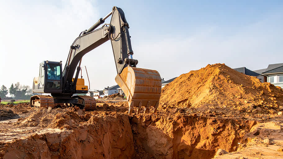
Prior to excavation, you should prepare the dig site and call 311 before you sign anything.

To get your site ready for excavation, you should move anything in the area that isn’t affixed to the land. You can save money on the excavation by removing hardscaping, including walkways, decks, concrete patios, and paver patios.

Before you carry out any digging, you should call 311 to confirm that there are no utility lines running through your excavation site. Skipping this step could lead to severe injury and property damage if your excavator hits a water, sewage, or gas line.

A few different types of land surveys can help determine certain features and boundaries of your property. These include:

  • Boundary surveys describe the actual borders of a property. These are generally required when trying to get construction permits issued. 

  • Location surveys provide much of the same information as a boundary survey but also include in-depth information about any improvements made to your property. 

  • Mortgage location surveys are usually required by lenders and title companies before financing or offering an insurance policy. 

  • Site-planning surveys are done before applying for building permits and can be issued before any major home improvements. 

  • Topographic surveys provide a formal map of land elevations. It can also describe the location and size of natural features and any land improvements.

Several government-backed lending programs can help first-time home buyers purchase a home with little money down. FHA, USDA, and VA loans are options for qualifying borrowers, though many conventional mortgage lenders will lower down payment rates to as low as 3 percent.

A land survey includes the layout of a single property, including precise measurements and to-scale drawings of boundary lines, land improvements, and sometimes other features, like topography and drainage information. A plat map includes the layouts and boundary lines of several adjacent plots and basic structure measurements. Surveys are normally more valuable for homeowners and buyers, and plat maps are for governmental use.

There are a couple of ways you can determine the depth of your well. One method is to use a device called a well sounder. This tool has a long measuring tape containing a sensor to alert you once the end reaches the water. 

Or you can DIY it by using a long tape measure with a half-filled bottle of water attached to it. Lower the tape measure into your well. Once you feel tension on the tape, you’ll know the bottle has reached your static water level. This will give you an approximate idea of your well’s depth.

The Stem, NC homeowners’ guide to land surveying services

From average costs to expert advice, get all the answers you need to get your job done.