






Serving Ocoee, FL and surrounding areas
Approved
In business since 2022
Free estimates
Emergency services offered
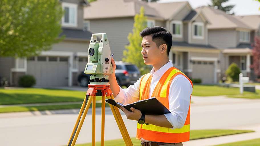
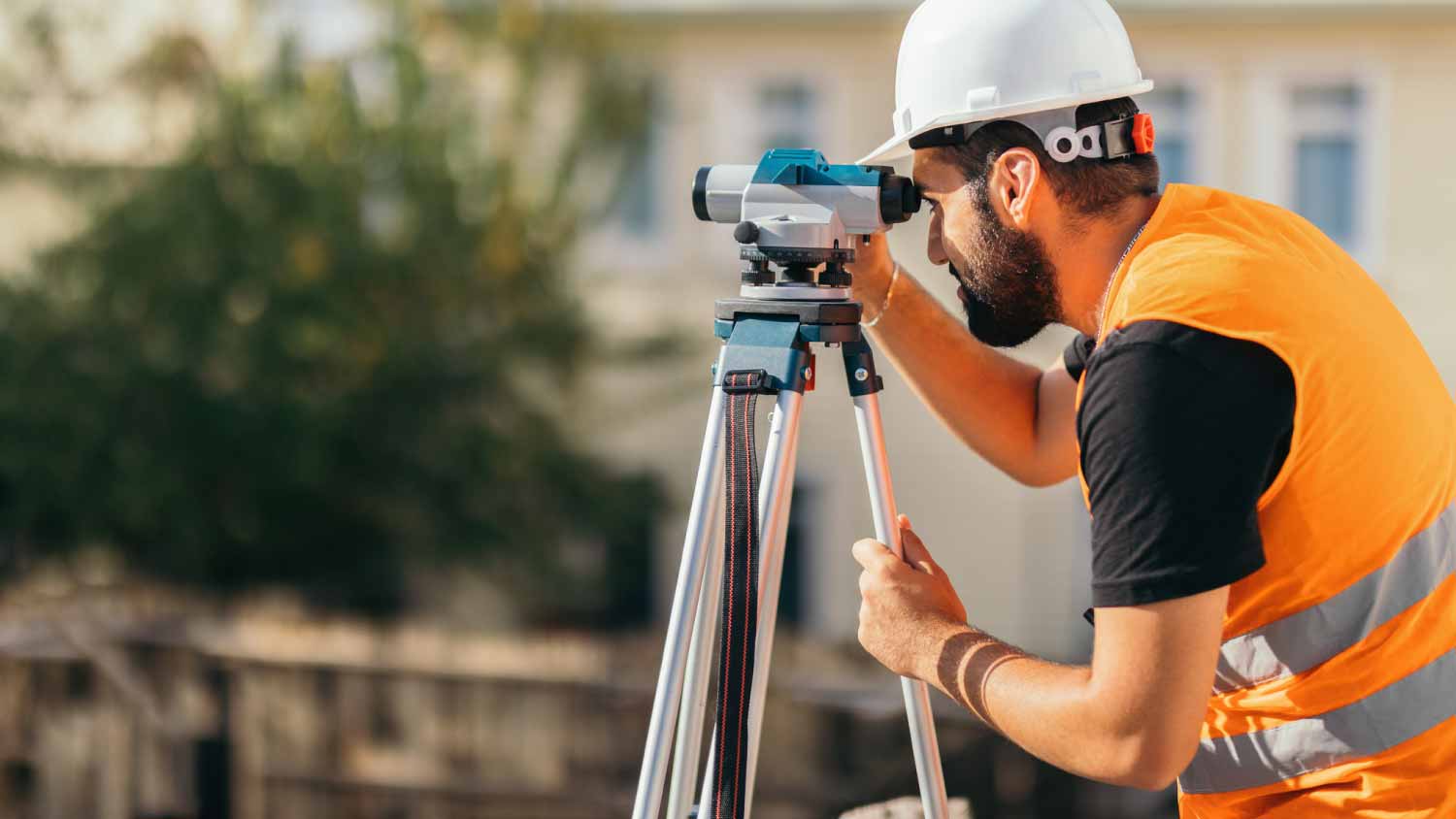
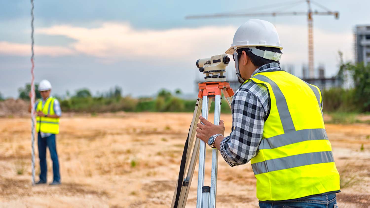
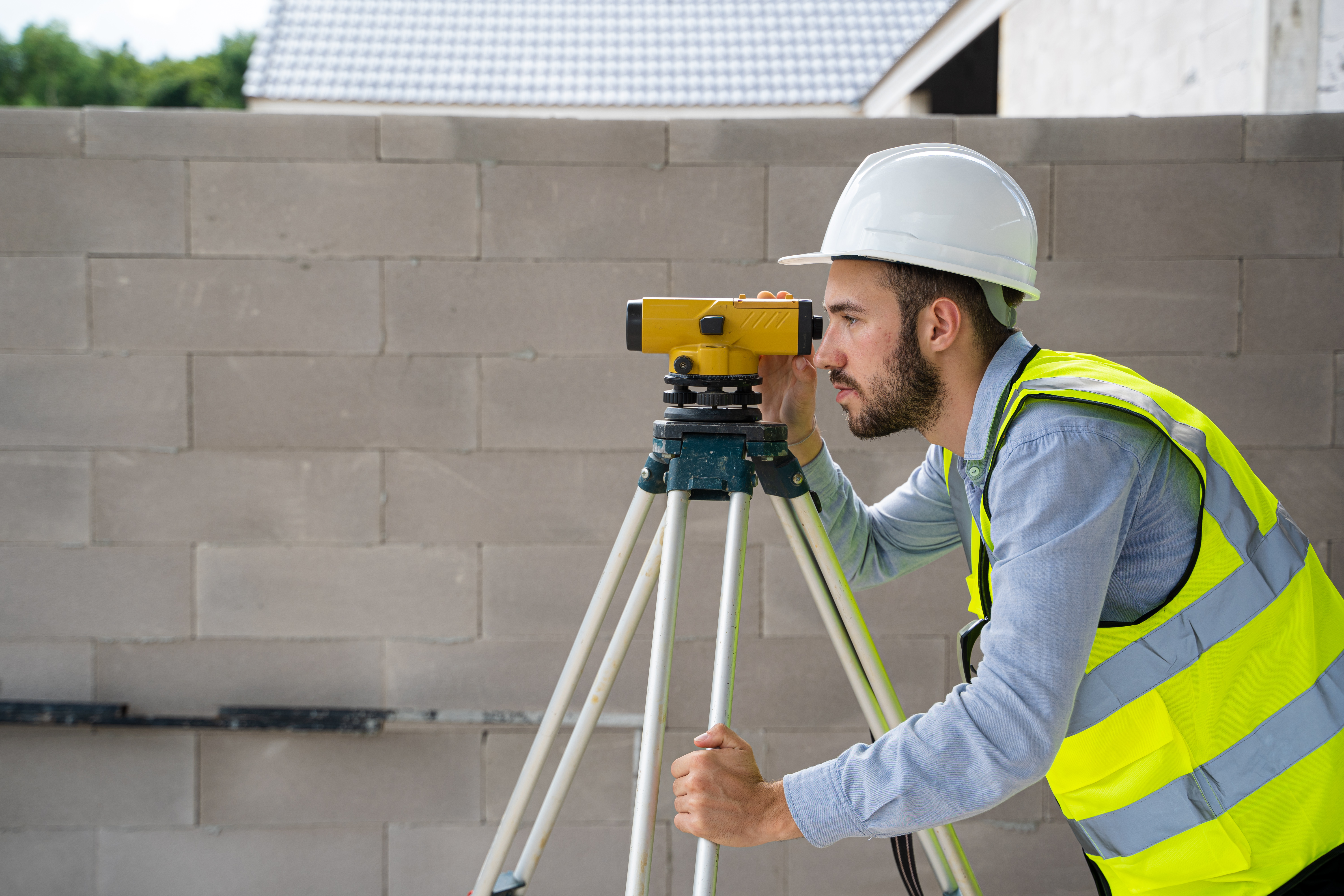
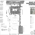
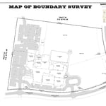
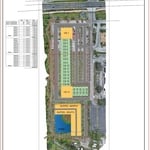
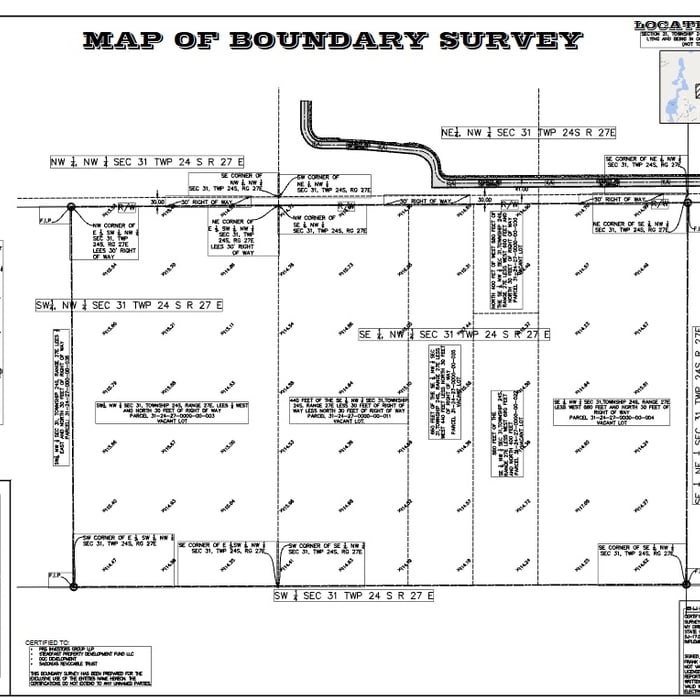
Skytech Geo – Precision Surveying & Aerial Mapping Solutions\n\nAt Skytech Geo, we specialize in delivering high-precision surveying and mapping services:\n\nOur Core Services:\n• Topographic Surveys: Detailed elevation models and terrain analysis.\n• Boundary & Title Surveys: Precise property line identification and legal documentation.\n• Construction Monitoring: Real-time tracking of project progress and site conditions.\n• LiDAR Mapping: High-resolution 3D models for complex terrain and vegetation analysis.\n• 2D & 3D Orthomosaic Mapping: Accurate aerial imagery for comprehensive site assessments.\n• As-Built Surveys: Verification of constructed elements against design specifications.\n• Route & Corridor Surveys: Planning and analysis for infrastructure projects like roads and utilities.\n\nWhy Choose Skytech Geo?\n• Expertise: Over 70 years of combined experience in surveying and engineering.\n
+3