
Get matched with top land surveyors in Oakland, FL
Enter your ZIP and get matched with up to 5 pros
Need a pro for your land surveying project in Oakland, FL?
Select your specific project to find the pro for you.
TRUSTED BY OAKLAND, FL HOMEOWNERS
 4.4 Average homeowner rating
 18 Verified land surveying services reviews
Verified Reviews for Land Surveying pros in Oakland, FL
*The Angi rating for Land Surveying companies in Oakland, FL is a rating based on verified reviews from our community of homeowners who have used these pros to meet their Land Surveying needs.
*The HomeAdvisor rating for Land Surveying companies in Oakland, FL is a rating based on verified reviews from our community of homeowners who have used these pros to meet their Land Surveying needs.
Last update on December 07, 2025


Find Land surveyors in Oakland
Global Landscapers
Global Landscapers
We do land clearing and Forestry work.
We do land clearing and Forestry work.
Galldo Group Inc
Galldo Group Inc
Galldo Group, is a fully integrated land surveying firm offering construction survey services to contractors and builders, as well as homeowners. We offer stormwater and septic site plans, boundary and topographic survey, and elevation certificates, as well as ALTA surveys, in the Southwest Floor Region. We have over 20 years of experienced, and operate three offices from Naples to Orlando.
Galldo Group, is a fully integrated land surveying firm offering construction survey services to contractors and builders, as well as homeowners. We offer stormwater and septic site plans, boundary and topographic survey, and elevation certificates, as well as ALTA surveys, in the Southwest Floor Region. We have over 20 years of experienced, and operate three offices from Naples to Orlando.

Geoland Surveying
Geoland Surveying
Free onsite estimate
Geoland surveying is an established land surveying firm serving South Florida for over 24 years working in the areas of Engineering Surveying, Cadastral, Topographic, Hydrographic and Project Management. ?Setting the marks one day at a time! ?️Residential & Commercial Surveying ? Serving all of Florida's surveying needs.
Geoland surveying is an established land surveying firm serving South Florida for over 24 years working in the areas of Engineering Surveying, Cadastral, Topographic, Hydrographic and Project Management. ?Setting the marks one day at a time! ?️Residential & Commercial Surveying ? Serving all of Florida's surveying needs.
STRAIGHT HORIZON
STRAIGHT HORIZON
24 years of experience
My company provide reliable, accurate land surveying services across Central Florida, helping builders, developers, and property owners move their projects forward with confidence. Looking forward to the opportunity to work with you. Please feel free to contact me if you need Land Surveyor services.
My company provide reliable, accurate land surveying services across Central Florida, helping builders, developers, and property owners move their projects forward with confidence. Looking forward to the opportunity to work with you. Please feel free to contact me if you need Land Surveyor services.
Remchuk Surveying, Inc.
Remchuk Surveying, Inc.
Remchuk Surveying, Inc. provides land surveying services including boundary surveys, topographic surveys, elevation certificates, lot splits, and platting for both residential and commercial parcels. I have worked at larger firms for many years. As a owner operated business I am ready to bring that experience to your survey project. I have been working in the Central Florida area (Orange, Osceola, Lake and Seminole Counties) since 2003.
Remchuk Surveying, Inc. provides land surveying services including boundary surveys, topographic surveys, elevation certificates, lot splits, and platting for both residential and commercial parcels. I have worked at larger firms for many years. As a owner operated business I am ready to bring that experience to your survey project. I have been working in the Central Florida area (Orange, Osceola, Lake and Seminole Counties) since 2003.

Atlantic Surveyors & Mappers LLC
Atlantic Surveyors & Mappers LLC
Customers say: Quick response
Recommended by 100% of Angi customers
Recommended by 100% of HomeAdvisor customers
We are offering the following services throughout Florida: - Elevation Certificates-Boundary Surveying-ALTA Surveys- Topographic Surveying - Platting - Field Studies - Building Construction Stake Out - Right of Way Surveys - Construction Layout - As Built. Our experience includes over 20 years in the surveying field with work for private development companies and government agencies.
"I am a realtor out of Jacksonville Florida. I had a seller that needed an appraisal quickly for a sale. Atlantic Surveyors not only completed the survey but my customer was so pleased she wanted to make sure I gave a positive feedback about her experience. From my prospective (realtor view) Atlantic surveyors squeezed this survey into their packed schedule when the original surveyor could have made a couple of minor changes to the original survey and spent far less time at the property to complete the survey. In this situation the home buyer actually personally knew the original surveyors and they still wouldn’t complete the survey in time for the closing!! Talk about communication, Atlantic surveyors contacted me quickly and backed up their words with action. I wish Atlantic surveyors was in Jacksonville Florida because I wouldn’t use any other surveyor. If you have a chance to use Atlantic surveyors don’t hesitate to use them. I’m a stickler for customer service and they went far beyond that. From the sellers prospective the surveyor showed up on time and walked them through every aspect of their property lines. From the old boundaries to the new boundaries the surveyor was very patient and professional ensuring to document everything!! As I mentioned before this customer wanted to make sure they got positive feedback from me!! Yes that’s how good they were. Will Tsang"
William T on July 2018
3 Palms Surveying
3 Palms Surveying
12 years of experience
Land Surveying Services Office with two Registered Land Surveyors at charge and Six Surveying Crews. Also we locate underground utilities. We accept Credit Cards.
Land Surveying Services Office with two Registered Land Surveyors at charge and Six Surveying Crews. Also we locate underground utilities. We accept Credit Cards.
HSA Golden
HSA Golden
36 years of experience
HSA Golden was founded in 1989 with the specific intention of providing an alternative to the slew of large, impersonal environmental firms available at that time. We believed there was a need for a company that delivered not only comprehensive, integrated environmental engineering consulting services quickly and cost-effectively, but in a manner that solved problems the first time around. We’ve done just that for the better part of 30 years.
HSA Golden was founded in 1989 with the specific intention of providing an alternative to the slew of large, impersonal environmental firms available at that time. We believed there was a need for a company that delivered not only comprehensive, integrated environmental engineering consulting services quickly and cost-effectively, but in a manner that solved problems the first time around. We’ve done just that for the better part of 30 years.
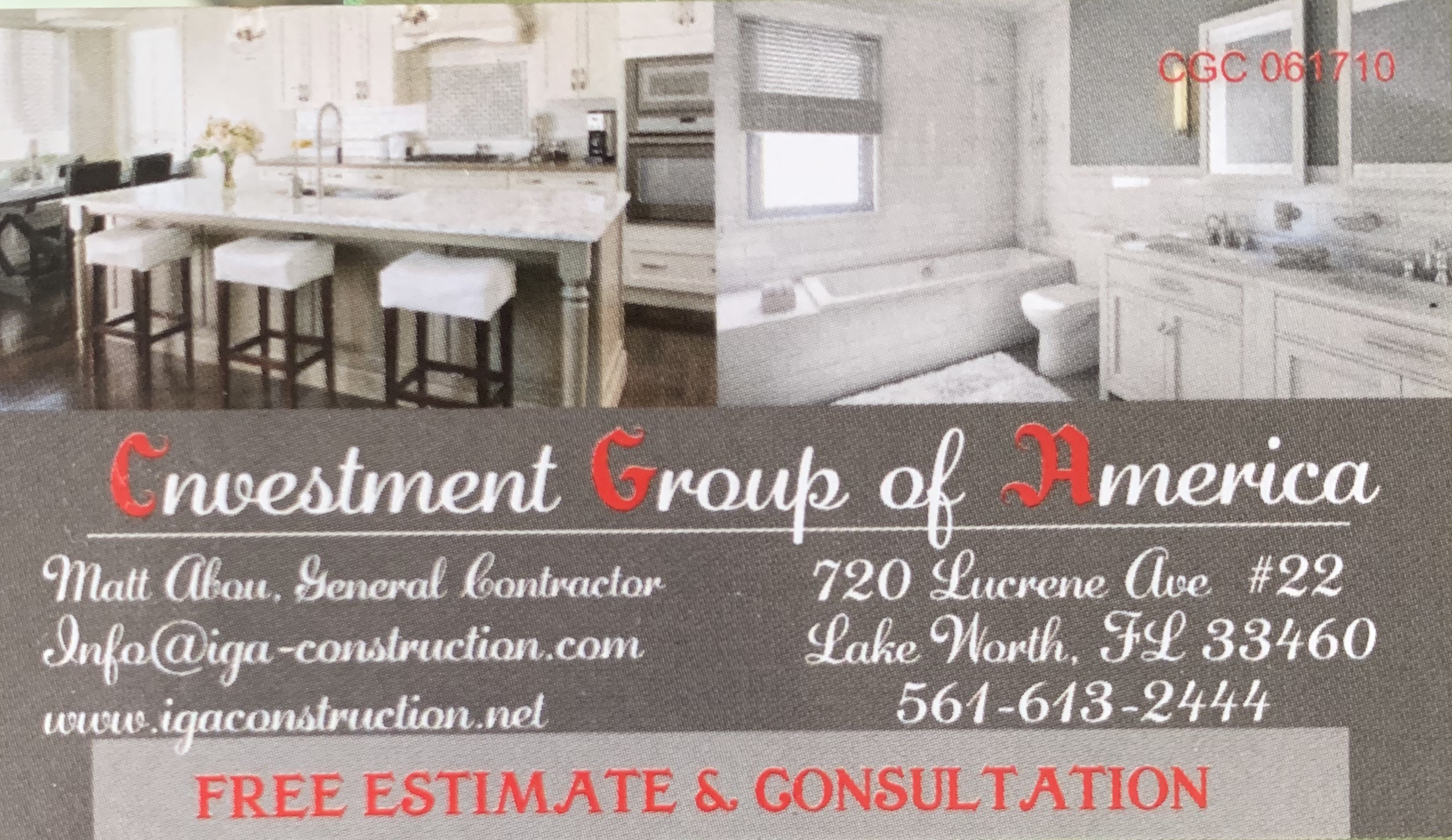
Iga Construction
Iga Construction
Customers say: Quality work
Recommended by 100% of Angi customers
Recommended by 100% of HomeAdvisor customers
General Contractor We are proud to serve our community with outstanding services. Our team is known for over the top performance, experience, leadership, design, and quality with over 30 years of experience. No jobs are too small or too big, Construction Residential & Commercial Construction Rehab Concrete restoration Remodeling & renovations Bathroom, kitchen design & renovation On site Interior Designer (by request) Windows & doors All construction
"IGA overdelivered and surpassed all of my expectations. Customer service was exceptional. Matt is a very talented and gifted guy. I am super grateful. He explained everything in detail. He and his team are very professional and reliable. My bathroom looks incredible. A total state of the art and updated design. Thank you so such Matt and your amazing company IGA."
Jasmine K on February 2019

Deal Land Surveying, LLC
Deal Land Surveying, LLC
Customers say: Quick response
Recommended by 100% of Angi customers
Recommended by 100% of HomeAdvisor customers
Residential Land Surveying specialists - order and pay online
"Excellent. Work done within a convenient schedule as promised. Very reasonable cost for service."
Ron A on March 2022
Residential Land Surveying specialists - order and pay online
"Excellent. Work done within a convenient schedule as promised. Very reasonable cost for service."
Ron A on March 2022
Land Surveying questions, answered by experts
The Oakland, FL homeowners’ guide to land surveying services
From average costs to expert advice, get all the answers you need to get your job done.
 •
•Discover site preparation cost estimates, including average prices, cost factors, and tips to help homeowners budget for their next project.

A land survey can determine your property’s borders and settle property disputes. Learn how much a land survey costs and what can affect the price.

Just bought a plot of land and need to get it build-ready? Learn how much it costs to clear land to gauge your initial budget before you break ground.
 •
•Find out how much an elevation certificate costs, including average prices, cost factors, and tips to save money when hiring a surveyor for your property.

What is a property line? Find out everything you need to know about property lines, from easements to where to build a fence and how land surveys work.

Real estate transactions often require a survey, but who pays for it? Learn who pays for a land survey in most cases and some exceptions to the norm.
- Winter Garden, FL Land surveyors
- Ocoee, FL Land surveyors
- Gotha, FL Land surveyors
- Windermere, FL Land surveyors
- Montverde, FL Land surveyors
- Hiawassee, FL Land surveyors
- Clarcona, FL Land surveyors
- Nocatee, FL Land surveyors
- Pine Hills, FL Land surveyors
- Minneola, FL Land surveyors
- Orlovista, FL Land surveyors
- Apopka, FL Land surveyors
- Plymouth, FL Land surveyors
- Lockhart, FL Land surveyors
- Clermont, FL Land surveyors
- Zellwood, FL Land surveyors
- Lake Buena Vista, FL Land surveyors
- Astatula, FL Land surveyors
- Pine Castle, FL Land surveyors
- Winter Park, FL Land surveyors
- Forest City, FL Land surveyors
- Groveland, FL Land surveyors
- Altamonte Springs, FL Land surveyors
- Belle Isle, FL Land surveyors
- Maitland, FL Land surveyors
- Howey In The Hills, FL Land surveyors
- Mount Dora, FL Land surveyors
- Celebration, FL Land surveyors
- Mascotte, FL Land surveyors
- Longwood, FL Land surveyors
- Home Inspection in Oakland
- Pest Control in Oakland
- Basement Waterproofing in Oakland
- Garage Doors in Oakland
- Gutter Cleaning in Oakland
- Roofing in Oakland
- Garbage Collection in Oakland
- Lawn And Yard Work in Oakland
- Cabinet Refinishing in Oakland
- Air Duct Cleaning in Oakland
- Lawn Fertilization And Treatment in Oakland
- Drywall in Oakland
- Handyman Service in Oakland
- Kitchen And Bath Remodeling in Oakland
- Concrete Driveways in Oakland
- Foundation Repair in Oakland
- Mailbox Repair in Oakland
- Plumbing in Oakland
- Plumbing in Oakland
- Roofing in Oakland
- Kitchen And Bath Remodeling in Oakland
- Electrical in Oakland
- Tree Service in Oakland
- Swimming Pools in Oakland
- Lawn And Yard Work in Oakland
- Pest Control in Oakland
- Landscaping in Oakland
- Moving in Oakland
- Pressure Washing in Oakland
- Handyman Service in Oakland
What do you need done? We’ll find top pros.
- 🌱 "Mow a small front yard"
- 🛠 "Fix a leaking pipe under the sink"
- 🏠 "Repair shingles on an asphalt roof"