





Top-rated land clearing pros.

Get matched with top land clearing pros in Oregon, WI

Enter your zip and get matched with up to 5 pros

Need a pro for your land clearing project in Oregon, WI?

Select your specific project to find the pro for you.

TRUSTED BY OREGON, WI HOMEOWNERS

  • Average homeowner rating star icon4.6
    Average homeowner rating
  • Verified reviews icon613
    Verified land clearing services reviews

Find Land clearing pros in Oregon

Clear View Land Management LLC
5.0(
5
)
Building Site - Preparation and Clearing

Serving Oregon, WI and surrounding areas

Approved

In business since 2024

Free estimates

Credit card accepted

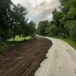
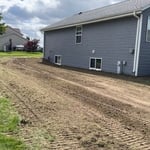
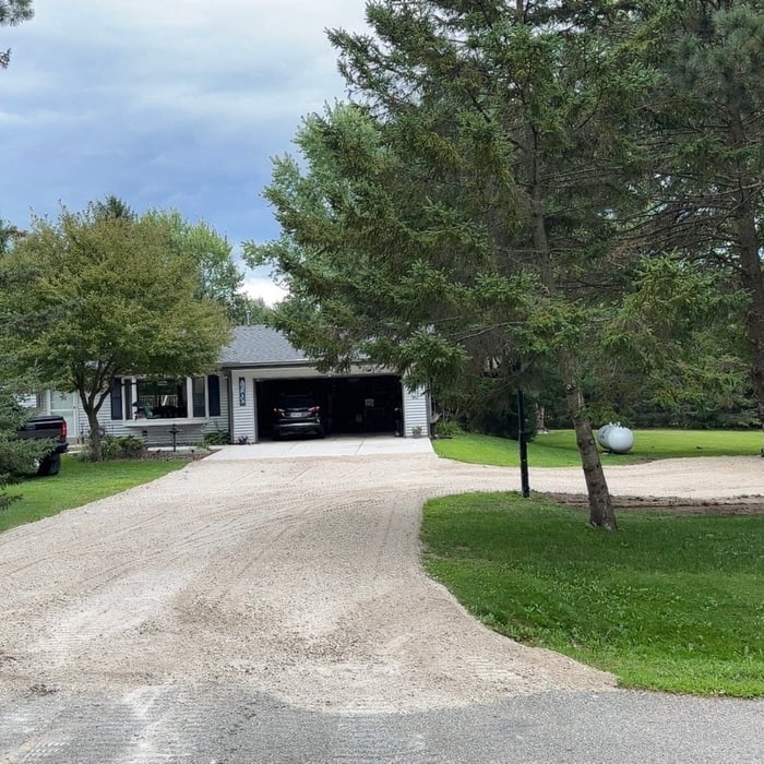
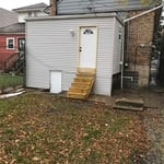
"Austin was extremely professional and did very nice work. We had grading issues near the house and Austin helped craft a solution with me and then made it happen. I had struggled with other contractors in the area returning calls, not showing up when they said they would, and a variety of other issues - I did not have any of those issues with Clear View Land Management LLC. They showed up when they said they would, did what they said they were going to, and the price was very reasonable. I've included a few before photos of our issue, and then after the grading, and then after they were finished."
Response time2 hrs
Response rate100%
23 neighbors recently requested a quote

Showing 1-10 of 34
Land Clearing Services questions, answered by experts

The small lines on the tape measure either indicate inches, fractions of an inch, or centimeters and millimeters. On the imperial unit side (aka the inches side), the longest lines indicate inches, followed by the next shortest lines that indicate a half-inch, and then the quarter, eighth, and sixteenth-inch. On the metric side, the lines break down meters, centimeters, and millimeters.

Land survey reports have a boatload of information relevant to several scenarios. Here are the types of information contained with a survey, though it depends on your chosen type of land survey. Exact boundaries and dimensions of a given property General topography, including both natural and artificial landmarks Location of utility fixtures, like water mains Confirmation of any easements or encroachments on a piece of property Assessment of land elevation to buy flood insurance Updated information to add to a pre-existing property map

There are a couple of ways you can determine the depth of your well. One method is to use a device called a well sounder. This tool has a long measuring tape containing a sensor to alert you once the end reaches the water. 

Or you can DIY it by using a long tape measure with a half-filled bottle of water attached to it. Lower the tape measure into your well. Once you feel tension on the tape, you’ll know the bottle has reached your static water level. This will give you an approximate idea of your well’s depth.

Before property transactions or major improvements to ensure accuracy.

A land survey defines and records the physical aspects of a property, including its boundaries, dimensions, easements, features, and sometimes topographical information. In contrast, a land appraisal determines the property's monetary value. While an appraiser will often consult a land survey to understand the property's physical specifications, the survey itself does not determine the land's value.

The Oregon, WI homeowners’ guide to land clearing services

From average costs to expert advice, get all the answers you need to get your job done.