
Get matched with top land surveyors in Live Oak, TX
Enter your zip and get matched with up to 5 pros
Need a pro for your land surveying project in Live Oak, TX?
Select your specific project to find the pro for you.
TRUSTED BY LIVE OAK, TX HOMEOWNERS
 4.8 Average homeowner rating
 11 Verified land surveying services reviews
Verified Reviews for Land Surveying pros in Live Oak, TX
*The Angi rating for Land Surveying companies in Live Oak, TX is a rating based on verified reviews from our community of homeowners who have used these pros to meet their Land Surveying needs.
*The HomeAdvisor rating for Land Surveying companies in Live Oak, TX is a rating based on verified reviews from our community of homeowners who have used these pros to meet their Land Surveying needs.
Last update on December 06, 2025


Find Land surveyors in Live Oak

MARIO SANCHEZ & ASSOCIATES CORP.
MARIO SANCHEZ & ASSOCIATES CORP.
Customers say: Quick response
Recommended by 100% of Angi customers
Recommended by 100% of HomeAdvisor customers
MARIO SANCHEZ & ASSOCIATES CORP. is a one stop shop for Real Estate Development. Our strength is in our relationships with Architects, Engineers, and Contractors. By collaborating together we can provide a turn key development project in less time and on budget. Our services include but are not limited to: 1. FINANCING 2.LAND ACQUISITION 3.SCHEMATIC DESIGN 4.DESIGN DEVELOPMENT 5.CONSTRUCTION DOCUMENTS 6.PERMITS AND PROCESS 7.CONSTRUCTION
"It went great! Mario is very professional and his work ethic is unmatched. Highly recommend!"
Nicole S on October 2025
TrueLine Construction Layout
TrueLine Construction Layout
Free onsite estimate
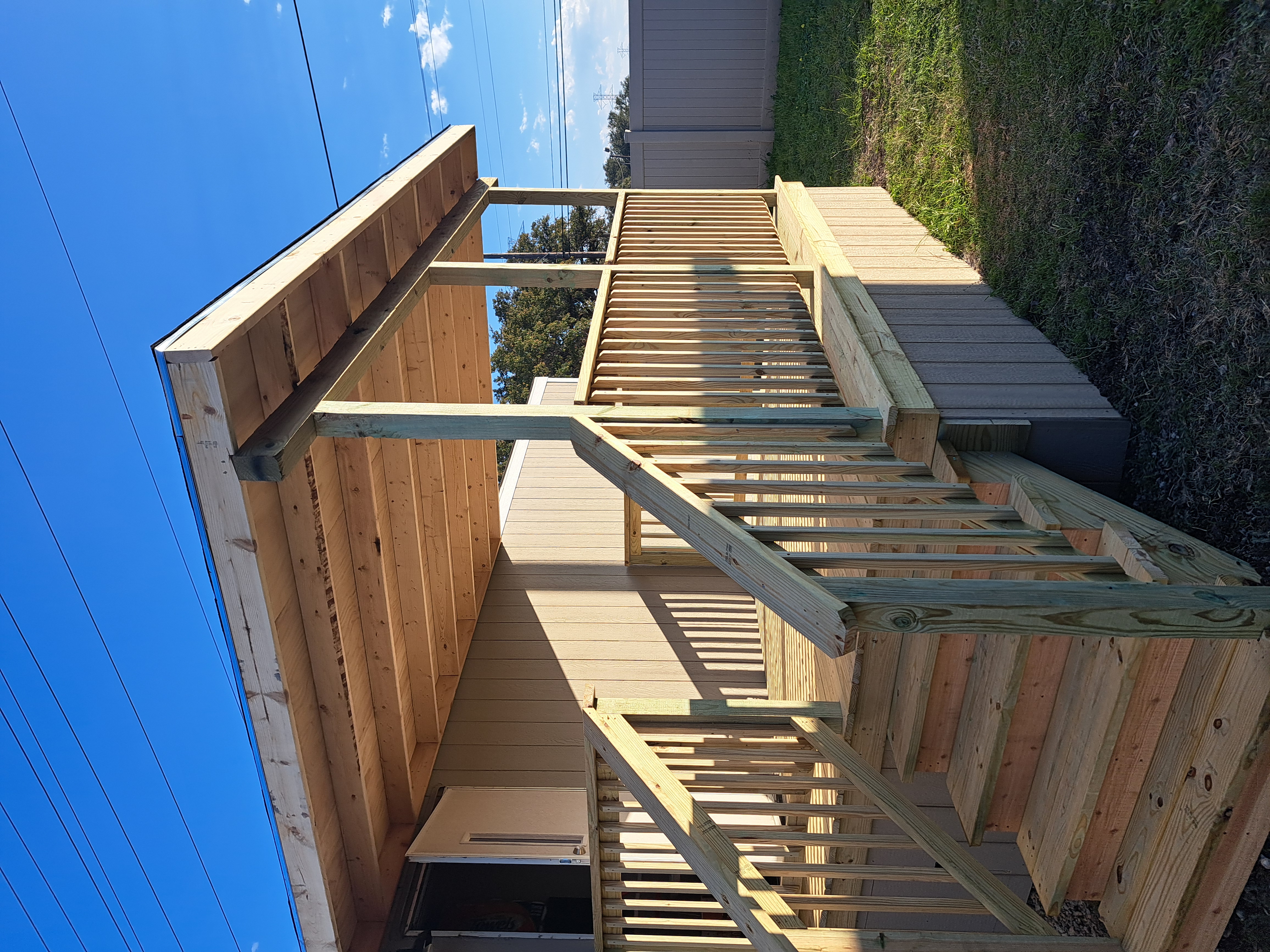
We are a San Antonio based land surveying and construction staking company that has been in business for almost 10 years now. We provide land surveying and construction staking services in the commercial, residential and industrial sectors. We perform all aspects of land surveying and construction staking. We have been able to rise above the rest by providing efficient and quick scheduling of projects, detailed work by field crews and showcasing excellent professionalism by every staff member.
We are a San Antonio based land surveying and construction staking company that has been in business for almost 10 years now. We provide land surveying and construction staking services in the commercial, residential and industrial sectors. We perform all aspects of land surveying and construction staking. We have been able to rise above the rest by providing efficient and quick scheduling of projects, detailed work by field crews and showcasing excellent professionalism by every staff member.
True Line Construction Layout
True Line Construction Layout
13 years of experience
Land Surveying/Construction Layout
Land Surveying/Construction Layout
R&A REMODELING & LANDSCAPING LLC.
R&A REMODELING & LANDSCAPING LLC.
Remodeling, Landscaping, Design, Commercial/Residential. Construction, Built, Renewed, and Demolishing. Yard Design, Lighting, Masonary, Yard Art.
Remodeling, Landscaping, Design, Commercial/Residential. Construction, Built, Renewed, and Demolishing. Yard Design, Lighting, Masonary, Yard Art.
ISRO Engineering Services, P.L.L.C.
ISRO Engineering Services, P.L.L.C.
13 years of experience
ISRO ENGINEERING SERVICES PLLC IS A SMALL FIRM IN SAN ANTONIO, TEXAS CONDUCTING CIVIL ENGINEERING SERVICES TO INCLUDE LAND DEVELOPMENT, PUBLIC WORKS, WATER WASTEWATER SYSTEMS, UTILITIES AND CONSTRUCTION SERVICES. CAN ASSIST WITH LAND SURVEYING, COATING SYSTEMS, CATHODIC PROTECTION SYSTEMS, STRUCTURAL SYSTEMS AND HOME CONSTRUCTION.
ISRO ENGINEERING SERVICES PLLC IS A SMALL FIRM IN SAN ANTONIO, TEXAS CONDUCTING CIVIL ENGINEERING SERVICES TO INCLUDE LAND DEVELOPMENT, PUBLIC WORKS, WATER WASTEWATER SYSTEMS, UTILITIES AND CONSTRUCTION SERVICES. CAN ASSIST WITH LAND SURVEYING, COATING SYSTEMS, CATHODIC PROTECTION SYSTEMS, STRUCTURAL SYSTEMS AND HOME CONSTRUCTION.
Elizondo & Associates Land Surveying & Mapping,LLC
Elizondo & Associates Land Surveying & Mapping,LLC
Customers say: Terrific value
Free onsite estimate
A Full Service Land Surveying and Mapping Firm Serving San Antonio, Bexar County & the State of Texas.
A Full Service Land Surveying and Mapping Firm Serving San Antonio, Bexar County & the State of Texas.

Advanced Drone Technologies
Advanced Drone Technologies
10 years of experience
Advanced Drone Technologies is a drone based services company that offers a complete solution for the following services. Safety and Efficiency are our key factors in our best-in-class UAS services. Aerial surveying Remote sensing Telecommunications Agriculture Aerial filmmaking and photography Energy systems inspections Asset management Construction site inspections and monitoring Wildlife and forestry monitoring Education and research Pipeline inspection Patrolling operations
Advanced Drone Technologies is a drone based services company that offers a complete solution for the following services. Safety and Efficiency are our key factors in our best-in-class UAS services. Aerial surveying Remote sensing Telecommunications Agriculture Aerial filmmaking and photography Energy systems inspections Asset management Construction site inspections and monitoring Wildlife and forestry monitoring Education and research Pipeline inspection Patrolling operations
Flores lawncare & Tree Trimming
Flores lawncare & Tree Trimming
12 years of experience
I do commercial & residential jobs. Weekly or By-weekly. Great work at a resenobal price. Always keep the clients happy. They can pay the same day or the next visit cash or checks allow only.
I do commercial & residential jobs. Weekly or By-weekly. Great work at a resenobal price. Always keep the clients happy. They can pay the same day or the next visit cash or checks allow only.
Bettersworth & Associates Inc
Bettersworth & Associates Inc
Bettersworth and Associates, Inc. is an experienced team of resourceful and award-winning land planners. Established 1953 in Seguin, Texas, we have gained recognition in creating better places in which to live, learn, work and play. Our goal is to improve the value of our clients land resources in a way that advances their missions and improves their communities. We are proud of the long-term relationships we have developed with our clients through creative and responsive advocacy. These relationships have helped us earn a reputation for getting noteworthy projects built in each industry we serve - Civil Engineering, Land Surveyor, Land Planners, Commercial Development, Engineering, Street Sewer, Drainage, Site Consultation, Subdivisions, Residential, Commercial, and Industrial.
Bettersworth and Associates, Inc. is an experienced team of resourceful and award-winning land planners. Established 1953 in Seguin, Texas, we have gained recognition in creating better places in which to live, learn, work and play. Our goal is to improve the value of our clients land resources in a way that advances their missions and improves their communities. We are proud of the long-term relationships we have developed with our clients through creative and responsive advocacy. These relationships have helped us earn a reputation for getting noteworthy projects built in each industry we serve - Civil Engineering, Land Surveyor, Land Planners, Commercial Development, Engineering, Street Sewer, Drainage, Site Consultation, Subdivisions, Residential, Commercial, and Industrial.
Howard Surveying LLC
Howard Surveying LLC
Free onsite estimate
Howard Surveying LLC
Howard Surveying LLC
Land Surveying questions, answered by experts
The Live Oak, TX homeowners’ guide to land surveying services
From average costs to expert advice, get all the answers you need to get your job done.
 •
•Discover site preparation cost estimates, including average prices, cost factors, and tips to help homeowners budget for their next project.

A land survey can determine your property’s borders and settle property disputes. Learn how much a land survey costs and what can affect the price.

Just bought a plot of land and need to get it build-ready? Learn how much it costs to clear land to gauge your initial budget before you break ground.

A land surveyor can perform a land survey and help clarify your property boundaries and features. Use this guide to find the right professional.

Land surveys provide an accurate record of your property. Learn how long a land survey is good for and when you should have your property resurveyed.

Knowing where your property lines are can help settle a dispute with a neighbor and even prevent an ugly legal battle. This guide will help you draw the line.
- Schertz, TX Land surveyors
- Selma, TX Land surveyors
- Universal City, TX Land surveyors
- Windcrest, TX Land surveyors
- Wetmore, TX Land surveyors
- Garden Ridge, TX Land surveyors
- Cibolo, TX Land surveyors
- Converse, TX Land surveyors
- Hill Country Village, TX Land surveyors
- Hollywood Park, TX Land surveyors
- Kirby, TX Land surveyors
- Bulverde, TX Land surveyors
- Terrell Hills, TX Land surveyors
- Alamo Heights, TX Land surveyors
- Olmos Park, TX Land surveyors
- Marion, TX Land surveyors
- Santa Clara, TX Land surveyors
- Castle Hills, TX Land surveyors
- Saint Hedwig, TX Land surveyors
- Shavano Park, TX Land surveyors
- Balcones Heights, TX Land surveyors
- China Grove, TX Land surveyors
- Adkins, TX Land surveyors
- Leon Valley, TX Land surveyors
- Mcqueeney, TX Land surveyors
- New Braunfels, TX Land surveyors
- Canyon Lake, TX Land surveyors
- La Vernia, TX Land surveyors
- Helotes, TX Land surveyors