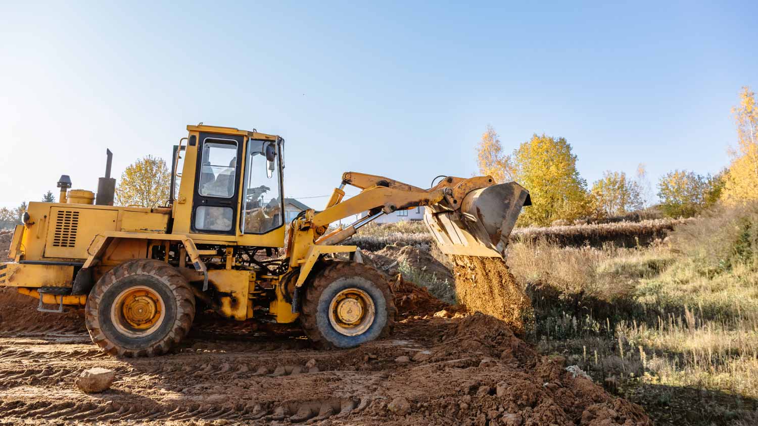



Top-rated land clearing pros.

Best land clearing pros near Campobello, SC

Enter your zip and get matched with up to 5 pros

Need a pro for your land clearing project in Campobello, SC?

Select your specific project to find the pro for you.

TRUSTED BY CAMPOBELLO, SC HOMEOWNERS

  • Average homeowner rating star icon4.7
    Average homeowner rating
  • Verified reviews icon502
    Verified land clearing services reviews

Top-Rated Land clearing pros in Campobello - Updated Nov 2026

Avatar for 4 Way Land Solutions LLC
4 Way Land Solutions LLC
5.0(
4
)
Building Site - Preparation and ClearingBuilding Site - Preparation and Clearing - For Business

Serving Campobello, SC and surrounding areas

Approved

In business since 2020

Free estimates

Credit card accepted

"I had a great experience with this landscaping professional. From the beginning, they were very professional, respectful, and easy to communicate with. They showed up on time, paid attention to detail, and did an excellent job making sure everything looked clean and well-maintained. I was very pleased with the quality of their work and how efficiently the job was completed. I would definitely recommend their services to anyone looking for reliable and professional landscaping work."
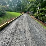
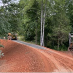
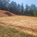
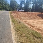
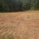
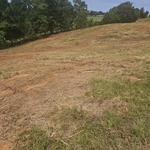
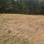
Property clearing
Property clearing
Property clearing
...
Showing 1-10 of 100
Land Clearing Services FAQs, answered by experts

A professional land surveyor ensures accurate property boundaries and prevent legal disputes.

A boundary survey measures the boundary lines of the property, only the length of each property line and their locations. A land survey includes a more in-depth measurement of the property, including the heights and depths of the terrain measured by a topographic survey. A boundary survey is typically the most cost-effective method for marking and measuring property lines.

A land survey includes the layout of a single property, including precise measurements and to-scale drawings of boundary lines, land improvements, and sometimes other features, like topography and drainage information. A plat map includes the layouts and boundary lines of several adjacent plots and basic structure measurements. Surveys are normally more valuable for homeowners and buyers, and plat maps are for governmental use.
If you can’t find any records online, you’ll need to contact your county clerk’s office to do further research. They should have property records on file, or can at least point you in the right direction of who to contact. You can also speak with your neighbors about when their houses were built because they were likely built around the same time.

The small lines on the tape measure either indicate inches, fractions of an inch, or centimeters and millimeters. On the imperial unit side (aka the inches side), the longest lines indicate inches, followed by the next shortest lines that indicate a half-inch, and then the quarter, eighth, and sixteenth-inch. On the metric side, the lines break down meters, centimeters, and millimeters.

The Campobello, SC homeowners’ guide to land clearing services

From average costs to expert advice, get all the answers you need to get your job done.