
Get matched with top land surveyors in Argyle, NY
Enter your ZIP and get matched with up to 5 pros
Need a pro for your land surveying project in Argyle, NY?
Select your specific project to find the pro for you.
Find Land surveyors in Argyle
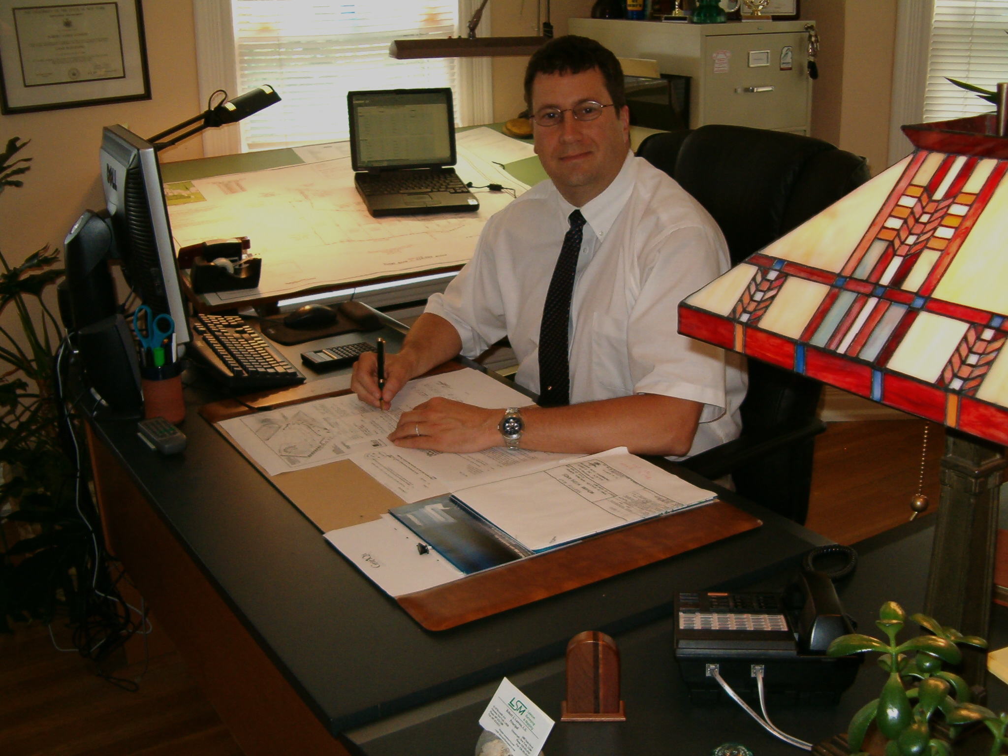
Lawson Surveying & Mapping
Lawson Surveying & Mapping
Customers say: Quick response
Recommended by 100% of Angi customers
Recommended by 100% of HomeAdvisor customers
We are a full service Land Surveying firm licensed and registered in New York State. We have four fully equipped field crews that travel throughout the region. Our firm provides timely and professional services at cost effective prices. For more information go to our website: www.lawsonsurvey.com
We are a full service Land Surveying firm licensed and registered in New York State. We have four fully equipped field crews that travel throughout the region. Our firm provides timely and professional services at cost effective prices. For more information go to our website: www.lawsonsurvey.com
STORINO GEOMATICS, PLLC
STORINO GEOMATICS, PLLC
17 years of experience
Storino Geomatics, PLLC is a professional land surveying, mapping and geospatial firm dedicated to providing direct, high quality, and timely professional services to the private and public sectors. Since our founding in 2008, we have strived to maintain a standard of excellence in the communities we serve. Headquartered in Watertown, NY, services were initially offered in Jefferson, Lewis, Oswego, and St. Lawrence Counties. Presently, we offer professional services throughout the State of New York and the State of Vermont. Building on combined professional experience surpassing 50 years, we have a deep passion and appreciation for our profession. We maintain a diverse, educated, trained and experienced team of professionals ready to meet your land surveying, mapping and geospatial needs. We strive to deliver exceptional professional services to our clients and our staff has the ability to provide an extensive variety of surveying services, solutions, and products. Our energetic professional staff is here to guide you and will go above and beyond to assist you in determining and understanding your project goals and needs. We take great pride in giving only realistic goals, quotes and time frames. Technology in our profession is constantly changing. We strive to invest in and utilize modern technology and equipment allowing us the ability to offer a wider variety of services and complete projects more efficiently and quickly to meet your needs and schedule while maintaining the standard of excellence we strive for. We are proud members of the New York State Association of Professional Land Surveyors, the Vermont Society of Land Surveyors, and the National Society of Professional Surveyors.
Storino Geomatics, PLLC is a professional land surveying, mapping and geospatial firm dedicated to providing direct, high quality, and timely professional services to the private and public sectors. Since our founding in 2008, we have strived to maintain a standard of excellence in the communities we serve. Headquartered in Watertown, NY, services were initially offered in Jefferson, Lewis, Oswego, and St. Lawrence Counties. Presently, we offer professional services throughout the State of New York and the State of Vermont. Building on combined professional experience surpassing 50 years, we have a deep passion and appreciation for our profession. We maintain a diverse, educated, trained and experienced team of professionals ready to meet your land surveying, mapping and geospatial needs. We strive to deliver exceptional professional services to our clients and our staff has the ability to provide an extensive variety of surveying services, solutions, and products. Our energetic professional staff is here to guide you and will go above and beyond to assist you in determining and understanding your project goals and needs. We take great pride in giving only realistic goals, quotes and time frames. Technology in our profession is constantly changing. We strive to invest in and utilize modern technology and equipment allowing us the ability to offer a wider variety of services and complete projects more efficiently and quickly to meet your needs and schedule while maintaining the standard of excellence we strive for. We are proud members of the New York State Association of Professional Land Surveyors, the Vermont Society of Land Surveyors, and the National Society of Professional Surveyors.
Land Surveying questions, answered by experts
The Argyle, NY homeowners’ guide to land surveying services
From average costs to expert advice, get all the answers you need to get your job done.
 •
•Discover site preparation cost estimates, including average prices, cost factors, and tips to help homeowners budget for their next project.

A land survey can determine your property’s borders and settle property disputes. Learn how much a land survey costs and what can affect the price.

Just bought a plot of land and need to get it build-ready? Learn how much it costs to clear land to gauge your initial budget before you break ground.

A land surveyor can perform a land survey and help clarify your property boundaries and features. Use this guide to find the right professional.

Knowing where your property lines are can help settle a dispute with a neighbor and even prevent an ugly legal battle. This guide will help you draw the line.
 •
•Find out how much an elevation certificate costs, including average prices, cost factors, and tips to save money when hiring a surveyor for your property.
- Fort Edward, NY Land surveyors
- Hudson Falls, NY Land surveyors
- South Glens Falls, NY Land surveyors
- Gansevoort, NY Land surveyors
- Wilton, NY Land surveyors
- Glens Falls, NY Land surveyors
- Queensbury, NY Land surveyors
- Schuylerville, NY Land surveyors
- Corinth, NY Land surveyors
- Saratoga Springs, NY Land surveyors
- Greenfield Center, NY Land surveyors
- Johnsonville, NY Land surveyors
- Lawn Mower Repair in Argyle
- Window Cleaning in Argyle
- Snow Removal in Argyle
- House Cleaning in Argyle
- Lawn Mower Repair in Argyle
- Trampoline Assembly in Argyle
- Sink Installation in Argyle
- Plumbing in Argyle
- Electrical in Argyle
- Handyman Service in Argyle
- Landscaping in Argyle
- Roofing in Argyle
- Locksmiths in Argyle
- Hvac in Argyle
- Lawn Care in Argyle
- Air Duct Cleaning in Argyle
- Painting in Argyle
- Appliance Repair in Argyle
- Lawn And Yard Work in Argyle
- Interior Painting in Argyle
- Ev Charger Installer in Argyle
- Drain Cleaning in Argyle
- Contractor in Argyle
- Gutter Cleaning in Argyle
- Pressure Washing in Argyle
- Boiler Repair in Argyle
- Flooring in Argyle
- Exterior Painting in Argyle
- Foundation Repair in Argyle