








Top-rated land clearing pros.

Get matched with top land clearing pros in Terry, MS

Enter your zip and get matched with up to 5 pros

Need a pro for your land clearing project in Terry, MS?

Select your specific project to find the pro for you.

TRUSTED BY TERRY, MS HOMEOWNERS

  • Average homeowner rating star icon4.7
    Average homeowner rating
  • Verified reviews icon232
    Verified land clearing services reviews

Find Land clearing pros in Terry

Avatar for Elevated Excavation LLC
Elevated Excavation LLC
5.0(
9
)
Building Site - Preparation and ClearingBuilding Site - Preparation and Clearing - For Business

Serving Terry, MS and surrounding areas

Approved

In business since 2024

Free estimates

Credit card accepted

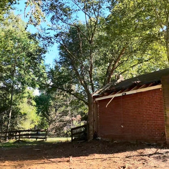
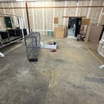
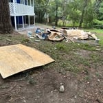
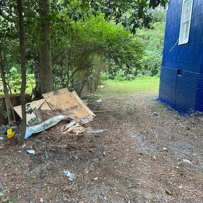
"⭐⭐⭐⭐⭐ Elevated Excavation did an outstanding job from start to finish. Great communication, professional equipment, and fast turnaround time. The crew showed up on time, kept the property clean, and delivered quality work exactly as promised. If you need land clearing, demolition, excavation, or storm cleanup services, I highly recommend Elevated Excavation."
Brush Clearing
Brush Clearing
Brush Clearing
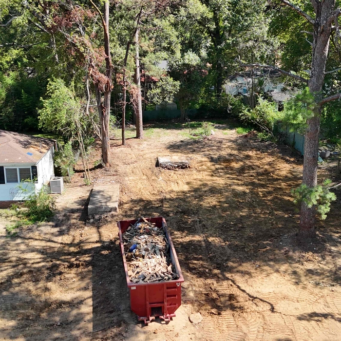
Start of Job
Job Completion

+4

6 neighbors recently requested a quote
Recommended by57%of homeowners

...
Showing 1-10 of 54
Land Clearing Services questions, answered by experts

The small lines on the tape measure either indicate inches, fractions of an inch, or centimeters and millimeters. On the imperial unit side (aka the inches side), the longest lines indicate inches, followed by the next shortest lines that indicate a half-inch, and then the quarter, eighth, and sixteenth-inch. On the metric side, the lines break down meters, centimeters, and millimeters.

A land survey defines and records the physical aspects of a property, including its boundaries, dimensions, easements, features, and sometimes topographical information. In contrast, a land appraisal determines the property's monetary value. While an appraiser will often consult a land survey to understand the property's physical specifications, the survey itself does not determine the land's value.

A boundary survey measures the boundary lines of the property, only the length of each property line and their locations. A land survey includes a more in-depth measurement of the property, including the heights and depths of the terrain measured by a topographic survey. A boundary survey is typically the most cost-effective method for marking and measuring property lines.

Yes, new home construction will always require building permits, no matter where you live. In most cases, you’ll need a general construction permit, along with plumbing and electrical permits for the utility lines in your home. Depending on where you live, you’ll likely find that you also need permits for things like connection to a sewage system or installing exterior components, like decks, driveways, patios, and curb cutouts. Leave navigating the permits required for new home construction to a professional to ensure your home is built legally and safely.

To prepare for a land survey, you must thoroughly check your land surveyor’s qualifications, reviews, and fees to align with your expectations. When it is time for the survey to be conducted, ensure that you have all your documents organized and available, know and mark your property lines, and inform your neighbors that the survey is happening.

The Terry, MS homeowners’ guide to land clearing services

From average costs to expert advice, get all the answers you need to get your job done.