






Top-rated land clearing pros.

Get matched with top land clearing pros in Cleary, MS

Enter your zip and get matched with up to 5 pros

Need a pro for your land clearing project in Cleary, MS?

Select your specific project to find the pro for you.

TRUSTED BY CLEARY, MS HOMEOWNERS

  • Average homeowner rating star icon4.6
    Average homeowner rating
  • Verified reviews icon211
    Verified land clearing services reviews

Find Land clearing pros in Cleary

Avatar for Elevated Excavation LLC
Elevated Excavation LLC
5.0(
9
)
Building Site - Preparation and ClearingBuilding Site - Preparation and Clearing - For Business

Serving Cleary, MS and surrounding areas

Approved

In business since 2024

Free estimates

Credit card accepted

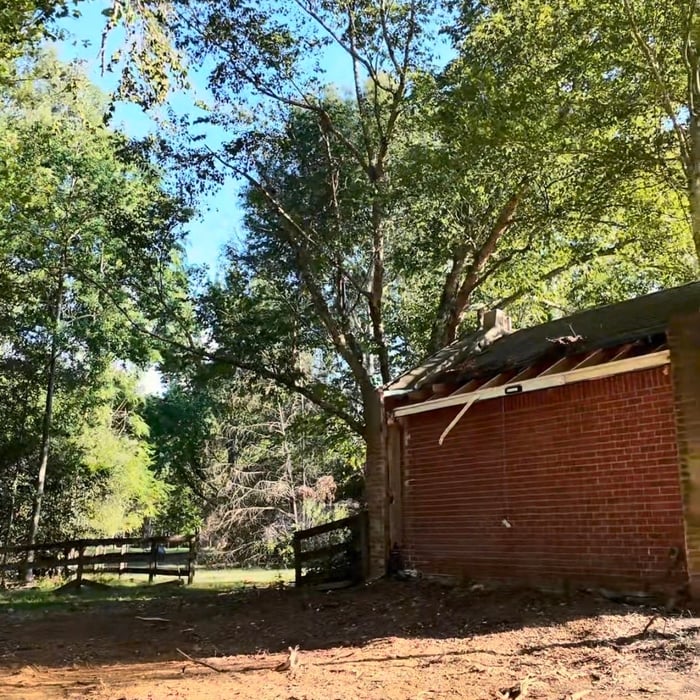
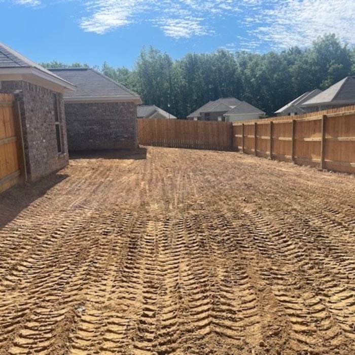
"⭐⭐⭐⭐⭐ Elevated Excavation did an outstanding job from start to finish. Great communication, professional equipment, and fast turnaround time. The crew showed up on time, kept the property clean, and delivered quality work exactly as promised. If you need land clearing, demolition, excavation, or storm cleanup services, I highly recommend Elevated Excavation."
Brush Clearing
Brush Clearing
Brush Clearing
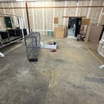
Start of Job
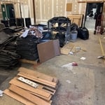
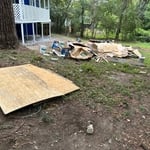
Job Completion

+4

1 neighbors recently requested a quote
Recommended by57%of homeowners
Patrick's Precision Land Management
New to Angi
Building Site - Preparation and Clearing

Serving Cleary, MS and surrounding areas

Approved

In business since 2022

Free estimates

Emergency services offered

Patricks Precision Land Management is committed to excellence in every aspect of our business. We uphold a standard of integrity bound by fairness, honesty, and personal responsibility. Our distinction is the quality of service we bring to our customers. Accurate knowledge of our trade combined with ability is what makes us true professionals. Above all, we are watchful of our customers' interests, and make their concerns the basis of our business.

Avatar for Bates Land And Timber
Bates Land And Timber
New to Angi
Building Site - Preparation and Clearing

Serving Cleary, MS and surrounding areas

Approved

In business since 2020

Free estimates

Credit card accepted

Bates Land and Timber is committed to excellence in every aspect of our business. We uphold a standard of integrity bound by fairness, honesty, and personal responsibility. Our distinction is the quality of service we bring to our customers. Accurate knowledge of our trade combined with ability is what makes us true professionals. Above all, we are watchful of our customers' interests, and make their concerns the basis of our business.

Response time2 days
...
Showing 1-10 of 74
Land Clearing Services questions, answered by experts

A land survey defines and records the physical aspects of a property, including its boundaries, dimensions, easements, features, and sometimes topographical information. In contrast, a land appraisal determines the property's monetary value. While an appraiser will often consult a land survey to understand the property's physical specifications, the survey itself does not determine the land's value.

If you’re planning to dig on your property, you’ll need to check for underground utility lines. Call the national call-before-you-dig 811 number. Once connected to an operator, you can schedule a site visit to mark underground lines. This way, you won’t accidentally dig into pipes and can cause major (read: costly) issues.

When considering the price of drilling a well, factor in how much you’ll save in water costs per year. The average family of four uses 100 gallons of water per person per day in the U.S. With a private water well, you can save hundreds each year.

Wells are also environmentally friendly. You don’t need to worry about drinking water treated with chemicals. Talk to at least three well pump contractors in your area. They’ll be able to tell you more about your options, give you different quotes, and discuss the biggest concerns.

The small lines on the tape measure either indicate inches, fractions of an inch, or centimeters and millimeters. On the imperial unit side (aka the inches side), the longest lines indicate inches, followed by the next shortest lines that indicate a half-inch, and then the quarter, eighth, and sixteenth-inch. On the metric side, the lines break down meters, centimeters, and millimeters.

A land survey includes the layout of a single property, including precise measurements and to-scale drawings of boundary lines, land improvements, and sometimes other features, like topography and drainage information. A plat map includes the layouts and boundary lines of several adjacent plots and basic structure measurements. Surveys are normally more valuable for homeowners and buyers, and plat maps are for governmental use.
The Cleary, MS homeowners’ guide to land clearing services

From average costs to expert advice, get all the answers you need to get your job done.