


Top-rated land clearing pros.

Get matched with top land clearing pros in Morton, MS

Enter your zip and get matched with up to 5 pros

Need a pro for your land clearing project in Morton, MS?

Select your specific project to find the pro for you.

TRUSTED BY MORTON, MS HOMEOWNERS

  • Average homeowner rating star icon4.5
    Average homeowner rating
  • Verified reviews icon19
    Verified land clearing services reviews

Find Land clearing pros in Morton

Avatar for Sandhill Services
Sandhill Services
5.0(
12
)
Building Site - Preparation and Clearing

Serving Morton, MS and surrounding areas

In business since 2023

Free estimates

Offers commercial services

"They completed the job on time and did everything I asked for. They were good and all the finishing touches and left things better than they found them. Would recommend them to anyone in the future for site clearing or excavation."
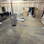
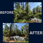
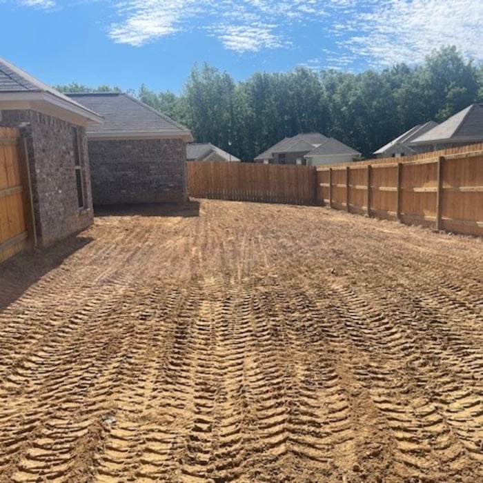
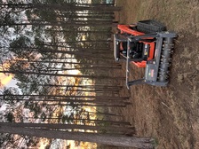
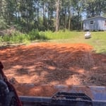
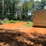
Before and after
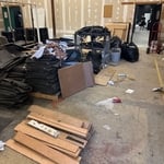
Before and after
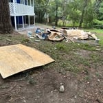
Before and after
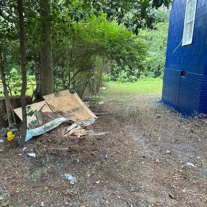
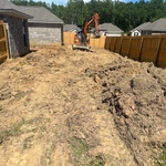
During sod removal
Job completed

+3

Response time11 hrs
Recommended by75%of homeowners
Avatar for Thigpen Septic Tank Service
Thigpen Septic Tank Service
4.7(
55
)
Building Site - Preparation and ClearingBuilding Site - Preparation and Clearing - For Business

Serving Morton, MS and surrounding areas

Credit card accepted

"Very professional service. Price was as quoted and less than local competitors. Showed up a little late but contacted us to let us know he was running behind first. Took about an hour to complete the work. Would definitely use them again."
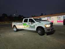
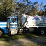
Truck
Truck & Jerrys
Truck door & Jerrys
Truck
Additional Photos

+5

Recommended by96%of homeowners
Showing 1-10 of 38
Land Clearing Services questions, answered by experts

A boundary survey measures the boundary lines of the property, only the length of each property line and their locations. A land survey includes a more in-depth measurement of the property, including the heights and depths of the terrain measured by a topographic survey. A boundary survey is typically the most cost-effective method for marking and measuring property lines.

Professional well contractors may use electromagnetic mapping to look for places with a high likelihood of water. Water access can vary significantly, even on the same property, so it can be difficult to know where to drill if you don’t have specialized tools to look for water.

Measure from zero on a measuring tape by placing the metal hook right up against the edge of what you need to measure. You can also latch the hook onto an open edge—of, say, a table—to accurately measure as well. If you begin at the 1-inch mark, you'll need to subtract an inch from your total.

There are a couple of ways you can determine the depth of your well. One method is to use a device called a well sounder. This tool has a long measuring tape containing a sensor to alert you once the end reaches the water. 

Or you can DIY it by using a long tape measure with a half-filled bottle of water attached to it. Lower the tape measure into your well. Once you feel tension on the tape, you’ll know the bottle has reached your static water level. This will give you an approximate idea of your well’s depth.

This is fairly rare, but sometimes the local government or a group like a historical society will label a tree as a landmark, or historical item. These designations almost always come with a small, on-site plaque for identification, but you should also be able to look up protected trees in your area on a city website or similar list. If the tree in question is a landmark, call your local government and ask how to proceed before making any plans.

The Morton, MS homeowners’ guide to land clearing services

From average costs to expert advice, get all the answers you need to get your job done.