Get matched with top land surveyors in Proctor, MN
Enter your zip and get matched with up to 5 pros
Need a pro for your land surveying project in Proctor, MN?
Verified Reviews for Land Surveying pros in Proctor, MN
*The Angi rating for Land Surveying companies in Proctor, MN is a rating based on verified reviews from our community of homeowners who have used these pros to meet their Land Surveying needs.
*The HomeAdvisor rating for Land Surveying companies in Proctor, MN is a rating based on verified reviews from our community of homeowners who have used these pros to meet their Land Surveying needs.
Last update on December 04, 2025
Find Land surveyors in Proctor

Northwestern Surveying and Engineering, Inc.
Northwestern Surveying and Engineering, Inc.
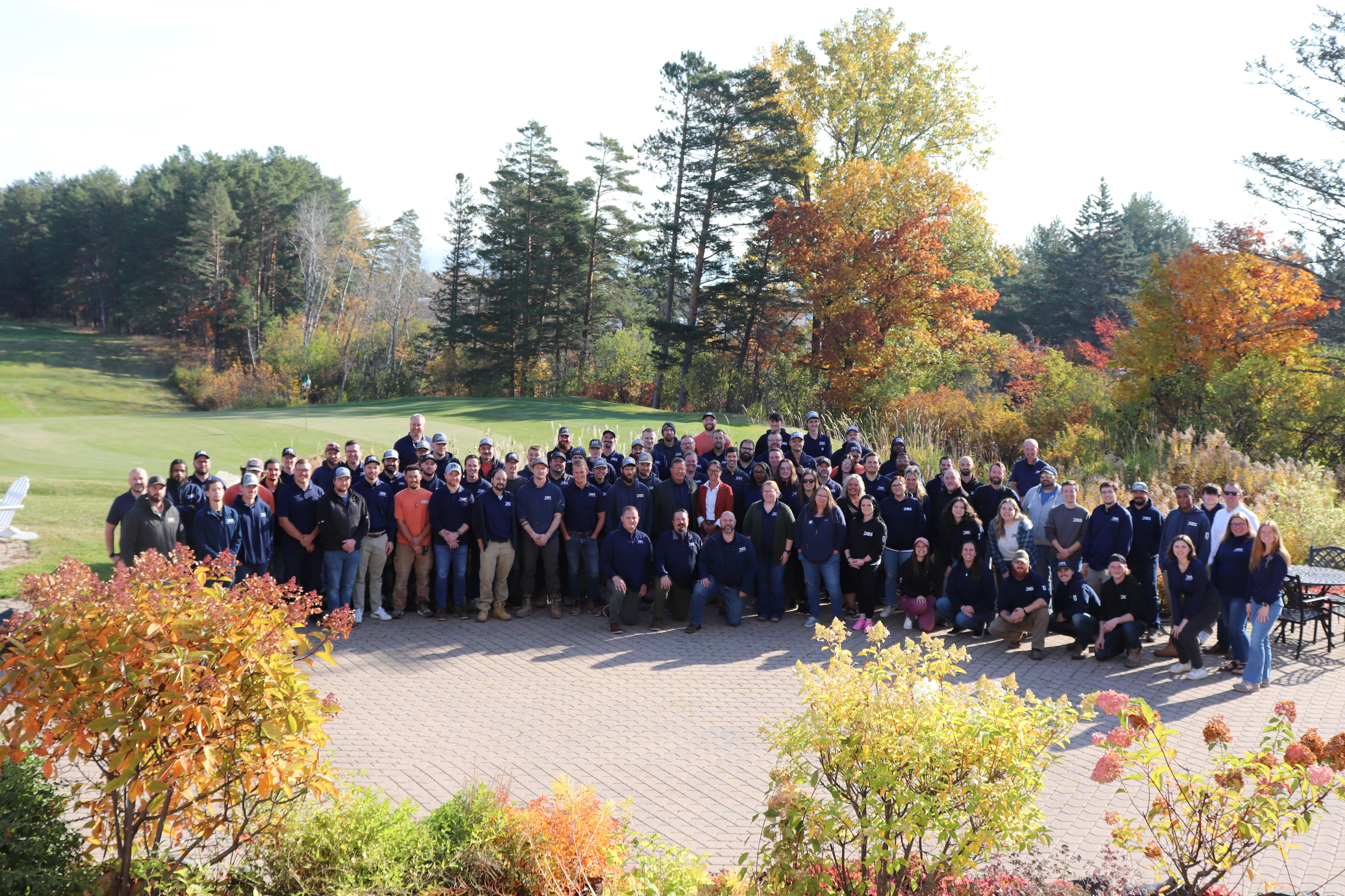
Northwestern Surveying and Engineering has been providing fast, accurate, and reasonably priced surveys since 1998. We have a large talent pool including surveyors, engineers, safety specialists, and environmental technicians. Let us be a part of your next project and we'll make sure you get what you need to get the job done right.
Northwestern Surveying and Engineering has been providing fast, accurate, and reasonably priced surveys since 1998. We have a large talent pool including surveyors, engineers, safety specialists, and environmental technicians. Let us be a part of your next project and we'll make sure you get what you need to get the job done right.
JPJ Engineering, Inc.
JPJ Engineering, Inc.
JPJ Engineering is a professional land survey firm that provides surveying services to public and private clients throughout St. Louis County and much of the Northland. Common property survey requests: -Mark property lines and/or corners -Subdivide a parcel of land - Prepare a property map for a planning & zoning or building permit application for a residential house, garage, or other building - Create or vacate a Right of Way or Easement - Elevation Certificate or ELOMA - Topographic Survey Visit our website for more information and to request a free quote at www.jpjeng.com
JPJ Engineering is a professional land survey firm that provides surveying services to public and private clients throughout St. Louis County and much of the Northland. Common property survey requests: -Mark property lines and/or corners -Subdivide a parcel of land - Prepare a property map for a planning & zoning or building permit application for a residential house, garage, or other building - Create or vacate a Right of Way or Easement - Elevation Certificate or ELOMA - Topographic Survey Visit our website for more information and to request a free quote at www.jpjeng.com
Soil & Water-Environmental Consulting
Soil & Water-Environmental Consulting
Licensed Professional Soil Scientist (States of MN and WI). Certified Professional Soil Scientist (ARCPACS). Certified Professional Wetland Scientist (SWSCPI). Wetland Delineator, Certified (MN)
Licensed Professional Soil Scientist (States of MN and WI). Certified Professional Soil Scientist (ARCPACS). Certified Professional Wetland Scientist (SWSCPI). Wetland Delineator, Certified (MN)
The Proctor, MN homeowners’ guide to land surveying services
From average costs to expert advice, get all the answers you need to get your job done.
 •
•Discover site preparation cost estimates, including average prices, cost factors, and tips to help homeowners budget for their next project.

A land survey can determine your property’s borders and settle property disputes. Learn how much a land survey costs and what can affect the price.

Just bought a plot of land and need to get it build-ready? Learn how much it costs to clear land to gauge your initial budget before you break ground.

Boundary surveys and topographic surveys provide important information about a property. Learn the differences between boundary and topographic surveys.

Not sure what kind of property survey you need? Learn about the differences between a land survey vs. a boundary survey to get started.

Real estate transactions often require a survey, but who pays for it? Learn who pays for a land survey in most cases and some exceptions to the norm.


