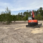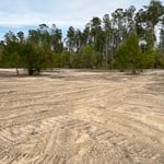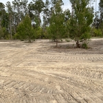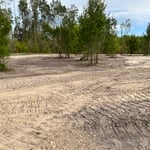


Top-rated land clearing pros.

Best land clearing pros near Citra, FL

Enter your zip and get matched with up to 5 pros

Need a pro for your land clearing project in Citra, FL?

Select your specific project to find the pro for you.

TRUSTED BY CITRA, FL HOMEOWNERS

  • Average homeowner rating star icon4.9
    Average homeowner rating
  • Verified reviews icon85
    Verified land clearing services reviews

Top-Rated Land clearing pros in Citra - Updated Nov 2026

Avatar for PRO GRADE CIVIL LLC
PRO GRADE CIVIL LLC
5.0(
3
)
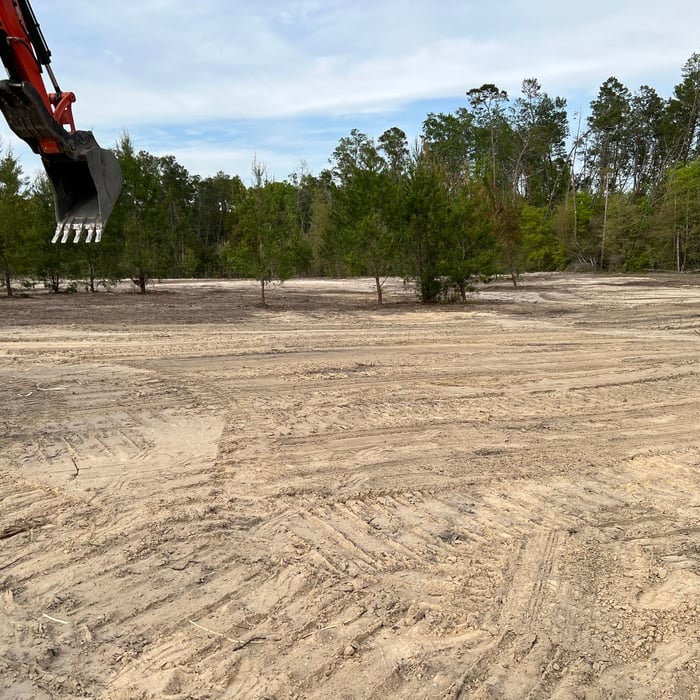
Building Site - Preparation and ClearingBuilding Site - Preparation and Clearing - For Business

Serving Citra, FL and surrounding areas

Approved

In business since 2024

Free estimates

Offers commercial services

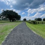
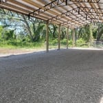
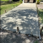
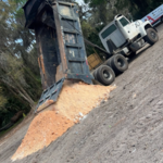
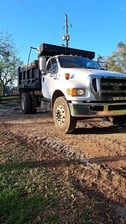
"James and his crew came and prepped a building site for my company, the 40x40 crushed and compacted rock pad was finished less than 24 hours from the time i received the quote. Very professional and knowledgeable crew. Will definitely rehire them for the next project."
Middlesburg
Driveway
1 neighbors recently requested a quote
...
Showing 1-10 of 102
Land Clearing Services FAQs, answered by experts

ALTA/ACSM surveys are the most comprehensive type of land survey and, as such, tend to be the most expensive. These surveys have standardized guidelines and reports and are used in many kinds of real estate transactions to ensure consistent and accurate information is available for properties.

If you can’t find any records online, you’ll need to contact your county clerk’s office to do further research. They should have property records on file, or can at least point you in the right direction of who to contact. You can also speak with your neighbors about when their houses were built because they were likely built around the same time.

A boundary survey measures the boundary lines of the property, only the length of each property line and their locations. A land survey includes a more in-depth measurement of the property, including the heights and depths of the terrain measured by a topographic survey. A boundary survey is typically the most cost-effective method for marking and measuring property lines.

The small lines on the tape measure either indicate inches, fractions of an inch, or centimeters and millimeters. On the imperial unit side (aka the inches side), the longest lines indicate inches, followed by the next shortest lines that indicate a half-inch, and then the quarter, eighth, and sixteenth-inch. On the metric side, the lines break down meters, centimeters, and millimeters.

With proper training and experience, reading blueprints is fairly straightforward and not very difficult. If you don’t have the necessary knowledge to interpret the symbols, abbreviations, and other notations used, blueprints may not make sense. Learning to read blueprints can help you understand the construction process and keep you more involved and informed when you’re building a house.

The Citra, FL homeowners’ guide to land clearing services

From average costs to expert advice, get all the answers you need to get your job done.