


Top-rated land clearing pros.

Get matched with top land clearing pros in Nucla, CO

Enter your zip and get matched with up to 5 pros

Need a pro for your land clearing project in Nucla, CO?

Select your specific project to find the pro for you.

Find Land clearing pros in Nucla

Avatar for Gingerich Concrete & Excavation
Gingerich Concrete & Excavation
4.6(
30
)
Building Site - Preparation and ClearingBuilding Site - Preparation and Clearing - For Business

Serving Nucla, CO and surrounding areas

Approved

In business since 2013

Free estimates

Offers commercial services

Gingerich Concrete & Excavation is the leader in providing our customers with the highest quality service in an honest, efficient, and professional way. Our pledge is to create successful relationships with our customers, employees and community by building trust, treating every project with the utmost integrity and exceeding expectations. We look forward to working with you!\n

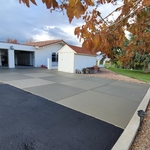
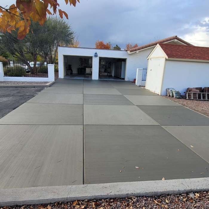
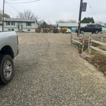
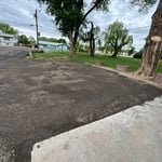
Stamped concrete apron
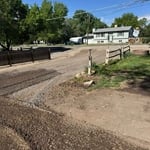
Driveways
Driveways
1 neighbors recently requested a quote
Recommended by84%of homeowners

Showing 1-10 of 43
Land Clearing Services questions, answered by experts

If you’re planning to dig on your property, you’ll need to check for underground utility lines. Call the national call-before-you-dig 811 number. Once connected to an operator, you can schedule a site visit to mark underground lines. This way, you won’t accidentally dig into pipes and can cause major (read: costly) issues.

A professional land surveyor ensures accurate property boundaries and prevent legal disputes.

Land survey reports have a boatload of information relevant to several scenarios. Here are the types of information contained with a survey, though it depends on your chosen type of land survey. Exact boundaries and dimensions of a given property General topography, including both natural and artificial landmarks Location of utility fixtures, like water mains Confirmation of any easements or encroachments on a piece of property Assessment of land elevation to buy flood insurance Updated information to add to a pre-existing property map

A few different types of land surveys can help determine certain features and boundaries of your property. These include:

  • Boundary surveys describe the actual borders of a property. These are generally required when trying to get construction permits issued. 

  • Location surveys provide much of the same information as a boundary survey but also include in-depth information about any improvements made to your property. 

  • Mortgage location surveys are usually required by lenders and title companies before financing or offering an insurance policy. 

  • Site-planning surveys are done before applying for building permits and can be issued before any major home improvements. 

  • Topographic surveys provide a formal map of land elevations. It can also describe the location and size of natural features and any land improvements.

The small lines on the tape measure either indicate inches, fractions of an inch, or centimeters and millimeters. On the imperial unit side (aka the inches side), the longest lines indicate inches, followed by the next shortest lines that indicate a half-inch, and then the quarter, eighth, and sixteenth-inch. On the metric side, the lines break down meters, centimeters, and millimeters.

The Nucla, CO homeowners’ guide to land clearing services

From average costs to expert advice, get all the answers you need to get your job done.