







Top-rated land clearing pros.

Get matched with top land clearing pros in Eckert, CO

Enter your zip and get matched with up to 5 pros

Need a pro for your land clearing project in Eckert, CO?

Select your specific project to find the pro for you.

TRUSTED BY ECKERT, CO HOMEOWNERS

  • Average homeowner rating star icon4.6
    Average homeowner rating
  • Verified reviews icon45
    Verified land clearing services reviews

Find Land clearing pros in Eckert

Avatar for Gingerich Concrete & Excavation
Gingerich Concrete & Excavation
4.6(
30
)
Building Site - Preparation and ClearingBuilding Site - Preparation and Clearing - For Business

Serving Eckert, CO and surrounding areas

Approved

In business since 2013

Free estimates

Offers commercial services

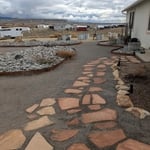
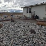
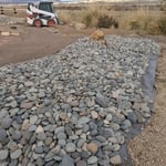
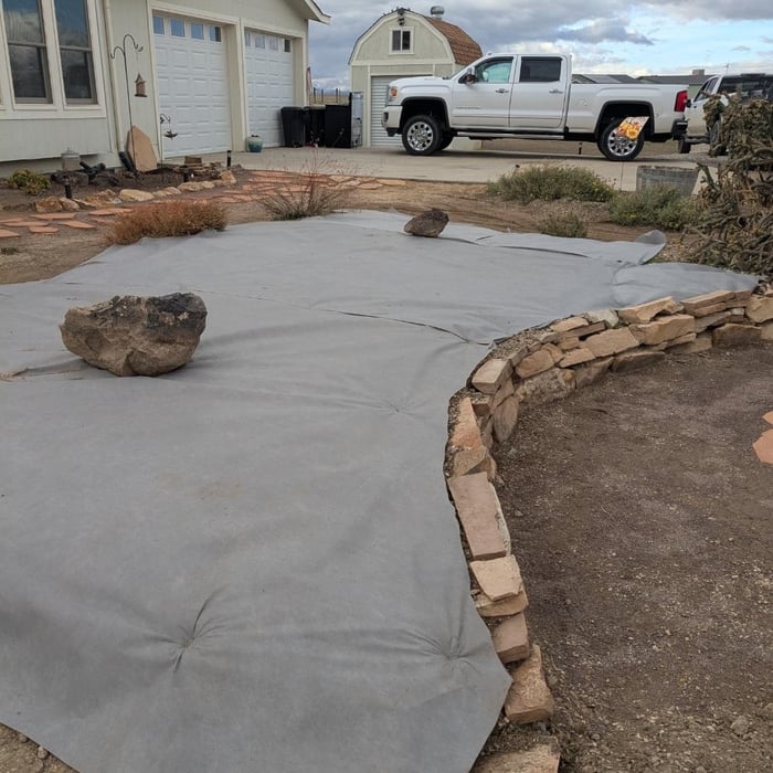
Gingerich Concrete & Excavation is the leader in providing our customers with the highest quality service in an honest, efficient, and professional way. Our pledge is to create successful relationships with our customers, employees and community by building trust, treating every project with the utmost integrity and exceeding expectations. We look forward to working with you!\n

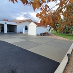
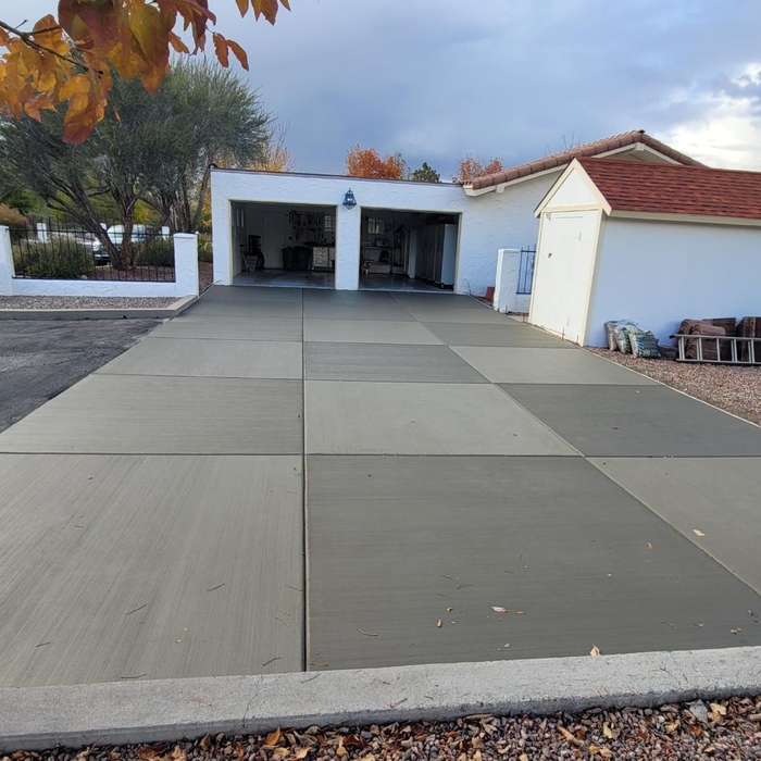
Stamped concrete apron
Driveways
Driveways
Recommended by84%of homeowners
...
Showing 1-10 of 55
Land Clearing Services questions, answered by experts

This is fairly rare, but sometimes the local government or a group like a historical society will label a tree as a landmark, or historical item. These designations almost always come with a small, on-site plaque for identification, but you should also be able to look up protected trees in your area on a city website or similar list. If the tree in question is a landmark, call your local government and ask how to proceed before making any plans.

The small lines on the tape measure either indicate inches, fractions of an inch, or centimeters and millimeters. On the imperial unit side (aka the inches side), the longest lines indicate inches, followed by the next shortest lines that indicate a half-inch, and then the quarter, eighth, and sixteenth-inch. On the metric side, the lines break down meters, centimeters, and millimeters.

A land survey includes the layout of a single property, including precise measurements and to-scale drawings of boundary lines, land improvements, and sometimes other features, like topography and drainage information. A plat map includes the layouts and boundary lines of several adjacent plots and basic structure measurements. Surveys are normally more valuable for homeowners and buyers, and plat maps are for governmental use.

Professional well contractors may use electromagnetic mapping to look for places with a high likelihood of water. Water access can vary significantly, even on the same property, so it can be difficult to know where to drill if you don’t have specialized tools to look for water.

A professional land surveyor ensures accurate property boundaries and prevent legal disputes.

The Eckert, CO homeowners’ guide to land clearing services

From average costs to expert advice, get all the answers you need to get your job done.