
Get matched with top land surveyors in Mill Valley, CA
Enter your ZIP and get matched with up to 5 pros
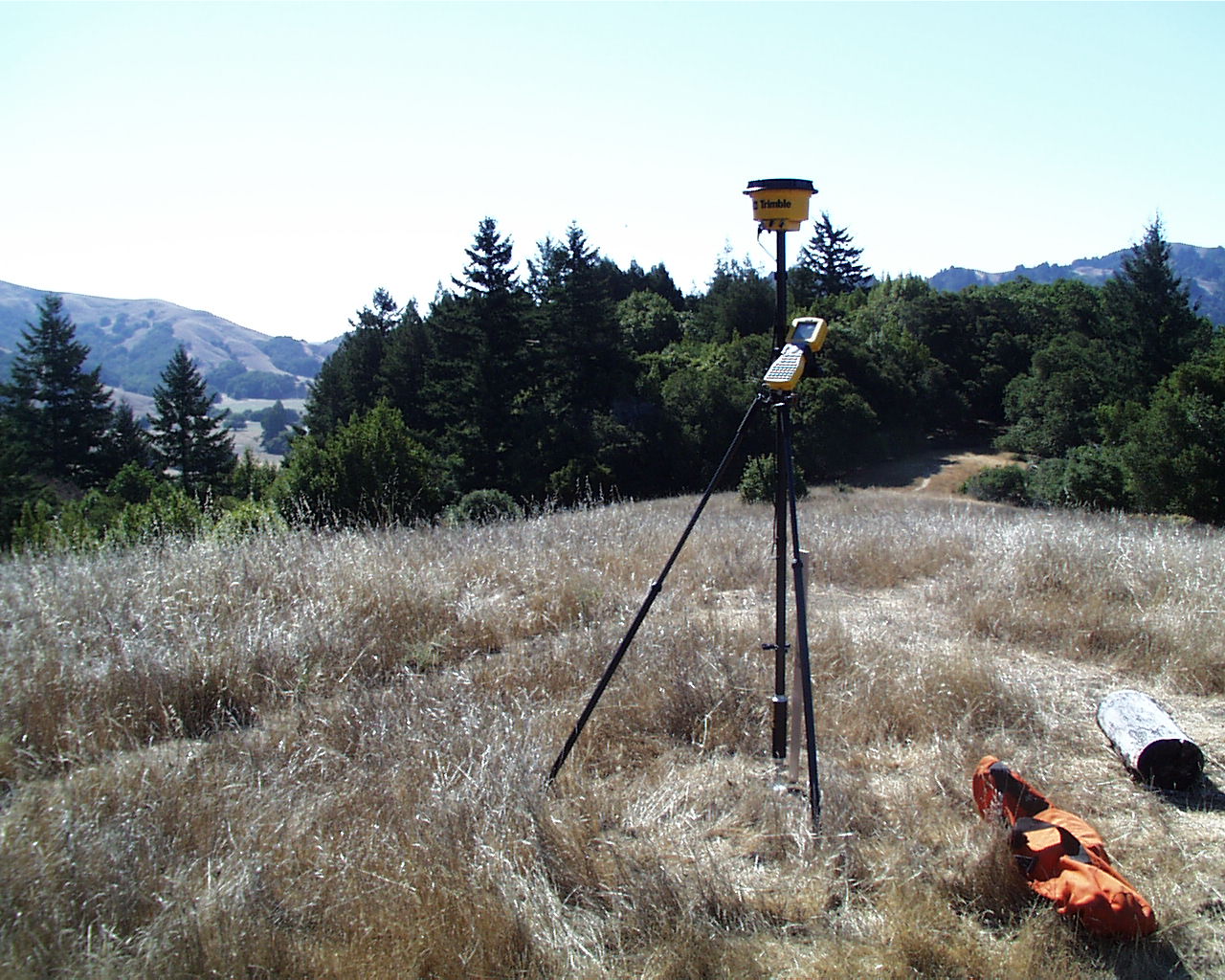
Need a pro for your land surveying project in Mill Valley, CA?
Select your specific project to find the pro for you.
TRUSTED BY MILL VALLEY, CA HOMEOWNERS
 4 Average homeowner rating
 12 Verified land surveying services reviews
Verified Reviews for Land Surveying pros in Mill Valley, CA
*The Angi rating for Land Surveying companies in Mill Valley, CA is a rating based on verified reviews from our community of homeowners who have used these pros to meet their Land Surveying needs.
*The HomeAdvisor rating for Land Surveying companies in Mill Valley, CA is a rating based on verified reviews from our community of homeowners who have used these pros to meet their Land Surveying needs.
Last update on December 02, 2025


Find Land surveyors in Mill Valley

Pridmore & Company
Pridmore & Company
2013 years of experience
Pridmore & Company offers all aspects of professional land surveying services as well as consulting for land planning and development. Coming from a family of builders, engineers and contractors with deep roots in the Napa area, we understand how complex the development and permitting processes can be. For this reason, we truly enjoy assisting our clients with their unique projects and needs. We aim to provide high-quality work, knowledge and advice so that your project will be completed in the most efficient and cost-effective manner possible. Whether you are looking to get your property/project surveyed, or just need some advice and/or direction for your development project, please feel free to reach out. We are happy to help you!
"It went perfect. They came out, they did the surveying and they send out a result to me and they were super friendly"
Ryan H on July 2020
Bryan G. Taylor (BGT) Land Surveyors
Bryan G. Taylor (BGT) Land Surveyors
Customers say: Quality work
Recommended by 100% of Angi customers
Recommended by 100% of HomeAdvisor customers
Land Surveying Services
"I have done many projects with Bryan and Lillian. They are super accurate and comprehensive in their work."
Andrea V on February 2022
Land Surveying Services
"I have done many projects with Bryan and Lillian. They are super accurate and comprehensive in their work."
Andrea V on February 2022

Lea and Braze Engineering
Lea and Braze Engineering
Customers say: Quick response
Recommended by 100% of Angi customers
Recommended by 100% of HomeAdvisor customers
Lea and Braze Engineering is a Consulting Civil Engineering and Surveying firm. We have been active in the San Francisco Bay Area for over twenty-five years, working as team members on construction and development projects of varying sizes. We have grown through the years from a small start-up to a solid medium-sized company with a positive working environment and a reputation for high-quality design and surveying work. Our areas of expertise and experience include subdivision and land planning, custom homes and estates (new and remodel), commercial development and institutional design for schools.
Lea and Braze Engineering is a Consulting Civil Engineering and Surveying firm. We have been active in the San Francisco Bay Area for over twenty-five years, working as team members on construction and development projects of varying sizes. We have grown through the years from a small start-up to a solid medium-sized company with a positive working environment and a reputation for high-quality design and surveying work. Our areas of expertise and experience include subdivision and land planning, custom homes and estates (new and remodel), commercial development and institutional design for schools.
Oberkamper & Associates
Oberkamper & Associates
1961 years of experience
We offer Land Surveying services including: SB9 Lot Splits, FEMA Elevations Certs, Boundary Surveys, Topographic Surveys, Construction Staking and more! Give us a call or email and we can take care of your building needs.
We offer Land Surveying services including: SB9 Lot Splits, FEMA Elevations Certs, Boundary Surveys, Topographic Surveys, Construction Staking and more! Give us a call or email and we can take care of your building needs.
American Land Surveying Inc
American Land Surveying Inc
1975 years of experience
Providing Land Surveying Services to the Bay Area Since 1975
Providing Land Surveying Services to the Bay Area Since 1975

Hogan Land Services
Hogan Land Services
2003 years of experience
Hogan Land Services is on your side. Think of us as a one-stop shop for property owners who want to do something with their land. From planning to engineering to permitting and more, we’ve got your back with advice, expertise and services. There’s really nothing we can’t help with! So, tell us, what’s your land development goal? A Hogan Land Services team member can help you determine the path–and the next steps.
"Never heard from the company."
Danny G on November 2020
Fullen Surveying & Mapping,Inc.
Fullen Surveying & Mapping,Inc.
2006 years of experience
We provide all aspects of Land Surveying for both commercial and residential customers.
We provide all aspects of Land Surveying for both commercial and residential customers.
BLS Surveying & Mapping
BLS Surveying & Mapping
2014 years of experience
small personal firm with 3 family employees - 40 years of experience (from small jobs to transportation infrastructure level) , Professionally Licensed for 22 years, quality cost effective services
small personal firm with 3 family employees - 40 years of experience (from small jobs to transportation infrastructure level) , Professionally Licensed for 22 years, quality cost effective services
Solar Land Partners
Solar Land Partners
2009 years of experience
SLP is a Solar Investment Professionals Company,Solar Farm Development Company made up of Energy utility in the form of Solar Investment Acquisition and Due Diligence Solar Investment Project in California.
SLP is a Solar Investment Professionals Company,Solar Farm Development Company made up of Energy utility in the form of Solar Investment Acquisition and Due Diligence Solar Investment Project in California.

Willis Land Surveying
Willis Land Surveying
2006 years of experience
Willis Land Surveying is a professional land surveying company providing quality work, on time and on budget for residential, commercial, city, county and state owned properties in the North and South Bay.
Willis Land Surveying is a professional land surveying company providing quality work, on time and on budget for residential, commercial, city, county and state owned properties in the North and South Bay.
Land Surveying questions, answered by experts
The Mill Valley, CA homeowners’ guide to land surveying services
From average costs to expert advice, get all the answers you need to get your job done.
 •
•Discover site preparation cost estimates, including average prices, cost factors, and tips to help homeowners budget for their next project.

A land survey can determine your property’s borders and settle property disputes. Learn how much a land survey costs and what can affect the price.

Just bought a plot of land and need to get it build-ready? Learn how much it costs to clear land to gauge your initial budget before you break ground.

A land surveyor can perform a land survey and help clarify your property boundaries and features. Use this guide to find the right professional.

Real estate transactions often require a survey, but who pays for it? Learn who pays for a land survey in most cases and some exceptions to the norm.

Land surveys provide an accurate record of your property. Learn how long a land survey is good for and when you should have your property resurveyed.
- Corte Madera, CA Land surveyors
- Sausalito, CA Land surveyors
- Larkspur, CA Land surveyors
- Kentfield, CA Land surveyors
- Greenbrae, CA Land surveyors
- Belvedere Tiburon, CA Land surveyors
- Belvedere, CA Land surveyors
- Tiburon, CA Land surveyors
- Ross, CA Land surveyors
- Stinson Beach, CA Land surveyors
- San Anselmo, CA Land surveyors
- Fairfax, CA Land surveyors
- San Rafael, CA Land surveyors
- Bolinas, CA Land surveyors
- Woodacre, CA Land surveyors
- Lagunitas, CA Land surveyors
- Richmond, CA Land surveyors
- San Pablo, CA Land surveyors
- El Cerrito, CA Land surveyors
- Albany, CA Land surveyors
- Novato, CA Land surveyors
- Kensington, CA Land surveyors
- Emeryville, CA Land surveyors
- El Sobrante, CA Land surveyors
- Daly City, CA Land surveyors
- Berkeley, CA Land surveyors
- Pinole, CA Land surveyors
- Brisbane, CA Land surveyors
- Colma, CA Land surveyors
- Plumbing in Mill Valley
- Roofing in Mill Valley
- Electrical in Mill Valley
- Tree Service in Mill Valley
- Kitchen And Bath Remodeling in Mill Valley
- Moving in Mill Valley
- Cleaning in Mill Valley
- Handyman Service in Mill Valley
- Flooring in Mill Valley
- Exterior Painting in Mill Valley
- Deck Maintenance in Mill Valley
- Computer Repair in Mill Valley
- Window Cleaning in Mill Valley
- Swimming Pools in Mill Valley
- Pest Control in Mill Valley
- Mailbox Repair in Mill Valley
- Landscaping in Mill Valley
- Lawn And Yard Work in Mill Valley
- Mold Testing And Remediation in Mill Valley
- Contractor in Mill Valley
- Pressure Washing in Mill Valley
- Siding in Mill Valley
- Landscaping Hardscaping And Pavers in Mill Valley
- Skylights in Mill Valley
- Concrete Repair in Mill Valley
- Home And Garage Organization in Mill Valley
- Small Appliance Repair in Mill Valley
- Garbage Collection in Mill Valley
- Carpet Cleaning in Mill Valley
- Cabinet Makers in Mill Valley
What do you need done? We’ll find top pros.
- 🌱 "Mow a small front yard"
- 🛠 "Fix a leaking pipe under the sink"
- 🏠 "Repair shingles on an asphalt roof"