






Top-rated land clearing pros.

Get matched with top land clearing pros in Bloomington, CA

Enter your zip and get matched with up to 5 pros

Need a pro for your land clearing project in Bloomington, CA?

Select your specific project to find the pro for you.

TRUSTED BY BLOOMINGTON, CA HOMEOWNERS

  • Average homeowner rating star icon4.4
    Average homeowner rating
  • Verified reviews icon400
    Verified land clearing services reviews

Find Land clearing pros in Bloomington

Avatar for Active Demolition
Active Demolition
4.5(
14
)
Building Site - Preparation and Clearing

Serving Bloomington, CA and surrounding areas

In business since 1977

Free estimates

Emergency services offered

"Great experience working with Active Demolition. All permits were obtained, the work was done without any "extras" added on. I would recomment Active Demolition to anyone that needs his services. Shirley W"
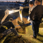
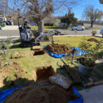
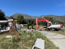
mark pool walls
Cabin Before Active
26,000 Sqft center
Tree & shrub Clearing
another pool demo

+18

Recommended by100%of homeowners
Showing 1-10 of 48
Land Clearing Services questions, answered by experts

You will find a collection of licensed land surveyors in your area. Your real estate agent or construction manager may also be able to recommend a trusted professional. When speaking with prospective pros in your area, ask the land surveyor if they are licensed in the state, have liability insurance, and can quote you a fee before starting.
A few different types of land surveys can help determine certain features and boundaries of your property. These include:

  • Boundary surveys describe the actual borders of a property. These are generally required when trying to get construction permits issued. 

  • Location surveys provide much of the same information as a boundary survey but also include in-depth information about any improvements made to your property. 

  • Mortgage location surveys are usually required by lenders and title companies before financing or offering an insurance policy. 

  • Site-planning surveys are done before applying for building permits and can be issued before any major home improvements. 

  • Topographic surveys provide a formal map of land elevations. It can also describe the location and size of natural features and any land improvements.

Property lines, building locations, and potential encroachments are mapped.

The small lines on the tape measure either indicate inches, fractions of an inch, or centimeters and millimeters. On the imperial unit side (aka the inches side), the longest lines indicate inches, followed by the next shortest lines that indicate a half-inch, and then the quarter, eighth, and sixteenth-inch. On the metric side, the lines break down meters, centimeters, and millimeters.
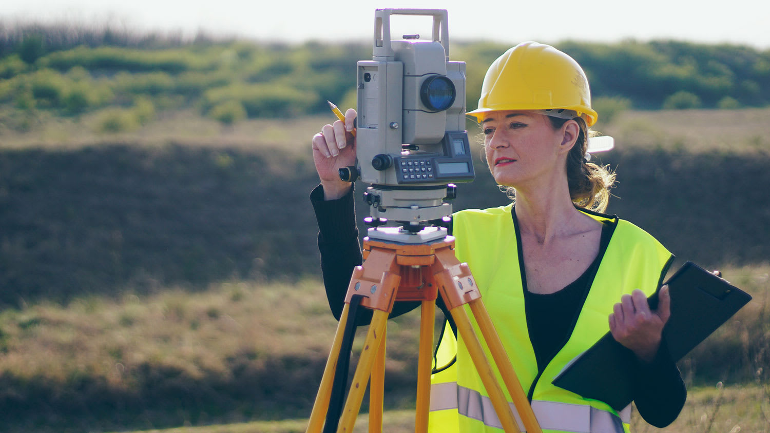

Professional well contractors may use electromagnetic mapping to look for places with a high likelihood of water. Water access can vary significantly, even on the same property, so it can be difficult to know where to drill if you don’t have specialized tools to look for water.

The Bloomington, CA homeowners’ guide to land clearing services

From average costs to expert advice, get all the answers you need to get your job done.