
Get matched with top land surveyors in Veradale, WA
Enter your ZIP and get matched with up to 5 pros
Need a pro for your land surveying project in Veradale, WA?
Select your specific project to find the pro for you.
Verified Reviews for Land Surveying pros in Veradale, WA
*The Angi rating for Land Surveying companies in Veradale, WA is a rating based on verified reviews from our community of homeowners who have used these pros to meet their Land Surveying needs.
*The HomeAdvisor rating for Land Surveying companies in Veradale, WA is a rating based on verified reviews from our community of homeowners who have used these pros to meet their Land Surveying needs.
Last update on December 05, 2025
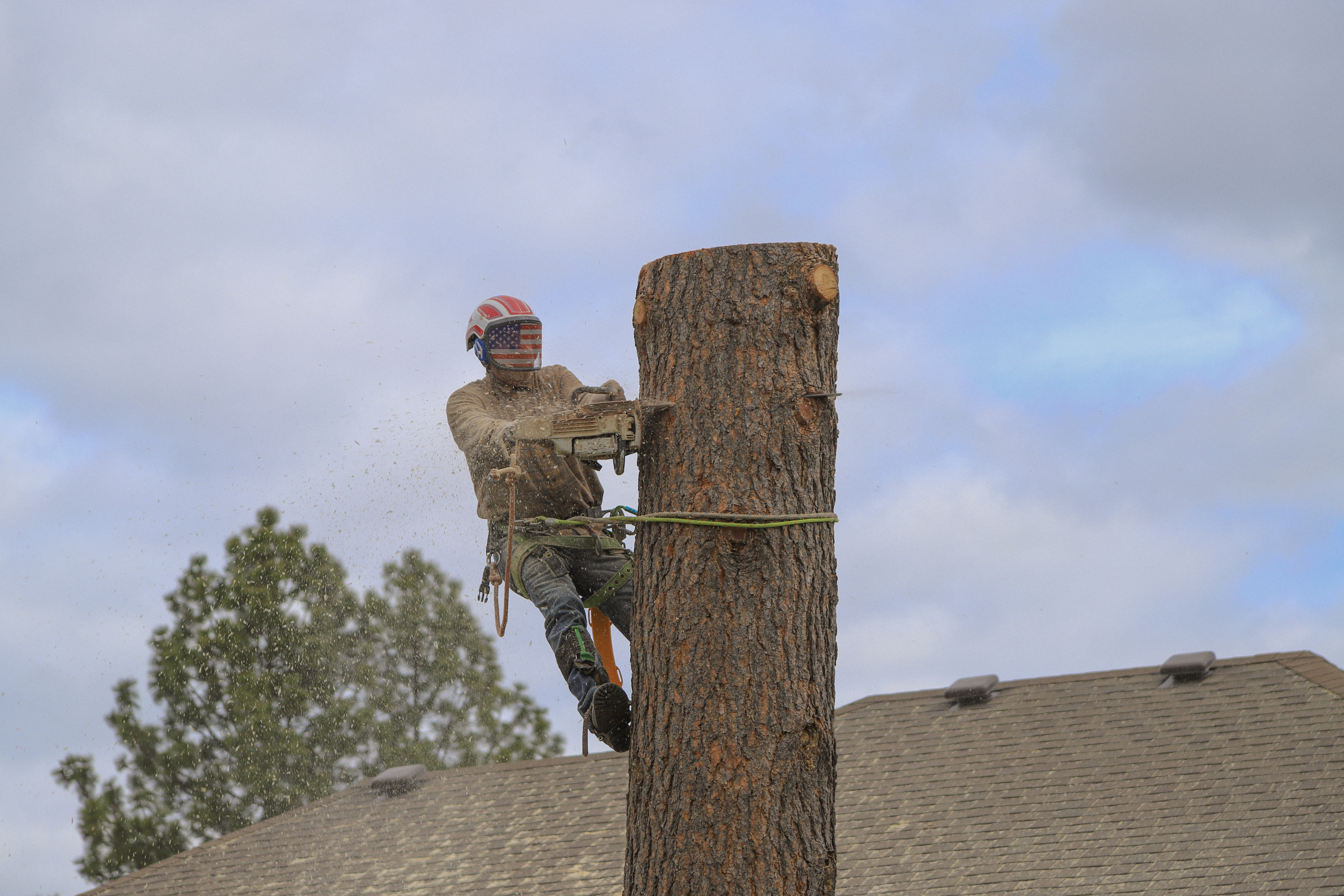
Find Land surveyors in Veradale
Blend Outdoor Design
Blend Outdoor Design
Blend is a Landscape Design firm located in the Spokane area working to provide the best landscape design services around. From full masterplans to deck designs, we are capable of tackling your design needs for many different scopes of work. We are familiar with the building process which allows us to design features that can fit a variety of budgets. Call us to meet and discuss your patio, firepit, pergola, outdoor kitchen, pool area, pergolas and much more.
Blend is a Landscape Design firm located in the Spokane area working to provide the best landscape design services around. From full masterplans to deck designs, we are capable of tackling your design needs for many different scopes of work. We are familiar with the building process which allows us to design features that can fit a variety of budgets. Call us to meet and discuss your patio, firepit, pergola, outdoor kitchen, pool area, pergolas and much more.
Cathcart Lawn Svc
Cathcart Lawn Svc
Free onsite estimate
Lanescape design business that will meet your every need and you will be happy using Cathcart lawn service a local young man who came from nothing to excellent lawn care. I proud to own.
Lanescape design business that will meet your every need and you will be happy using Cathcart lawn service a local young man who came from nothing to excellent lawn care. I proud to own.
Land Surveying questions, answered by experts
The Veradale, WA homeowners’ guide to land surveying services
From average costs to expert advice, get all the answers you need to get your job done.
 •
•Discover site preparation cost estimates, including average prices, cost factors, and tips to help homeowners budget for their next project.

A land survey can determine your property’s borders and settle property disputes. Learn how much a land survey costs and what can affect the price.

Just bought a plot of land and need to get it build-ready? Learn how much it costs to clear land to gauge your initial budget before you break ground.

Boundary surveys and topographic surveys provide important information about a property. Learn the differences between boundary and topographic surveys.

Real estate transactions often require a survey, but who pays for it? Learn who pays for a land survey in most cases and some exceptions to the norm.

Knowing where your property lines are can help settle a dispute with a neighbor and even prevent an ugly legal battle. This guide will help you draw the line.