




Top-rated land surveyors.

Get matched with top land surveyors in Raphine, VA

Enter your zip and get matched with up to 5 pros

Need a pro for your land surveying project in Raphine, VA?

Select your specific project to find the pro for you.

Find Land surveyors in Raphine

Avatar for Livengood Electrical LLC
Livengood Electrical LLC
4.4(
18
)
Land Surveyor

Serving Raphine, VA and surrounding areas

In business since 2019

Free estimates

Emergency services offered

"The job went great! Livengood Electric really shined when it came to getting this job done. He went out of his way to make sure we had a beautiful new electrical service that will last for years to come. And also we will be ready next time the power goes out! Thanks again Jake, you did a great job!"

Electrical Project
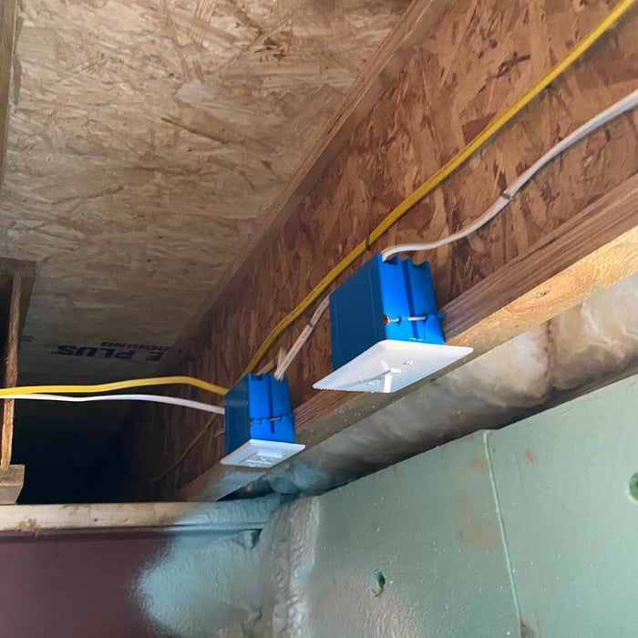
Vanity lighting, fan, can lights, gfci receptacle and switches.
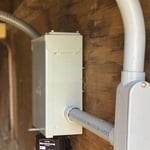
50 amp breaker panel with surge protector
Electrical Project
Electrical Project

+24

Recommended by93%of homeowners

Land Surveying questions, answered by experts

With proper training and experience, reading blueprints is fairly straightforward and not very difficult. If you don’t have the necessary knowledge to interpret the symbols, abbreviations, and other notations used, blueprints may not make sense. Learning to read blueprints can help you understand the construction process and keep you more involved and informed when you’re building a house.

If you or your mortgage lender think your land survey needs to be more accurate, double-check the survey report and get at least a second opinion from the original surveyor and an inspector, if possible. Although it’s unlikely, even reputable surveying companies can make mistakes. An inaccurate survey can cause problems down the road in the case of any property line disputes, so it’s best to resolve any inaccuracies as quickly as possible.

A boundary survey measures the boundary lines of the property, only the length of each property line and their locations. A land survey includes a more in-depth measurement of the property, including the heights and depths of the terrain measured by a topographic survey. A boundary survey is typically the most cost-effective method for marking and measuring property lines.

Surveys completed by licensed surveyors can be recorded with a local surveying records office, and in most cases, they will be. Filing survey reports categorize them as legal documents, and they can be used whenever legal documentation of your property’s boundaries is needed. While you’re not required to file survey documents, it’s a good idea to do so. 

There are a couple of ways you can determine the depth of your well. One method is to use a device called a well sounder. This tool has a long measuring tape containing a sensor to alert you once the end reaches the water. 

Or you can DIY it by using a long tape measure with a half-filled bottle of water attached to it. Lower the tape measure into your well. Once you feel tension on the tape, you’ll know the bottle has reached your static water level. This will give you an approximate idea of your well’s depth.

The Raphine, VA homeowners’ guide to land surveying services

From average costs to expert advice, get all the answers you need to get your job done.