
Get matched with top land surveyors in Bayou Vista, TX
Enter your ZIP and get matched with up to 5 pros
Need a pro for your land surveying project in Bayou Vista, TX?
Select your specific project to find the pro for you.
TRUSTED BY BAYOU VISTA, TX HOMEOWNERS
 4.2 Average homeowner rating
 22 Verified land surveying services reviews
Verified Reviews for Land Surveying pros in Bayou Vista, TX
*The Angi rating for Land Surveying companies in Bayou Vista, TX is a rating based on verified reviews from our community of homeowners who have used these pros to meet their Land Surveying needs.
*The HomeAdvisor rating for Land Surveying companies in Bayou Vista, TX is a rating based on verified reviews from our community of homeowners who have used these pros to meet their Land Surveying needs.
Last update on December 01, 2025


Find Land surveyors in Bayou Vista

MARIO SANCHEZ & ASSOCIATES CORP.
MARIO SANCHEZ & ASSOCIATES CORP.
Customers say: Quick response
Recommended by 100% of Angi customers
Recommended by 100% of HomeAdvisor customers
MARIO SANCHEZ & ASSOCIATES CORP. is a one stop shop for Real Estate Development. Our strength is in our relationships with Architects, Engineers, and Contractors. By collaborating together we can provide a turn key development project in less time and on budget. Our services include but are not limited to: 1. FINANCING 2.LAND ACQUISITION 3.SCHEMATIC DESIGN 4.DESIGN DEVELOPMENT 5.CONSTRUCTION DOCUMENTS 6.PERMITS AND PROCESS 7.CONSTRUCTION
"It went great! Mario is very professional and his work ethic is unmatched. Highly recommend!"
Nicole S on October 2025
Worthey Metrology Services
Worthey Metrology Services
4 years of experience
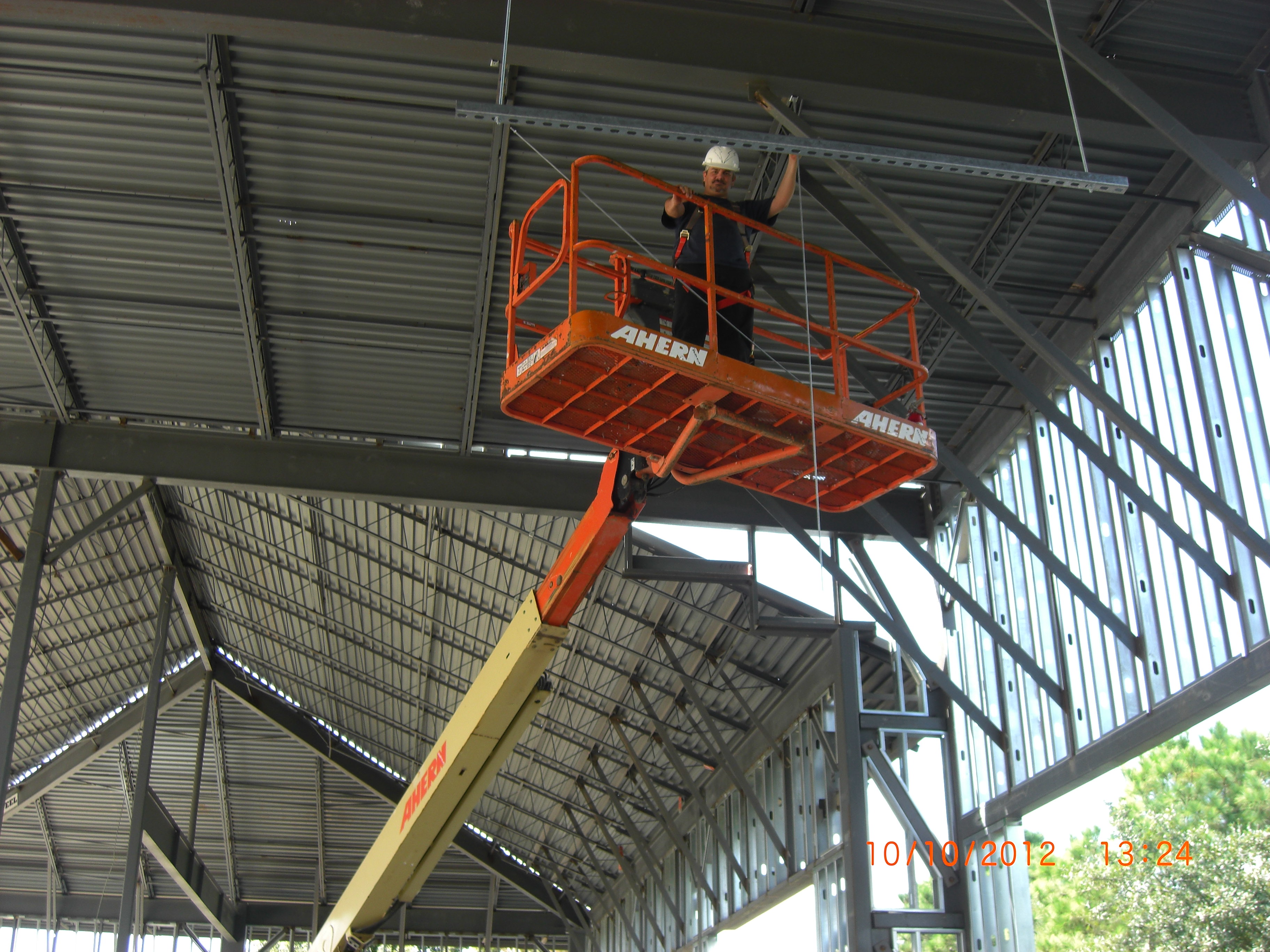
WMS is a provider of tight tolerance surveys as well as 3D scanning and construction layout. While starting in the surveying business in 1991 in civil surveying, now we specialize in precision alignment of the tight tolerance of 0.001". I am the owner of WMS and we just started this year .
WMS is a provider of tight tolerance surveys as well as 3D scanning and construction layout. While starting in the surveying business in 1991 in civil surveying, now we specialize in precision alignment of the tight tolerance of 0.001". I am the owner of WMS and we just started this year .
A.P. Contractors
A.P. Contractors
9 years of experience
Family owned, best work in town guaranteed
Family owned, best work in town guaranteed
Fly-Tech Solutions
Fly-Tech Solutions
6 years of experience
Fly-Tech Solutions is a drone company that specializes in aerial photography and aerial inspections for a variety of industries. Founded by lifelong friends with diverse backgrounds, Fly-Tech Solutions firmly believes in operating with integrity and transparency. Our aerial imagery team specializes in Real Estate Photography but our capabilities include just about anything you can imagine. Our pilots have filmed everything from gender reveals to proposals to corporate parties! Additionally, the Fly-Tech Solutions team has an extensive background flying drones in commercial & industrial environments so our experienced pilots are prepared for even the most demanding or challenging projects.
Fly-Tech Solutions is a drone company that specializes in aerial photography and aerial inspections for a variety of industries. Founded by lifelong friends with diverse backgrounds, Fly-Tech Solutions firmly believes in operating with integrity and transparency. Our aerial imagery team specializes in Real Estate Photography but our capabilities include just about anything you can imagine. Our pilots have filmed everything from gender reveals to proposals to corporate parties! Additionally, the Fly-Tech Solutions team has an extensive background flying drones in commercial & industrial environments so our experienced pilots are prepared for even the most demanding or challenging projects.
Forklift Repair

Mammoth Industries
Mammoth Industries
9 years of experience
Mammoth Industries L.L.C. is a company comprised of engineering, environmental, and geophysical services for the government, private, and energy sectors. We possess a commitment to quality, production, and most importantly safety, second to none. Offering a safer environment, superior quality, and limitless production, our teams accountability and execution provide our clientele, with projects on-time and on their budget.
Mammoth Industries L.L.C. is a company comprised of engineering, environmental, and geophysical services for the government, private, and energy sectors. We possess a commitment to quality, production, and most importantly safety, second to none. Offering a safer environment, superior quality, and limitless production, our teams accountability and execution provide our clientele, with projects on-time and on their budget.
Trinity Bay Engineering
Trinity Bay Engineering
9 years of experience
Civil Engineering, Wind Storm Certified, Architectural Design
Civil Engineering, Wind Storm Certified, Architectural Design
Texas Leak & Location Services
Texas Leak & Location Services
16 years of experience
Swimming Pool Leak Detection and Underground Utility Location
Swimming Pool Leak Detection and Underground Utility Location
24HR Painting
24HR Painting
10 years of experience
Providing 24 Hours of ALL services to residential and commercial clients.
Providing 24 Hours of ALL services to residential and commercial clients.
Land Surveying questions, answered by experts
The Bayou Vista, TX homeowners’ guide to land surveying services
From average costs to expert advice, get all the answers you need to get your job done.
 •
•Discover site preparation cost estimates, including average prices, cost factors, and tips to help homeowners budget for their next project.

A land survey can determine your property’s borders and settle property disputes. Learn how much a land survey costs and what can affect the price.

Just bought a plot of land and need to get it build-ready? Learn how much it costs to clear land to gauge your initial budget before you break ground.
 •
•Find out how much an elevation certificate costs, including average prices, cost factors, and tips to save money when hiring a surveyor for your property.

What is a property line? Find out everything you need to know about property lines, from easements to where to build a fence and how land surveys work.

If you've just been told that you need a land survey to continue your project, what time of land survey do you really need? Here are eight main options.
- Hitchcock, TX Land surveyors
- La Marque, TX Land surveyors
- Alta Loma, TX Land surveyors
- Santa Fe, TX Land surveyors
- Texas City, TX Land surveyors
- Dickinson, TX Land surveyors
- San Leon, TX Land surveyors
- Galveston, TX Land surveyors
- Tiki Island, TX Land surveyors
- Jamaica Beach, TX Land surveyors
- Bacliff, TX Land surveyors
- League City, TX Land surveyors
- Kemah, TX Land surveyors
- Clear Lake Shores, TX Land surveyors
- Alvin, TX Land surveyors
- Nassau Bay, TX Land surveyors
- Webster, TX Land surveyors
- El Lago, TX Land surveyors
- Seabrook, TX Land surveyors
- Taylor Lake Village, TX Land surveyors
- Friendswood, TX Land surveyors
- Danbury, TX Land surveyors
- Shoreacres, TX Land surveyors
- La Porte, TX Land surveyors
- Brookside Village, TX Land surveyors
- Manvel, TX Land surveyors
- Port Bolivar, TX Land surveyors
- Pearland, TX Land surveyors
- Pasadena, TX Land surveyors
- Iowa Colony, TX Land surveyors
- Plumbing in Bayou Vista
- Roofing in Bayou Vista
- Tree Service in Bayou Vista
- Electrical in Bayou Vista
- Kitchen And Bath Remodeling in Bayou Vista
- Lawn And Yard Work in Bayou Vista
- Swimming Pools in Bayou Vista
- Landscaping in Bayou Vista
- Pest Control in Bayou Vista
- Moving in Bayou Vista
- Garage Doors in Bayou Vista
- Foundation Repair in Bayou Vista
- Cleaning in Bayou Vista
- Handyman Service in Bayou Vista
- Concrete Repair in Bayou Vista
- Flooring in Bayou Vista
- Garbage Collection in Bayou Vista
- Insulation in Bayou Vista
- Septic Tank in Bayou Vista
- Windows in Bayou Vista
- Exterior Painting in Bayou Vista
- Pressure Washing in Bayou Vista
- Siding in Bayou Vista
- Air Duct Cleaning in Bayou Vista
- Lawn Irrigation in Bayou Vista
- Contractor in Bayou Vista
- Carpet Cleaning in Bayou Vista
- Home Inspection in Bayou Vista
- Concrete Driveways in Bayou Vista
- Epoxy Flooring in Bayou Vista
What do you need done? We’ll find top pros.
- 🌱 "Mow a small front yard"
- 🛠 "Fix a leaking pipe under the sink"
- 🏠 "Repair shingles on an asphalt roof"