
Get matched with top land surveyors in Eagleton Village, TN
Enter your ZIP and get matched with up to 5 pros
Need a pro for your land surveying project in Eagleton Village, TN?
Select your specific project to find the pro for you.
TRUSTED BY EAGLETON VILLAGE, TN HOMEOWNERS
 4.1 Average homeowner rating
 21 Verified land surveying services reviews
Verified Reviews for Land Surveying pros in Eagleton Village, TN
*The Angi rating for Land Surveying companies in Eagleton Village, TN is a rating based on verified reviews from our community of homeowners who have used these pros to meet their Land Surveying needs.
*The HomeAdvisor rating for Land Surveying companies in Eagleton Village, TN is a rating based on verified reviews from our community of homeowners who have used these pros to meet their Land Surveying needs.
Last update on December 01, 2025


Find Land surveyors in Eagleton Village
Landscaping & Tree Services & Wood Fence
Landscaping & Tree Services & Wood Fence
Emergency services offered
landscaping & trees services irrigation system light & walls retain
landscaping & trees services irrigation system light & walls retain

Mountain View
Mountain View
I focus on keeping my customers happy, no matter what turns or corners we have to take to fit the needs of each individual I work with. Me and my team are here to help with any projects or services you need around your home. My guys are professionals and we are here to help you..
I focus on keeping my customers happy, no matter what turns or corners we have to take to fit the needs of each individual I work with. Me and my team are here to help with any projects or services you need around your home. My guys are professionals and we are here to help you..
360 Surveying & Mapping LLC
360 Surveying & Mapping LLC
26 years of experience
We are a full service small business offering surveying services throughout the region.
"Scheduled a survey, and they contacted us this morning saying they were coming out. However they never showed up and we've wasted a lot of time waiting for the scheduled date when we could've scheduled with someone else. Now we have to wait another 2 weeks. Would not recommend."
Jeffrey P on April 2020
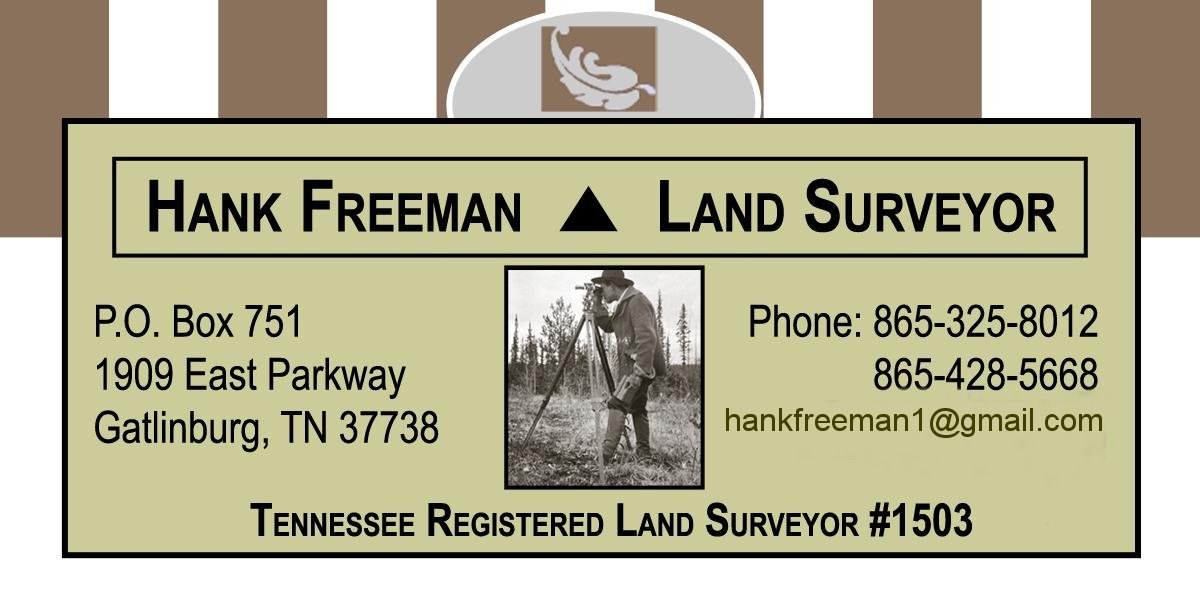
Hank Freeman Land Surveyor
Hank Freeman Land Surveyor
38 years of experience
Hank Freeman has been licensed since 1986 and started his own business in 1987. Billing is on a per hour basis. Estimates are calculated from current county tax information. Credit cards are accepted.
Hank Freeman has been licensed since 1986 and started his own business in 1987. Billing is on a per hour basis. Estimates are calculated from current county tax information. Credit cards are accepted.
Hinds Surveying Co.
Hinds Surveying Co.
46 years of experience
free quotes, pay by cash, check or Paypal www.hindssurveying.com
free quotes, pay by cash, check or Paypal www.hindssurveying.com
True Meridian Land Surveying
True Meridian Land Surveying
14 years of experience
True Meridian performs all forms of land surveying but is dedicated to locating boundaries particularly those that are lost or forgotten. We are loyal to the public and hold our clients interest in the highest regards.
True Meridian performs all forms of land surveying but is dedicated to locating boundaries particularly those that are lost or forgotten. We are loyal to the public and hold our clients interest in the highest regards.

East Tennessee Concrete and Home Repair
East Tennessee Concrete and Home Repair
40 years of experience
Local certified handy men at your disposal! We build it from excavation to turn key..All your construction needs,we offer FREE quotes!!
Local certified handy men at your disposal! We build it from excavation to turn key..All your construction needs,we offer FREE quotes!!
LandTech Engineering and Surveying
LandTech Engineering and Surveying
16 years of experience
LandTech's licensed, highly qualified civil engineering and land surveying staff provide the company's clients with the information they need to make important decisions about buying, selling, developing and improving their property. We use the latest, most advanced equipment and technology, including robotic instruments, laser and infrared measuring devices, wireless data transmission, global positioning satellite systems (GPS), computer-assisted drafting and design (CADD), electromagnetic underground utility location equipment, and small unmanned aircraft systems (drones). The company prides itself on the high-precision and accuracy of its fieldwork, and the exceptional detail and quality presentation of its civil engineering plans and survey maps and plats.
LandTech's licensed, highly qualified civil engineering and land surveying staff provide the company's clients with the information they need to make important decisions about buying, selling, developing and improving their property. We use the latest, most advanced equipment and technology, including robotic instruments, laser and infrared measuring devices, wireless data transmission, global positioning satellite systems (GPS), computer-assisted drafting and design (CADD), electromagnetic underground utility location equipment, and small unmanned aircraft systems (drones). The company prides itself on the high-precision and accuracy of its fieldwork, and the exceptional detail and quality presentation of its civil engineering plans and survey maps and plats.
negley and sons Total Lawn Care
negley and sons Total Lawn Care
20 years of experience
We are a family owned and operated business in Sevier county. Our services include mowing, trimming, hedge trimming, landscape maintenance and debris removal. We guarantee clean, prompt service.
We are a family owned and operated business in Sevier county. Our services include mowing, trimming, hedge trimming, landscape maintenance and debris removal. We guarantee clean, prompt service.
Land Surveying questions, answered by experts
The Eagleton Village, TN homeowners’ guide to land surveying services
From average costs to expert advice, get all the answers you need to get your job done.
 •
•Discover site preparation cost estimates, including average prices, cost factors, and tips to help homeowners budget for their next project.

A land survey can determine your property’s borders and settle property disputes. Learn how much a land survey costs and what can affect the price.

Just bought a plot of land and need to get it build-ready? Learn how much it costs to clear land to gauge your initial budget before you break ground.

A land surveyor can perform a land survey and help clarify your property boundaries and features. Use this guide to find the right professional.
 •
•Find out how much an elevation certificate costs, including average prices, cost factors, and tips to save money when hiring a surveyor for your property.

Not sure what kind of property survey you need? Learn about the differences between a land survey vs. a boundary survey to get started.
- Maryville, TN Land surveyors
- Alcoa, TN Land surveyors
- Rockford, TN Land surveyors
- Walland, TN Land surveyors
- Louisville, TN Land surveyors
- Farragut, TN Land surveyors
- Friendsville, TN Land surveyors
- Seymour, TN Land surveyors
- Townsend, TN Land surveyors
- Karns, TN Land surveyors
- Knoxville, TN Land surveyors
- Greenback, TN Land surveyors
- Lenoir City, TN Land surveyors
- Powell, TN Land surveyors
- Kodak, TN Land surveyors
- Loudon, TN Land surveyors
- Strawberry Plains, TN Land surveyors
- Vonore, TN Land surveyors
- Heiskell, TN Land surveyors
- Sevierville, TN Land surveyors
- Pigeon Forge, TN Land surveyors
- Mascot, TN Land surveyors
- Oak Ridge, TN Land surveyors
- Gatlinburg, TN Land surveyors
- Clinton, TN Land surveyors
- Corryton, TN Land surveyors
- Plainview, TN Land surveyors
- Philadelphia, TN Land surveyors
- Maynardville, TN Land surveyors
- Blaine, TN Land surveyors
What do you need done? We’ll find top pros.
- 🌱 "Mow a small front yard"
- 🛠 "Fix a leaking pipe under the sink"
- 🏠 "Repair shingles on an asphalt roof"