






Top-rated land clearing pros.

Get matched with top land clearing pros in Pacolet, SC

Enter your zip and get matched with up to 5 pros

Need a pro for your land clearing project in Pacolet, SC?

Select your specific project to find the pro for you.

TRUSTED BY PACOLET, SC HOMEOWNERS

  • Average homeowner rating star icon4.8
    Average homeowner rating
  • Verified reviews icon262
    Verified land clearing services reviews

Find Land clearing pros in Pacolet

Outta here hauling and cleaning services
New to Angi
Building Site - Preparation and Clearing

Serving Pacolet, SC and surrounding areas

Approved

I am starting a new Buisness and switching Career. I last 12 years last company I for. I can travel far if needed and work for long hours. I own my own dump trailer, skid steer and diesel truck. My plan is to make a good use out all of my equipment cleaning and hauling services. I’m motivated to work and really want to grow my Buisness bigger as a new owner.

Avatar for Tucker Siteworks Inc.
Tucker Siteworks Inc.
New to Angi
Building Site - Preparation and Clearing

Serving Pacolet, SC and surrounding areas

Approved

In business since 2025

Free estimates

Credit card accepted

We take great pride in our experience, expertise, quality, and customer service that we provide to meet the consumer’s needs. It is our mission to provide excellent workmanship and complete customer satisfaction from start to completion of a project. In order to understand the needs and expectations of our customers, we take great care to work and communicate with every customer in a professional manner. Our reputation is based on service, safety, and quality, regardless of how large or small the job.

...
Showing 1-10 of 90
Land Clearing Services questions, answered by experts

A boundary survey measures the boundary lines of the property, only the length of each property line and their locations. A land survey includes a more in-depth measurement of the property, including the heights and depths of the terrain measured by a topographic survey. A boundary survey is typically the most cost-effective method for marking and measuring property lines.

This is fairly rare, but sometimes the local government or a group like a historical society will label a tree as a landmark, or historical item. These designations almost always come with a small, on-site plaque for identification, but you should also be able to look up protected trees in your area on a city website or similar list. If the tree in question is a landmark, call your local government and ask how to proceed before making any plans.

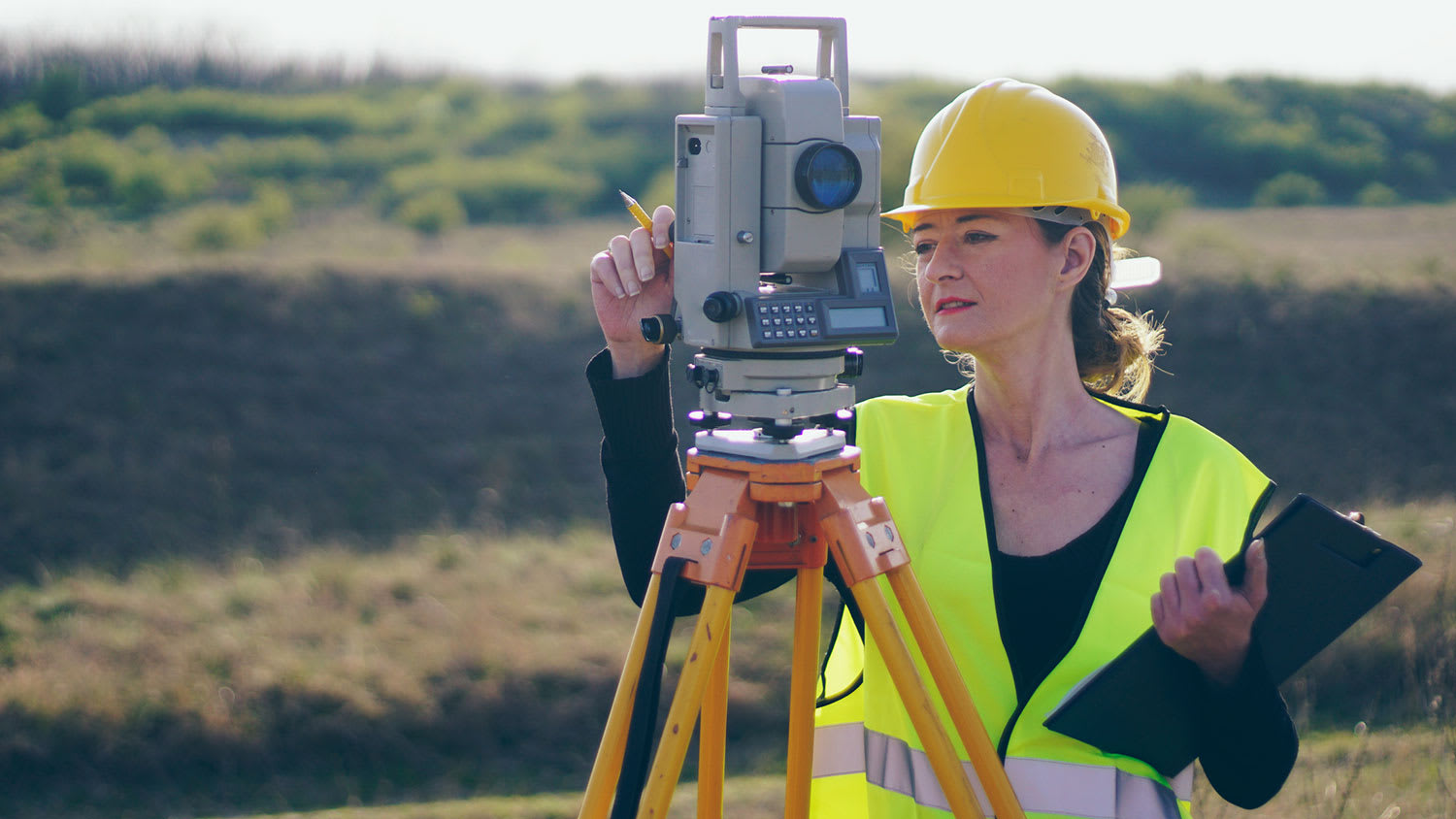
To prepare for a land survey, you must thoroughly check your land surveyor’s qualifications, reviews, and fees to align with your expectations. When it is time for the survey to be conducted, ensure that you have all your documents organized and available, know and mark your property lines, and inform your neighbors that the survey is happening.

Professional well contractors may use electromagnetic mapping to look for places with a high likelihood of water. Water access can vary significantly, even on the same property, so it can be difficult to know where to drill if you don’t have specialized tools to look for water.

Land survey reports have a boatload of information relevant to several scenarios. Here are the types of information contained with a survey, though it depends on your chosen type of land survey. Exact boundaries and dimensions of a given property General topography, including both natural and artificial landmarks Location of utility fixtures, like water mains Confirmation of any easements or encroachments on a piece of property Assessment of land elevation to buy flood insurance Updated information to add to a pre-existing property map

The Pacolet, SC homeowners’ guide to land clearing services

From average costs to expert advice, get all the answers you need to get your job done.