





Top-rated land clearing pros.

Get matched with top land clearing pros in Tipton, MO

Enter your zip and get matched with up to 5 pros

Need a pro for your land clearing project in Tipton, MO?

Select your specific project to find the pro for you.

TRUSTED BY TIPTON, MO HOMEOWNERS

  • Average homeowner rating star icon4.7
    Average homeowner rating
  • Verified reviews icon18
    Verified land clearing services reviews

Find Land clearing pros in Tipton

Avatar for M&W Excavating, LLC
M&W Excavating, LLC
5.0(
9
)
Building Site - Preparation and ClearingBuilding Site - Preparation and Clearing - For Business

Serving Tipton, MO and surrounding areas

Approved

In business since 2025

Free estimates

Credit card accepted

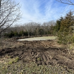
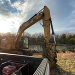
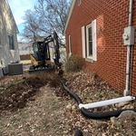
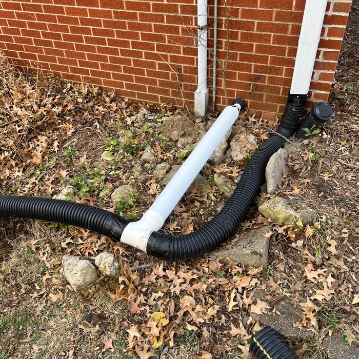
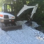
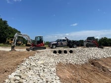
"He was extremely timely. Got the job done quickly and did an excellent job. He added gravel to our driveway and installed a French drain. We are very pleased with the results. He was also priced reasonably."
Response time6 hrs
Response rate100%
9 neighbors recently requested a quote

Showing 1-10 of 41
Land Clearing Services questions, answered by experts

A boundary survey measures the boundary lines of the property, only the length of each property line and their locations. A land survey includes a more in-depth measurement of the property, including the heights and depths of the terrain measured by a topographic survey. A boundary survey is typically the most cost-effective method for marking and measuring property lines.

A land survey can take anywhere from a few hours to a month or more, depending on the size of the property, the type of survey, the property’s accessibility and topography, and the availability of historical property records. A simple boundary survey to determine a fence line can be completed in a day while surveying 50 acres of undeveloped woodlands may take weeks or longer.

To prepare for a land survey, you must thoroughly check your land surveyor’s qualifications, reviews, and fees to align with your expectations. When it is time for the survey to be conducted, ensure that you have all your documents organized and available, know and mark your property lines, and inform your neighbors that the survey is happening.

There are a couple of ways you can determine the depth of your well. One method is to use a device called a well sounder. This tool has a long measuring tape containing a sensor to alert you once the end reaches the water. 

Or you can DIY it by using a long tape measure with a half-filled bottle of water attached to it. Lower the tape measure into your well. Once you feel tension on the tape, you’ll know the bottle has reached your static water level. This will give you an approximate idea of your well’s depth.

The small lines on the tape measure either indicate inches, fractions of an inch, or centimeters and millimeters. On the imperial unit side (aka the inches side), the longest lines indicate inches, followed by the next shortest lines that indicate a half-inch, and then the quarter, eighth, and sixteenth-inch. On the metric side, the lines break down meters, centimeters, and millimeters.

The Tipton, MO homeowners’ guide to land clearing services

From average costs to expert advice, get all the answers you need to get your job done.