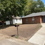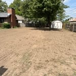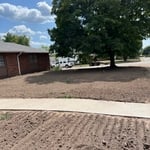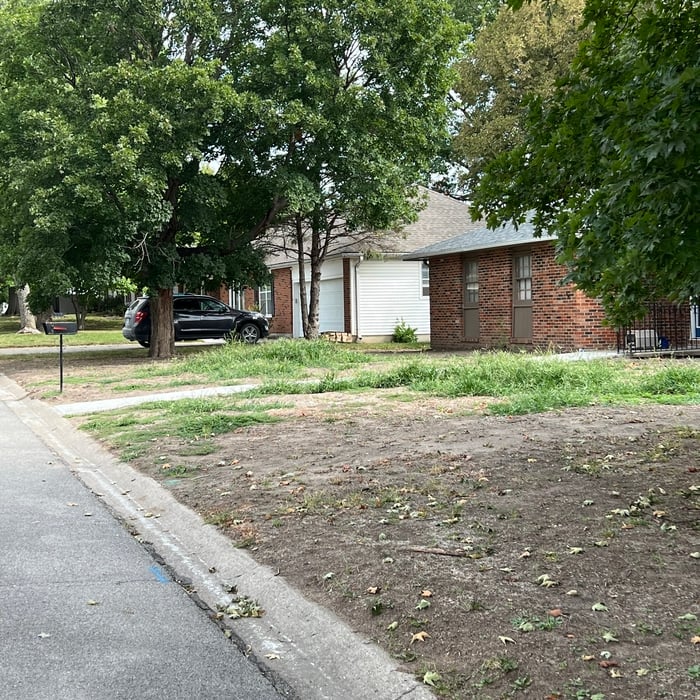






Top-rated land clearing pros.

Get matched with top land clearing pros in Stover, MO

Enter your zip and get matched with up to 5 pros

Need a pro for your land clearing project in Stover, MO?

Select your specific project to find the pro for you.

TRUSTED BY STOVER, MO HOMEOWNERS

  • Average homeowner rating star icon4.5
    Average homeowner rating
  • Verified reviews icon44
    Verified land clearing services reviews

Find Land clearing pros in Stover

Showing 1-10 of 38
Land Clearing Services questions, answered by experts

The small lines on the tape measure either indicate inches, fractions of an inch, or centimeters and millimeters. On the imperial unit side (aka the inches side), the longest lines indicate inches, followed by the next shortest lines that indicate a half-inch, and then the quarter, eighth, and sixteenth-inch. On the metric side, the lines break down meters, centimeters, and millimeters.

A land survey defines and records the physical aspects of a property, including its boundaries, dimensions, easements, features, and sometimes topographical information. In contrast, a land appraisal determines the property's monetary value. While an appraiser will often consult a land survey to understand the property's physical specifications, the survey itself does not determine the land's value.

When considering the price of drilling a well, factor in how much you’ll save in water costs per year. The average family of four uses 100 gallons of water per person per day in the U.S. With a private water well, you can save hundreds each year.

Wells are also environmentally friendly. You don’t need to worry about drinking water treated with chemicals. Talk to at least three well pump contractors in your area. They’ll be able to tell you more about your options, give you different quotes, and discuss the biggest concerns.

A land survey includes the layout of a single property, including precise measurements and to-scale drawings of boundary lines, land improvements, and sometimes other features, like topography and drainage information. A plat map includes the layouts and boundary lines of several adjacent plots and basic structure measurements. Surveys are normally more valuable for homeowners and buyers, and plat maps are for governmental use.

Property lines, building locations, and potential encroachments are mapped.

The Stover, MO homeowners’ guide to land clearing services

From average costs to expert advice, get all the answers you need to get your job done.