




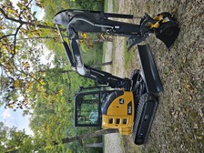
Top-rated land clearing pros.

Get matched with top land clearing pros in Miner, MO

Enter your zip and get matched with up to 5 pros

Need a pro for your land clearing project in Miner, MO?

Select your specific project to find the pro for you.

TRUSTED BY MINER, MO HOMEOWNERS

  • Average homeowner rating star icon4.8
    Average homeowner rating
  • Verified reviews icon18
    Verified land clearing services reviews

Find Land clearing pros in Miner

Avatar for DC's Removal Service
DC's Removal Service
4.7(
24
)
Building Site - Preparation and ClearingBuilding Site - Preparation and Clearing - For Business

Serving Miner, MO and surrounding areas

In business since 2022

Free estimates

Small jobs welcome

"Timely, professional service. After moving, I had a lot of trash and boxes. I have a three car garage, and couldnâ t put my cars in the garage bc of the trash. After seeing his service on Facebook, I called David. We facetimed so he could see the amount of trash to haul. His price was very reasonable for the trash I had. He set the appointment and was on time for it. His crew was very professional and hauled everything off. Thank you so much for the service. I will be informing and referring others to/for this company."
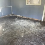
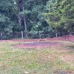
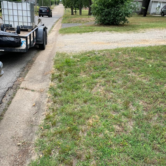
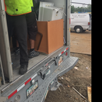
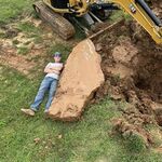
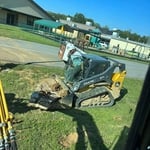
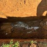
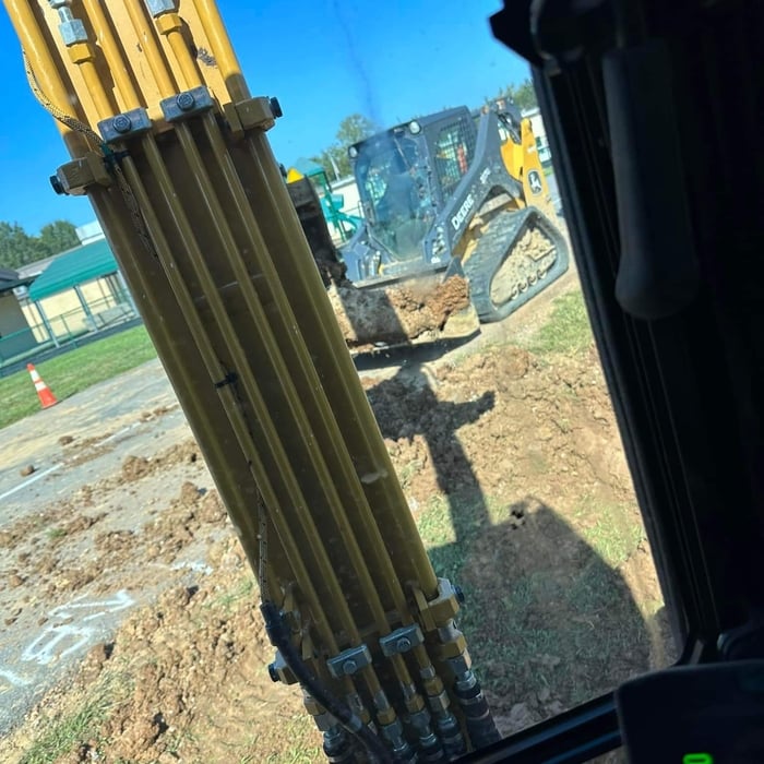
After pic
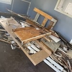
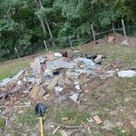
Before pic
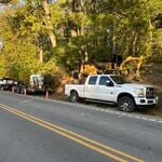
Burn/ debri pile removed
Trash pickup

+7

Response time11 hrs
Response rate90%
Recommended by50%of homeowners
Showing 1-10 of 24
Land Clearing Services questions, answered by experts

Detailed mapping of elevation changes and natural features on the property.

A few different types of land surveys can help determine certain features and boundaries of your property. These include:

  • Boundary surveys describe the actual borders of a property. These are generally required when trying to get construction permits issued. 

  • Location surveys provide much of the same information as a boundary survey but also include in-depth information about any improvements made to your property. 

  • Mortgage location surveys are usually required by lenders and title companies before financing or offering an insurance policy. 

  • Site-planning surveys are done before applying for building permits and can be issued before any major home improvements. 

  • Topographic surveys provide a formal map of land elevations. It can also describe the location and size of natural features and any land improvements.

With proper training and experience, reading blueprints is fairly straightforward and not very difficult. If you don’t have the necessary knowledge to interpret the symbols, abbreviations, and other notations used, blueprints may not make sense. Learning to read blueprints can help you understand the construction process and keep you more involved and informed when you’re building a house.

Surveys completed by licensed surveyors can be recorded with a local surveying records office, and in most cases, they will be. Filing survey reports categorize them as legal documents, and they can be used whenever legal documentation of your property’s boundaries is needed. While you’re not required to file survey documents, it’s a good idea to do so. 

A boundary survey measures the boundary lines of the property, only the length of each property line and their locations. A land survey includes a more in-depth measurement of the property, including the heights and depths of the terrain measured by a topographic survey. A boundary survey is typically the most cost-effective method for marking and measuring property lines.

The Miner, MO homeowners’ guide to land clearing services

From average costs to expert advice, get all the answers you need to get your job done.