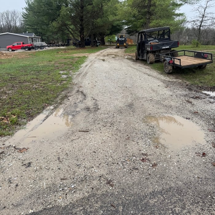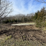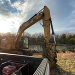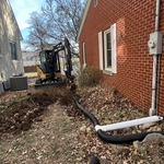







Top-rated land clearing pros.

Get matched with top land clearing pros in Madison, MO

Enter your zip and get matched with up to 5 pros

Need a pro for your land clearing project in Madison, MO?

Select your specific project to find the pro for you.

TRUSTED BY MADISON, MO HOMEOWNERS

  • Average homeowner rating star icon4.1
    Average homeowner rating
  • Verified reviews icon51
    Verified land clearing services reviews

Find Land clearing pros in Madison

F&L LAND CLEARING LLC
New to Angi

Serving Madison, MO and surrounding areas

In business since 2024

Free estimates

Credit card accepted

We're a locally owned and operated company that values honesty and integrity and treats your home as if it were our own. Our services are customized to the individual project, paying close attention to the details of each project that we're involved with. We pride ourselves on the quality of our work as well as our commitment to outstanding results. We look forward to building lasting relationships and guaranteeing your satisfaction!

Showing 1-10 of 31
Land Clearing Services questions, answered by experts

A land survey defines and records the physical aspects of a property, including its boundaries, dimensions, easements, features, and sometimes topographical information. In contrast, a land appraisal determines the property's monetary value. While an appraiser will often consult a land survey to understand the property's physical specifications, the survey itself does not determine the land's value.

ALTA/ACSM surveys are the most comprehensive type of land survey and, as such, tend to be the most expensive. These surveys have standardized guidelines and reports and are used in many kinds of real estate transactions to ensure consistent and accurate information is available for properties.

A professional land surveyor ensures accurate property boundaries and prevent legal disputes.

A land survey includes the layout of a single property, including precise measurements and to-scale drawings of boundary lines, land improvements, and sometimes other features, like topography and drainage information. A plat map includes the layouts and boundary lines of several adjacent plots and basic structure measurements. Surveys are normally more valuable for homeowners and buyers, and plat maps are for governmental use.

Yes, they assess topography and potential risks related to flooding.

The Madison, MO homeowners’ guide to land clearing services

From average costs to expert advice, get all the answers you need to get your job done.