





Top-rated land clearing pros.

Get matched with top land clearing pros in Georgetown, ME

Enter your zip and get matched with up to 5 pros

Need a pro for your land clearing project in Georgetown, ME?

Select your specific project to find the pro for you.

TRUSTED BY GEORGETOWN, ME HOMEOWNERS

  • Average homeowner rating star icon4.5
    Average homeowner rating
  • Verified reviews icon70
    Verified land clearing services reviews

Find Land clearing pros in Georgetown

Avatar for A.G. Construction, LLC
A.G. Construction, LLC
4.8(
6
)
Building Site - Preparation and ClearingBuilding Site - Preparation and Clearing - For Business

Serving Georgetown, ME and surrounding areas

Approved

In business since 2010

Free estimates

Offers commercial services

"Andrew and his crew did an amazing job building this garage. Even though he ran into some issues with the supplier of products he went above and beyond to make sure we were kept informed. Additionally, he also replaced (and improved) an existing garage door in the lower level of our home. He also repaired some siding on our house. They even put our two garage door openers in. Overall, we were more than please with his work and his crew."
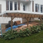
Jefferson Deck Rebuild
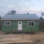
Camp on post
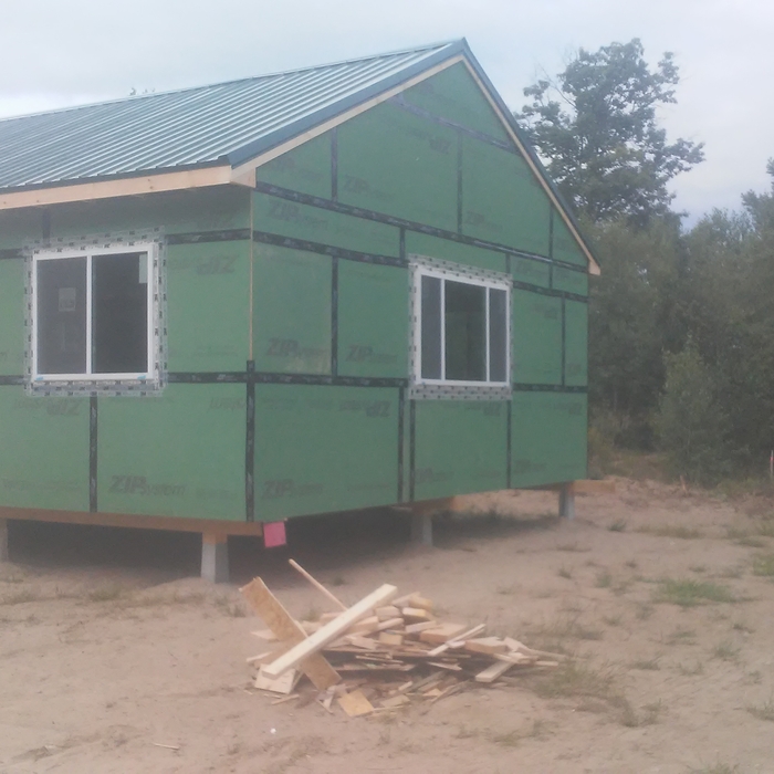
Camp on post

+27

Response time2 days
1 neighbors recently requested a quote
Recommended by100%of homeowners
Avatar for Tree Scouts LLC
Tree Scouts LLC
5.0(
1
)
Building Site - Preparation and ClearingBuilding Site - Preparation and Clearing - For Business

Serving Georgetown, ME and surrounding areas

Approved

In business since 2023

Free estimates

Emergency services offered

We are a family-oriented veteran owned and operated company with years of experience in hazardous tree removal, pruning, land clearing and excavation. Our sole purpose at this company is to provide you with the very best and professional experience without sacrificing quality in our craft. We are currently available to provide free quotes and complete jobs throughout the State of Maine. We look forward to hearing from you!

Response time2 days
Response rate100%
1 neighbors recently requested a quote
Showing 1-10 of 40
Land Clearing Services questions, answered by experts

A boundary survey measures the boundary lines of the property, only the length of each property line and their locations. A land survey includes a more in-depth measurement of the property, including the heights and depths of the terrain measured by a topographic survey. A boundary survey is typically the most cost-effective method for marking and measuring property lines.

You should always calculate real estate development costs on a case-by-case basis, so there’s no specific formula to estimate your total. You should speak with a local construction manager to see what you’ll need to do in terms of clearing and leveling the land, connecting utilities, and pulling permits for construction. A professional will be able to get you an accurate estimate for land development.

There are a couple of ways you can determine the depth of your well. One method is to use a device called a well sounder. This tool has a long measuring tape containing a sensor to alert you once the end reaches the water. 

Or you can DIY it by using a long tape measure with a half-filled bottle of water attached to it. Lower the tape measure into your well. Once you feel tension on the tape, you’ll know the bottle has reached your static water level. This will give you an approximate idea of your well’s depth.

If a buyer pays for a survey, the surveyor they hired will only provide results to them. It’s up to the buyer whether they share the survey results with the seller or not, even if they ultimately walk away from the deal. It’s considered good faith to share the results with the seller, though, especially if you back out of the deal, as the seller can then provide that survey to future interested parties.

A land survey includes the layout of a single property, including precise measurements and to-scale drawings of boundary lines, land improvements, and sometimes other features, like topography and drainage information. A plat map includes the layouts and boundary lines of several adjacent plots and basic structure measurements. Surveys are normally more valuable for homeowners and buyers, and plat maps are for governmental use.

The Georgetown, ME homeowners’ guide to land clearing services

From average costs to expert advice, get all the answers you need to get your job done.