







Top-rated land clearing pros.

Get matched with top land clearing pros in West Point, UT

Enter your zip and get matched with up to 5 pros

Need a pro for your land clearing project in West Point, UT?

Select your specific project to find the pro for you.

TRUSTED BY WEST POINT, UT HOMEOWNERS

  • Average homeowner rating star icon4.7
    Average homeowner rating
  • Verified reviews icon882
    Verified land clearing services reviews

Find Land clearing pros in West Point

Dirt rich excavating
New to Angi
Building Site - Preparation and Clearing

Serving West Point, UT and surrounding areas

Approved

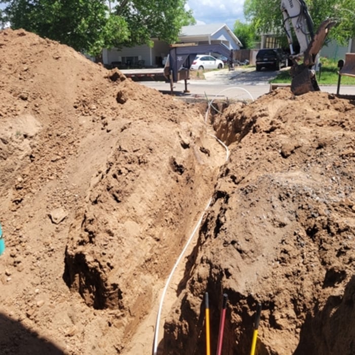
At Dirt Rich Excavating, we take pride in delivering reliable, high-quality earthwork and utility services built on a foundation of integrity, hard work, and precision. We believe in doing the job right the first time, maintaining clear communication with our clients, and showing up with a commitment to safety and professionalism. Our goal is to build lasting relationships through honest work, dependable results, and a reputation you can trust—whether we’re on a small residential project or a large-scale site development.

...
Showing 1-10 of 101
Land Clearing Services questions, answered by experts

ALTA/ACSM surveys are the most comprehensive type of land survey and, as such, tend to be the most expensive. These surveys have standardized guidelines and reports and are used in many kinds of real estate transactions to ensure consistent and accurate information is available for properties.

A land survey provides precise property boundaries, reveals legal encroachments, and identifies rights-of-way, minimizing disputes. Understanding the exact dimensions and features of the property aids in informed decision-making and safeguards the buyer's investment.

Pros will assess your soil type, property geography, and rain patterns for optimal slope.

The small lines on the tape measure either indicate inches, fractions of an inch, or centimeters and millimeters. On the imperial unit side (aka the inches side), the longest lines indicate inches, followed by the next shortest lines that indicate a half-inch, and then the quarter, eighth, and sixteenth-inch. On the metric side, the lines break down meters, centimeters, and millimeters.

A land survey defines and records the physical aspects of a property, including its boundaries, dimensions, easements, features, and sometimes topographical information. In contrast, a land appraisal determines the property's monetary value. While an appraiser will often consult a land survey to understand the property's physical specifications, the survey itself does not determine the land's value.

The West Point, UT homeowners’ guide to land clearing services

From average costs to expert advice, get all the answers you need to get your job done.