





Top-rated land surveyors.

Get matched with top land surveyors in Pendleton, SC

Enter your zip and get matched with up to 5 pros

Need a pro for your land surveying project in Pendleton, SC?

Select your specific project to find the pro for you.

Find Land surveyors in Pendleton

Avatar for GeoNexa LLC
GeoNexa LLC
4.3(
6
)

Serving Pendleton, SC and surrounding areas

Approved

In business since 2024

Free estimates

Small jobs welcome

GeoNexa, PLLC provides professional land surveying services throughout North and South Carolina. Specializing in boundary surveys, ALTA surveys, lot fit surveys, home layouts, topographic surveys, and subdivisions, we use advanced drone technology, including LiDAR and photogrammetry, to deliver precise and reliable results. With years of expertise, we are committed to accuracy, efficiency, and excellent customer service.

Property Surveyed
24 neighbors recently requested a quote
McClure Surveying
3.7(
3
)

Serving Pendleton, SC and surrounding areas

In business since 1966

Free estimates

Credit card accepted

"McClure Surveying
101 Walter Chamblee Road
Anderson, SC 29626
864.844.3165
SC surveyor #3438B
The land surveyed was in Laurens county SC near Lake Greenwood.
My first contact with Mr. McClure was in early May 2013.  We had several phone conversations about the location of the job, plat numbers of maps from the county office and pricing.  Mr. McClure started making the long drive from Anderson,SC to Laurens county, SC, well over an hour each way, the next week, but was frequently hindered by bad weather, in May and June, a tornado touched down near his farm in Anderson, SC and heavy rains all over South Carolina and the Southeast, so the job took a little longer than usual, neither swayed this Marine from his duty.  I was in no hurry, I prefer a job well done, rather than a fast job, and that's what i got, a job well done.  Being a Marine myself, and knowing and encountering other Marines, the word 'can't' is generally not in the vocabulary.  A job well done for our country and me.  The job was excellent. I would hire Mr. McClure again in a flash.  Mr. McClure also put me in touch with someone that he trusts, that would cut a rough road, with his bulldozer, around the perimeter inside the property line.
"
Recommended by100%of homeowners
Avatar for SERENITY PROS
SERENITY PROS
5.0(
1
)

Serving Pendleton, SC and surrounding areas

In business since 2024

Free estimates

Emergency services offered

"Serenity showed up on time with materials needed to do the job. They are personable and easy to get along with. Finished in a timely manner and called back for a review of their work. Would use them again."
Building Custom Porch Addition w Epoxy Floor
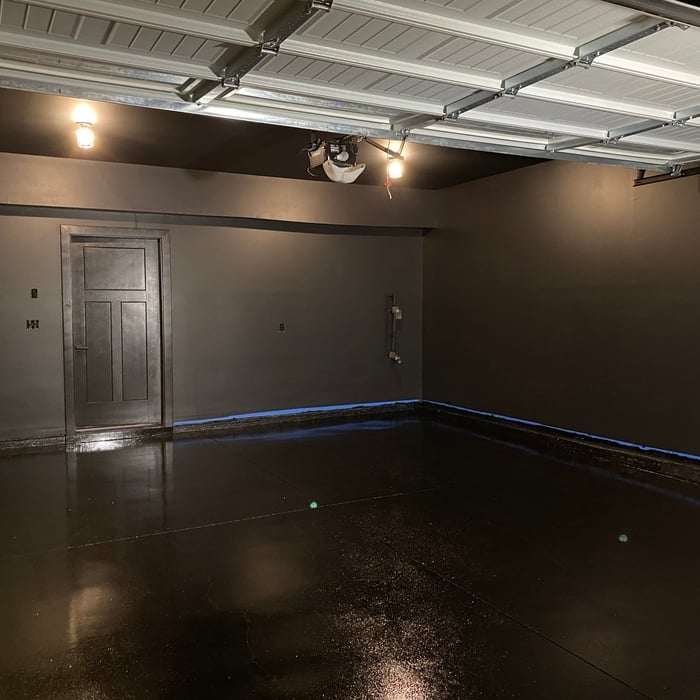
Black Out Gym/Garage
Epoxy Floor Coating and Interior Painting of 2 Car Garage
Building Custom Porch Addition w Epoxy Floor
Black Out Gym/Garage

+10

Recommended by100%of homeowners
Land Surveying questions, answered by experts

A few different types of land surveys can help determine certain features and boundaries of your property. These include:

  • Boundary surveys describe the actual borders of a property. These are generally required when trying to get construction permits issued. 

  • Location surveys provide much of the same information as a boundary survey but also include in-depth information about any improvements made to your property. 

  • Mortgage location surveys are usually required by lenders and title companies before financing or offering an insurance policy. 

  • Site-planning surveys are done before applying for building permits and can be issued before any major home improvements. 

  • Topographic surveys provide a formal map of land elevations. It can also describe the location and size of natural features and any land improvements.

A land survey defines and records the physical aspects of a property, including its boundaries, dimensions, easements, features, and sometimes topographical information. In contrast, a land appraisal determines the property's monetary value. While an appraiser will often consult a land survey to understand the property's physical specifications, the survey itself does not determine the land's value.

Depending on the type of land survey, the report will mark the boundaries of your property, the topographical changes of the landscape, as well as major natural and added structures to the plot. A more detailed survey, like an as-built survey, will note the measurements of the structures and landscape following major construction. A topographic survey will also help your contractor determine the cost of land development projects.

The small lines on the tape measure either indicate inches, fractions of an inch, or centimeters and millimeters. On the imperial unit side (aka the inches side), the longest lines indicate inches, followed by the next shortest lines that indicate a half-inch, and then the quarter, eighth, and sixteenth-inch. On the metric side, the lines break down meters, centimeters, and millimeters.

If you or your mortgage lender think your land survey needs to be more accurate, double-check the survey report and get at least a second opinion from the original surveyor and an inspector, if possible. Although it’s unlikely, even reputable surveying companies can make mistakes. An inaccurate survey can cause problems down the road in the case of any property line disputes, so it’s best to resolve any inaccuracies as quickly as possible.

The Pendleton, SC homeowners’ guide to land surveying services

From average costs to expert advice, get all the answers you need to get your job done.