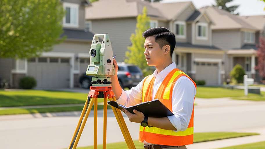






Top-rated land surveyors.

Best land surveyors near Clinton, SC

Enter your zip and get matched with up to 5 pros

Need a pro for your land surveying project in Clinton, SC?

Select your specific project to find the pro for you.

Top-Rated Land surveyors in Clinton - Updated Nov 2026

Avatar for GeoNexa LLC
GeoNexa LLC
4.4(
7
)
Land Surveyor

Serving Clinton, SC and surrounding areas

Approved

In business since 2024

Free estimates

Small jobs welcome

"Great communization, listened to my issues and explained my options thoroughly and with care. Followed up once I was scheduled and delivered my survey in a timely manner. Definitely recommend!!"
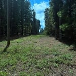
Property Surveyed
7 neighbors recently requested a quote

Avatar for SERENITY PROS
SERENITY PROS
5.0(
1
)
Land Surveyor

Serving Clinton, SC and surrounding areas

In business since 2024

Free estimates

Emergency services offered

"Serenity showed up on time with materials needed to do the job. They are personable and easy to get along with. Finished in a timely manner and called back for a review of their work. Would use them again."
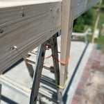
Building Custom Porch Addition w Epoxy Floor
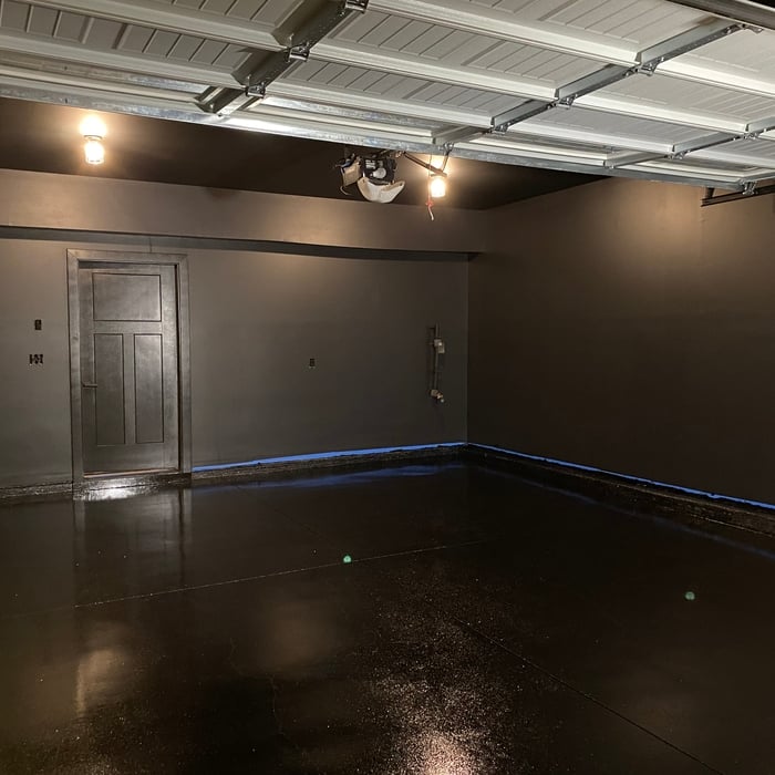
Black Out Gym/Garage
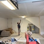
Epoxy Floor Coating and Interior Painting of 2 Car Garage
Building Custom Porch Addition w Epoxy Floor
Black Out Gym/Garage

+10

Recommended by100%of homeowners
Land Surveying FAQs, answered by experts

The small lines on the tape measure either indicate inches, fractions of an inch, or centimeters and millimeters. On the imperial unit side (aka the inches side), the longest lines indicate inches, followed by the next shortest lines that indicate a half-inch, and then the quarter, eighth, and sixteenth-inch. On the metric side, the lines break down meters, centimeters, and millimeters.

A land survey provides precise property boundaries, reveals legal encroachments, and identifies rights-of-way, minimizing disputes. Understanding the exact dimensions and features of the property aids in informed decision-making and safeguards the buyer's investment.

A land survey can take anywhere from a few hours to a month or more, depending on the size of the property, the type of survey, the property’s accessibility and topography, and the availability of historical property records. A simple boundary survey to determine a fence line can be completed in a day while surveying 50 acres of undeveloped woodlands may take weeks or longer.

There are a couple of ways you can determine the depth of your well. One method is to use a device called a well sounder. This tool has a long measuring tape containing a sensor to alert you once the end reaches the water. 

Or you can DIY it by using a long tape measure with a half-filled bottle of water attached to it. Lower the tape measure into your well. Once you feel tension on the tape, you’ll know the bottle has reached your static water level. This will give you an approximate idea of your well’s depth.

If you can’t find any records online, you’ll need to contact your county clerk’s office to do further research. They should have property records on file, or can at least point you in the right direction of who to contact. You can also speak with your neighbors about when their houses were built because they were likely built around the same time.

The Clinton, SC homeowners’ guide to land surveying services

From average costs to expert advice, get all the answers you need to get your job done.