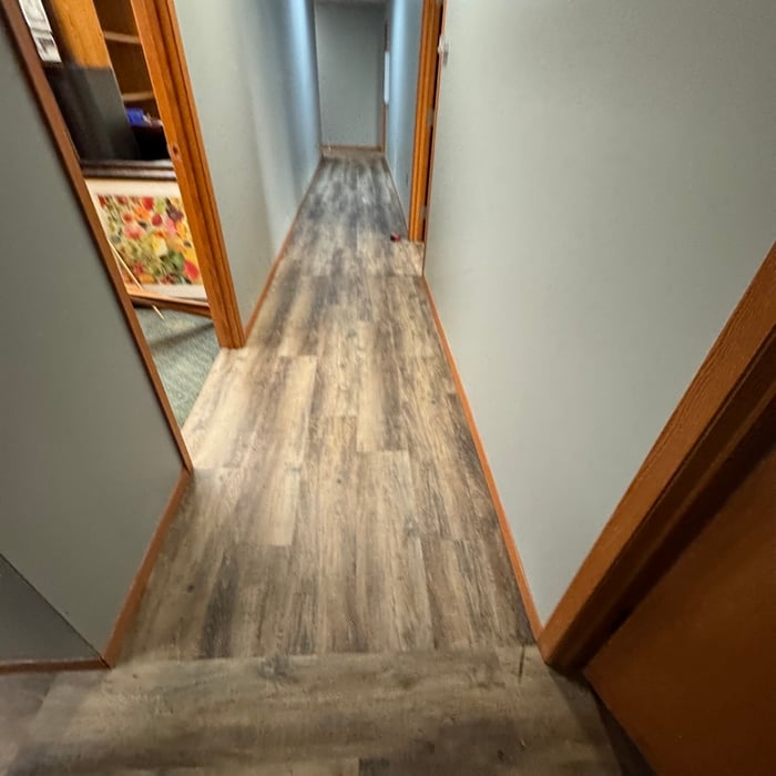
I pride myself on my professionalism, as well as my ability to complete every job to the homeowner's total satisfaction. I never leave a job unfinished, or a homeowner not 100% satisfied with my level of service - Call today!
If you or your mortgage lender think your land survey needs to be more accurate, double-check the survey report and get at least a second opinion from the original surveyor and an inspector, if possible. Although it’s unlikely, even reputable surveying companies can make mistakes. An inaccurate survey can cause problems down the road in the case of any property line disputes, so it’s best to resolve any inaccuracies as quickly as possible.
Land surveys don’t technically expire. They do serve as a point of reference and a snapshot of your property, though, so as soon as you make changes to your property (and even if your neighbor makes certain changes to theirs), your existing land survey becomes inaccurate, and a new one must be done. Even if you don’t make any changes to your property, many states only guarantee the accuracy of a land survey for five to ten years.
Prior to excavation, you should prepare the dig site and call 311 before you sign anything.
To get your site ready for excavation, you should move anything in the area that isn’t affixed to the land. You can save money on the excavation by removing hardscaping, including walkways, decks, concrete patios, and paver patios.
Before you carry out any digging, you should call 311 to confirm that there are no utility lines running through your excavation site. Skipping this step could lead to severe injury and property damage if your excavator hits a water, sewage, or gas line.
A boundary survey measures the boundary lines of the property, only the length of each property line and their locations. A land survey includes a more in-depth measurement of the property, including the heights and depths of the terrain measured by a topographic survey. A boundary survey is typically the most cost-effective method for marking and measuring property lines.
A land survey provides precise property boundaries, reveals legal encroachments, and identifies rights-of-way, minimizing disputes. Understanding the exact dimensions and features of the property aids in informed decision-making and safeguards the buyer's investment.
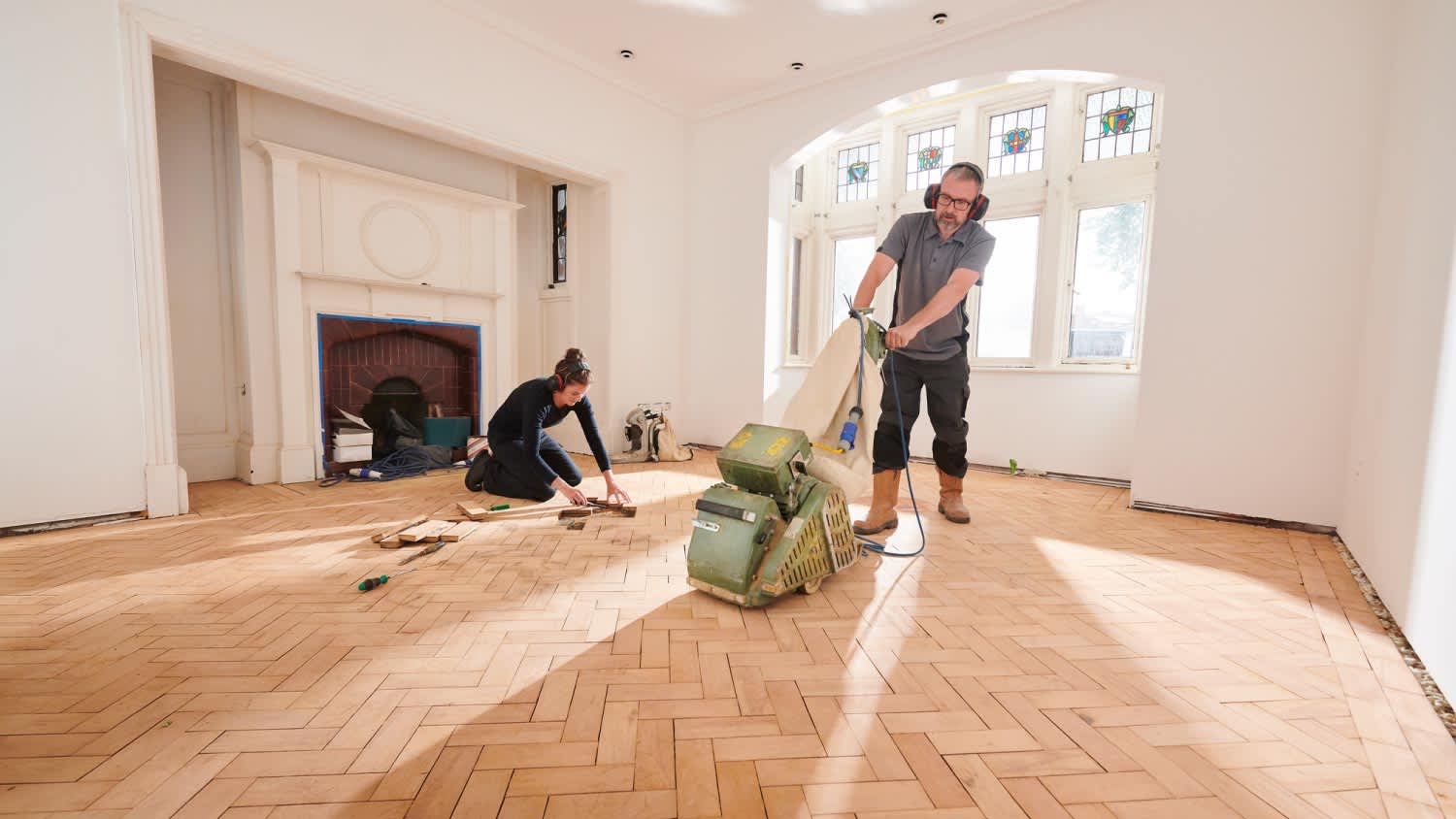
The Laurel, NE homeowners’ guide to floor sanding services
From average costs to expert advice, get all the answers you need to get your job done.
Here’s what you should expect to pay when renting an orbital, drum, vibrating, or edging floor sander—as well as where you can rent them and what else to know.
It’s impossible to keep floors damage-free over the years. Thankfully, the cost to refinish hardwood floors is far less than the price tag to replace them altogether.
Does your rough concrete need some TLC? Learn how to sand concrete to smooth out holes, chips, and other imperfections to get your concrete looking brand new.