




Top-rated land clearing pros.

Get matched with top land clearing pros in Conehatta, MS

Enter your zip and get matched with up to 5 pros

Need a pro for your land clearing project in Conehatta, MS?

Select your specific project to find the pro for you.

TRUSTED BY CONEHATTA, MS HOMEOWNERS

  • Average homeowner rating star icon4.7
    Average homeowner rating
  • Verified reviews icon13
    Verified land clearing services reviews

Find Land clearing pros in Conehatta

Avatar for Dumpster Dog
Dumpster Dog
5.0(
10
)

Serving Conehatta, MS and surrounding areas

Approved

In business since 2023

Free estimates

Credit card accepted

"This is hands-down the best company Iâ  ve ever seen theyâ  re quick to respond. They do what they say theyâ  re going to do for the best price."
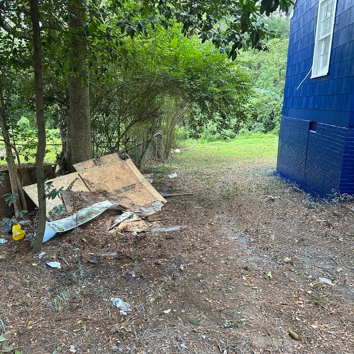
Junk Removal
Junk Removal
Junk Removal
Junk Removal
Junk Removal

+16

Response time10 hrs
43 neighbors recently requested a quote
Recommended by77%of homeowners
Avatar for Thigpen Septic Tank Service
Thigpen Septic Tank Service
4.7(
55
)

Serving Conehatta, MS and surrounding areas

Credit card accepted

"Very professional service. Price was as quoted and less than local competitors. Showed up a little late but contacted us to let us know he was running behind first. Took about an hour to complete the work. Would definitely use them again."
Truck
Truck & Jerrys
Truck door & Jerrys
Truck
Additional Photos

+5

Recommended by96%of homeowners

Showing 1-10 of 32
Land Clearing Services questions, answered by experts

Surveys completed by licensed surveyors can be recorded with a local surveying records office, and in most cases, they will be. Filing survey reports categorize them as legal documents, and they can be used whenever legal documentation of your property’s boundaries is needed. While you’re not required to file survey documents, it’s a good idea to do so. 

Professional well contractors may use electromagnetic mapping to look for places with a high likelihood of water. Water access can vary significantly, even on the same property, so it can be difficult to know where to drill if you don’t have specialized tools to look for water.

ALTA/ACSM surveys are the most comprehensive type of land survey and, as such, tend to be the most expensive. These surveys have standardized guidelines and reports and are used in many kinds of real estate transactions to ensure consistent and accurate information is available for properties.

There are a couple of ways you can determine the depth of your well. One method is to use a device called a well sounder. This tool has a long measuring tape containing a sensor to alert you once the end reaches the water. 

Or you can DIY it by using a long tape measure with a half-filled bottle of water attached to it. Lower the tape measure into your well. Once you feel tension on the tape, you’ll know the bottle has reached your static water level. This will give you an approximate idea of your well’s depth.

A land survey can take anywhere from a few hours to a month or more, depending on the size of the property, the type of survey, the property’s accessibility and topography, and the availability of historical property records. A simple boundary survey to determine a fence line can be completed in a day while surveying 50 acres of undeveloped woodlands may take weeks or longer.

The Conehatta, MS homeowners’ guide to land clearing services

From average costs to expert advice, get all the answers you need to get your job done.