





Top-rated land clearing pros.

Get matched with top land clearing pros in Raymore, MO

Enter your zip and get matched with up to 5 pros

Need a pro for your land clearing project in Raymore, MO?

Select your specific project to find the pro for you.

TRUSTED BY RAYMORE, MO HOMEOWNERS

  • Average homeowner rating star icon4.6
    Average homeowner rating
  • Verified reviews icon693
    Verified land clearing services reviews

Find Land clearing pros in Raymore

Avatar for Solid Ground Land & Excavation Services LLC
Solid Ground Land & Excavation Services LLC
5.0(
6
)

Serving Raymore, MO and surrounding areas

Approved

In business since 2024

Free estimates

Credit card accepted

"We live in Utah and have owned property in Independence for years. With the overgrowth rate, we hired a person to keep it cleared. He did marvelous until ill with serious complications. Tried Angi several times to find someone to take over. After no offers, we gave up over a year ago. Recently, Independence City sent us a written overgrowth notice. Angi was tired again. Within an hour was contacted by Solid Ground Land & Excavation Services, LLC. Their representative was attentive, interested and helpful. He visited the land that day and sent a bid that evening. The bid was reasonable and we contracted this company the next day. Less than a week later, the job is done and photos provided to show "Before" and "After" conditions of the land. Excellently done! Further, this company has agreed to assist us to find a new person to do the ongoing maintenance. Could not be more pleased with the outcome. Thanks to Hap and to Angi!!"
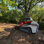
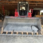
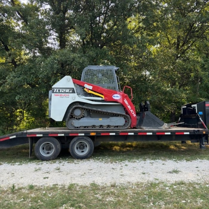
Skid Steer
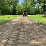
Grading Project
fresh new drive-way
Excavation Equipment

+2

Response time3 hrs
Response rate89%
18 neighbors recently requested a quote
Avatar for Wilson Land Management  LLC
Wilson Land Management LLC
5.0(
1
)

Serving Raymore, MO and surrounding areas

Approved

In business since 2025

Free estimates

Small jobs welcome

We pride our company on reliability, great communication,\nintegrity, and quality work. We are experts in our trade and will do our best\nto keep you as educated as we can on your particular task or project. We look\nforward to earning your business!

Response time8 hrs
Response rate100%
26 neighbors recently requested a quote
Avatar for KC Septic & Sewer Contractors
KC Septic & Sewer Contractors
5.0(
3
)

Serving Raymore, MO and surrounding areas

Approved

In business since 2024

Free estimates

Warranties offered

"Hector was amazing from start to finish. Prompt and shows up himself to estimate the work, which was much more reasonable than the 2 other quotes we received, and does a great job through until the end. I have used him three times (for clients anbd myself) and has been consistent every time. He listens, gives quotes quickly, and schedules the repair promptly. Could not recommend more highly, he will be my sewer and septic guy for the long-term!"
Logo
Response time1 day
16 neighbors recently requested a quote
Avatar for DJ property management and excavation
DJ property management and excavation
New to Angi

Serving Raymore, MO and surrounding areas

Approved

At DJ Property Management & Excavation, I take pride in honest work, fair pricing, and treating every property like it’s my own. Whether it’s brush hogging, land clearing, mowing, cleanup, or general property maintenance, my goal is to make your property look its best without the hassle. I believe in showing up on time, communicating clearly, and getting the job done right the first time. No shortcuts — just dependable, hardworking service you can count on.

3 neighbors recently requested a quote
...
Showing 1-10 of 102
Land Clearing Services questions, answered by experts

The small lines on the tape measure either indicate inches, fractions of an inch, or centimeters and millimeters. On the imperial unit side (aka the inches side), the longest lines indicate inches, followed by the next shortest lines that indicate a half-inch, and then the quarter, eighth, and sixteenth-inch. On the metric side, the lines break down meters, centimeters, and millimeters.

ALTA/ACSM surveys are the most comprehensive type of land survey and, as such, tend to be the most expensive. These surveys have standardized guidelines and reports and are used in many kinds of real estate transactions to ensure consistent and accurate information is available for properties.

Building a road on a slope requires careful planning and will normally require a drainage system underneath to prevent flooding and damage to the road over time. Your professional may lengthen your road to create switchbacks if the slope directly to your home is too steep, as there are regulations for maximum road slope. The drainage system will help prevent runoff from the higher side of the slope from damaging the asphalt or concrete. Keep in mind that building a road on a slope isn’t a good DIY project, as a lot can go wrong.

Land survey reports have a boatload of information relevant to several scenarios. Here are the types of information contained with a survey, though it depends on your chosen type of land survey. Exact boundaries and dimensions of a given property General topography, including both natural and artificial landmarks Location of utility fixtures, like water mains Confirmation of any easements or encroachments on a piece of property Assessment of land elevation to buy flood insurance Updated information to add to a pre-existing property map

A few different types of land surveys can help determine certain features and boundaries of your property. These include:

  • Boundary surveys describe the actual borders of a property. These are generally required when trying to get construction permits issued. 

  • Location surveys provide much of the same information as a boundary survey but also include in-depth information about any improvements made to your property. 

  • Mortgage location surveys are usually required by lenders and title companies before financing or offering an insurance policy. 

  • Site-planning surveys are done before applying for building permits and can be issued before any major home improvements. 

  • Topographic surveys provide a formal map of land elevations. It can also describe the location and size of natural features and any land improvements.

The Raymore, MO homeowners’ guide to land clearing services

From average costs to expert advice, get all the answers you need to get your job done.