






Top-rated land clearing pros.

Get matched with top land clearing pros in Peculiar, MO

Enter your zip and get matched with up to 5 pros

Need a pro for your land clearing project in Peculiar, MO?

Select your specific project to find the pro for you.

TRUSTED BY PECULIAR, MO HOMEOWNERS

  • Average homeowner rating star icon4.5
    Average homeowner rating
  • Verified reviews icon610
    Verified land clearing services reviews

Find Land clearing pros in Peculiar

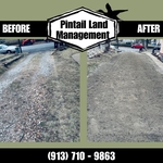
Avatar for Pintail Land Management LLC
Pintail Land Management LLC
5.0(
8
)
Building Site - Preparation and ClearingBuilding Site - Preparation and Clearing - For Business

Serving Peculiar, MO and surrounding areas

Approved

In business since 2025

Free estimates

Credit card accepted

"I have known this man for most of my life, he has always been very helpful and been there for others if they have needed help with anything. He is very responsible and a very kind person. I know he is honest and very hard working and I would recommend him for hire. He has spread gravel for one of my family members and did a very nice job."
Small demolition job
Gravel driveway rebuild
Gravel driveway
1 neighbors recently requested a quote
Avatar for GLE Land Management LLC
GLE Land Management LLC
New to Angi
Building Site - Preparation and Clearing - For Business

Serving Peculiar, MO and surrounding areas

Approved

In business since 2025

Free estimates

Warranties offered

We pride ourselves on our extreme professionalism and attention to detail. Our customer satisfaction guarantee will assure you we will not leave your property until you are completely satisfied with our work. As a locally owned and operated business you can trust that we will treat your home as we would treat our own. Give us a call today, and we look forward to working with you!\n

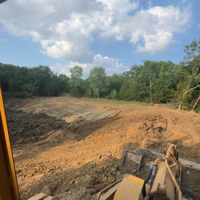
Pomona Pond
Pomona Pond
Pomona Pond
Pomona Pond
Pomona Pond

+14

Avatar for TH Excavation
TH Excavation
New to Angi
Building Site - Preparation and ClearingBuilding Site - Preparation and Clearing - For Business

Serving Peculiar, MO and surrounding areas

Approved

In business since 2021

Free estimates

Offers commercial services

We invite you to experience a tradition of customer satisfaction that will exceed your greatest expectations. Our professionalism and quality workmanship will accurately reflect your taste and liestyle. From conception to completion, we work with you until the job is done. We are ethical, honest, and easy to communicate with.\nCall us today you'll be pleased you did. Thank you.\n

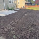
Top soil around sidewalk
...
Showing 1-10 of 79
Land Clearing Services questions, answered by experts

Land survey reports have a boatload of information relevant to several scenarios. Here are the types of information contained with a survey, though it depends on your chosen type of land survey. Exact boundaries and dimensions of a given property General topography, including both natural and artificial landmarks Location of utility fixtures, like water mains Confirmation of any easements or encroachments on a piece of property Assessment of land elevation to buy flood insurance Updated information to add to a pre-existing property map

A boundary survey measures the boundary lines of the property, only the length of each property line and their locations. A land survey includes a more in-depth measurement of the property, including the heights and depths of the terrain measured by a topographic survey. A boundary survey is typically the most cost-effective method for marking and measuring property lines.

A land survey provides precise property boundaries, reveals legal encroachments, and identifies rights-of-way, minimizing disputes. Understanding the exact dimensions and features of the property aids in informed decision-making and safeguards the buyer's investment.

Depending on the type of land survey, the report will mark the boundaries of your property, the topographical changes of the landscape, as well as major natural and added structures to the plot. A more detailed survey, like an as-built survey, will note the measurements of the structures and landscape following major construction. A topographic survey will also help your contractor determine the cost of land development projects.

There are a couple of ways you can determine the depth of your well. One method is to use a device called a well sounder. This tool has a long measuring tape containing a sensor to alert you once the end reaches the water. 

Or you can DIY it by using a long tape measure with a half-filled bottle of water attached to it. Lower the tape measure into your well. Once you feel tension on the tape, you’ll know the bottle has reached your static water level. This will give you an approximate idea of your well’s depth.

The Peculiar, MO homeowners’ guide to land clearing services

From average costs to expert advice, get all the answers you need to get your job done.