
Top-rated land clearing pros.

Best land clearing pros near Mentor, MN

Enter your zip and get matched with up to 5 pros

Need a pro for your land clearing project in Mentor, MN?

Select your specific project to find the pro for you.

Top-Rated Land clearing pros in Mentor - Updated Nov 2026

Drain Services Inc
5.0(
5
)
Building Site - Preparation and ClearingBuilding Site - Preparation and Clearing - For Business

Serving Mentor, MN and surrounding areas

In business since 2009

Free estimates

Emergency services offered

"From start to finish, Kevin and his crew are the best in the business. Very thorough communication and seeing things through to the end. Kevin is very attentive to concerns and very reassuring. Nobody in this company’s line of work could possibly match what drain services has going on. They have a great culture. Strongly recommend."
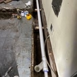
House Sanitary Sewer Repair
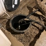
Sump Pump & Drain Tile
House Sanitary Sewer Repair
Commercial Kitchen Sanitary Sewer Repair
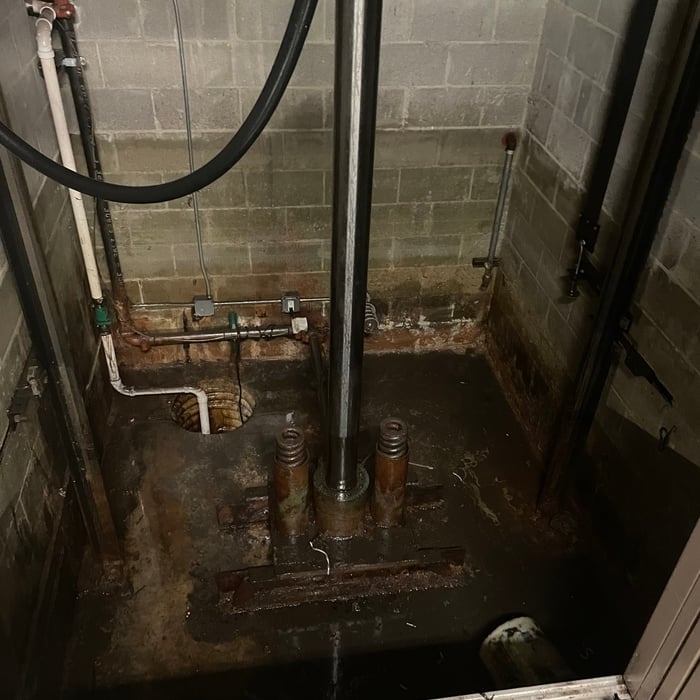
Storm Water Pumping

+16

Recommended by100%of homeowners
Land Clearing Services FAQs, answered by experts

Depending on the type of land survey, the report will mark the boundaries of your property, the topographical changes of the landscape, as well as major natural and added structures to the plot. A more detailed survey, like an as-built survey, will note the measurements of the structures and landscape following major construction. A topographic survey will also help your contractor determine the cost of land development projects.

Before property transactions or major improvements to ensure accuracy.

Land survey reports have a boatload of information relevant to several scenarios. Here are the types of information contained with a survey, though it depends on your chosen type of land survey. Exact boundaries and dimensions of a given property General topography, including both natural and artificial landmarks Location of utility fixtures, like water mains Confirmation of any easements or encroachments on a piece of property Assessment of land elevation to buy flood insurance Updated information to add to a pre-existing property map

A land survey includes the layout of a single property, including precise measurements and to-scale drawings of boundary lines, land improvements, and sometimes other features, like topography and drainage information. A plat map includes the layouts and boundary lines of several adjacent plots and basic structure measurements. Surveys are normally more valuable for homeowners and buyers, and plat maps are for governmental use.

Soil testers and licensed excavators are often the professionals you hire if you need a perc test. In some cases, structural engineers will also be able to conduct the test for you. In many municipalities, you’ll need your professional on-site to dig and fill the holes with water, as well as a representative from your local building department or health department. That representative is the individual who will determine whether your test passes or fails.

The Mentor, MN homeowners’ guide to land clearing services

From average costs to expert advice, get all the answers you need to get your job done.