



Top-rated land clearing pros.

Get matched with top land clearing pros in Mahnomen, MN

Enter your zip and get matched with up to 5 pros

Need a pro for your land clearing project in Mahnomen, MN?

Select your specific project to find the pro for you.

Find Land clearing pros in Mahnomen

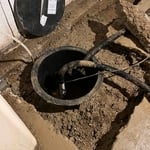
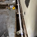
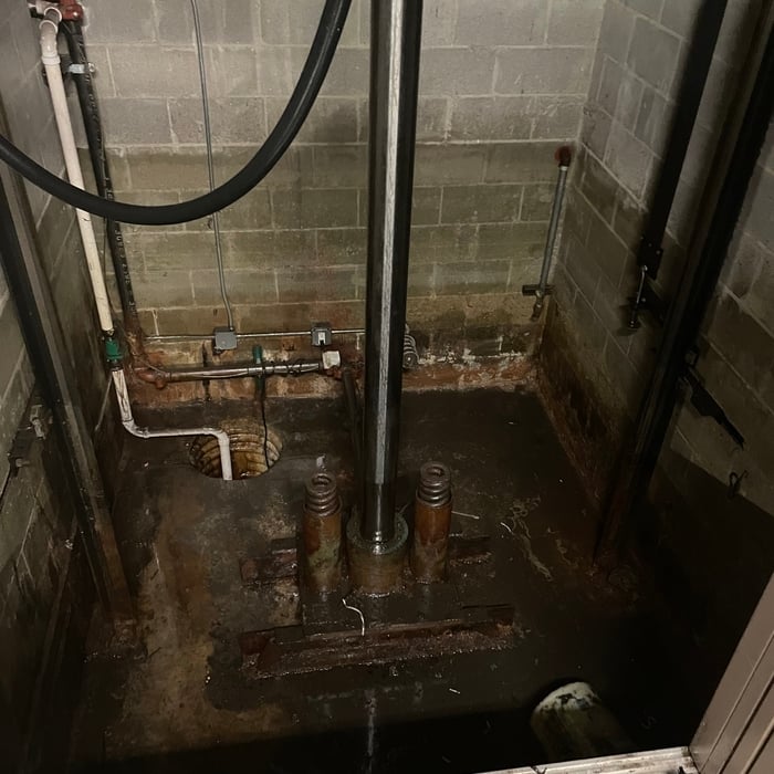
Drain Services Inc
5.0(
5
)
Building Site - Preparation and ClearingBuilding Site - Preparation and Clearing - For Business

Serving Mahnomen, MN and surrounding areas

In business since 2009

Free estimates

Emergency services offered

"From start to finish, Kevin and his crew are the best in the business. Very thorough communication and seeing things through to the end. Kevin is very attentive to concerns and very reassuring. Nobody in this company’s line of work could possibly match what drain services has going on. They have a great culture. Strongly recommend."
House Sanitary Sewer Repair
Sump Pump & Drain Tile
House Sanitary Sewer Repair
Commercial Kitchen Sanitary Sewer Repair
Storm Water Pumping

+16

Recommended by100%of homeowners
JK Construction
New to Angi
Building Site - Preparation and ClearingBuilding Site - Preparation and Clearing - For Business

Serving Mahnomen, MN and surrounding areas

In business since 2020

Free estimates

Offers commercial services

We take great pride in our experience, expertise, quality, and customer\nservice that we provide to meet the consumer's needs. It is our mission\nto provide excellent workmanship and complete\ncustomer satisfaction from start to completion of a project. In order to\nunderstand the needs and expectations of our customers, we take great\ncare to work and communicate with every customer in a professional\nmanner. Our reputation is based on service, safety,\nand quality, regardless of how large or small the job.

Land Clearing Services questions, answered by experts

A boundary survey measures the boundary lines of the property, only the length of each property line and their locations. A land survey includes a more in-depth measurement of the property, including the heights and depths of the terrain measured by a topographic survey. A boundary survey is typically the most cost-effective method for marking and measuring property lines.

If you can’t find any records online, you’ll need to contact your county clerk’s office to do further research. They should have property records on file, or can at least point you in the right direction of who to contact. You can also speak with your neighbors about when their houses were built because they were likely built around the same time.

When planning for land survey costs, you should consider the following elements as major contributors to the overall cost:

  • Size of your property in terms of acres or square feet

  • Complexity of the terrain in terms of hills, elevation changes, rocks, water, and other features

  • Type of survey you need (boundary survey, topographic survey, or a combination of survey types)

  • Distance traveled for the professional surveyor

The small lines on the tape measure either indicate inches, fractions of an inch, or centimeters and millimeters. On the imperial unit side (aka the inches side), the longest lines indicate inches, followed by the next shortest lines that indicate a half-inch, and then the quarter, eighth, and sixteenth-inch. On the metric side, the lines break down meters, centimeters, and millimeters.

Depending on the type of land survey, the report will mark the boundaries of your property, the topographical changes of the landscape, as well as major natural and added structures to the plot. A more detailed survey, like an as-built survey, will note the measurements of the structures and landscape following major construction. A topographic survey will also help your contractor determine the cost of land development projects.

The Mahnomen, MN homeowners’ guide to land clearing services

From average costs to expert advice, get all the answers you need to get your job done.